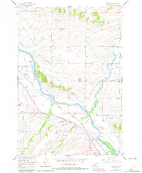
1955 Map of Greycliff
USGS Topo · Published 1981About this map
The Yellowstone River cuts a wide valley through this Montana landscape, where the Burlington Northern railroad tracks parallel the water through the settlement of Greycliff. This 1955 survey, updated with late-1970s data, reveals a ranching and transport corridor defined by intricate irrigation systems like the Pioneer Ditch and Bailey Clark Ditch. The presence of the Greycliff Prairie Dog Town State Monument highlights the region's conservation of native prairie ecosystems amidst active agricultural land. Genealogists and local historians can find specific family-named landmarks such as the Boe Ranch and Overfelt, while educational history is preserved through the locations of the Howie Sch and both Old Schoolhouse Gulch and New Schoolhouse Gulch. The terrain is deeply incised by numerous drainages, including the aptly named Hangmans Creek and Sweet Grass Creek.
Find a feature on this map
42 named features on this map. Tap any name to fly to it.
Don’t see what you’re looking for? This feature index may not catch every label — zoom into the map to look around manually.
Map Details
Editions of this 1955 Greycliff Map
3 editions found
Other maps of this area

1891 · Big Timber
USGS Topo · 1:125,000

1893 · Big Timber
USGS Topo · 1:125,000

1954 · Big Timber
USGS Topo · 1:24,000
1954 · Ross Canyon
USGS Topo · 1:24,000
1954 · Otter Creek School
USGS Topo · 1:24,000
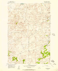
1954 · Ryan Creek
USGS Topo · 1:24,000

1954 · Billings
USGS Topo · 1:250,000

1955 · Packsaddle Butte
USGS Topo · 1:24,000

1955 · Greycliff
USGS Topo · 1:24,000
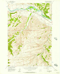
1956 · Work Creek
USGS Topo · 1:24,000