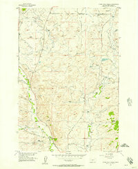
1954 Map of Otter Creek School
USGS Topo · Published 1957About this map
Otter Creek and its many tributaries define this mid-century landscape in Sweet Grass County, where a ranching economy relied on an intricate network of irrigation canals and ditches. The map reveals a high density of rural schoolhouses, including Otter Creek Sch, Wild Rose Sch, and Glasston Sch, which served the scattered families of the Big Timber area. Named homesteads and ranches, such as the Mattice Homestead and Kortum Ranch, are situated along the creek bottoms and draws, illustrating the importance of water access in this semi-arid region. A Rifle Club Firing Range and a Community Hall near Big Timber Creek point to the social hubs of the era. The presence of the Rudd Ditch and numerous unnamed ditches suggests a highly managed water system supporting cattle and agriculture just north of the Yellowstone River valley.
Find a feature on this map
47 named features on this map. Tap any name to fly to it.
Don’t see what you’re looking for? This feature index may not catch every label — zoom into the map to look around manually.
Map Details
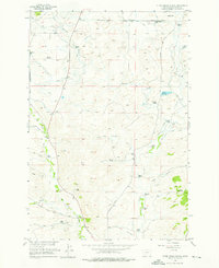
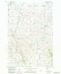
Editions of this 1954 Otter Creek School Map
Other maps of this area

1886 · Little Belt Mts.
USGS Topo · 1:250,000

1889 · Big Snowy Mountain
USGS Topo · 1:250,000

1891 · Livingston
USGS Topo · 1:250,000

1891 · Big Timber
USGS Topo · 1:125,000

1893 · Livingston
USGS Topo · 1:250,000

1893 · Big Snowy Mountain
USGS Topo · 1:250,000

1893 · Big Timber
USGS Topo · 1:125,000

1894 · Little Belt Mts.
USGS Topo · 1:250,000

1897 · Little Belt Mts.
USGS Topo · 1:250,000

1898 · Little Belt Mts.
USGS Topo · 1:250,000