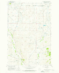
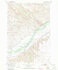
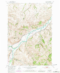
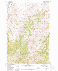
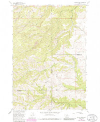
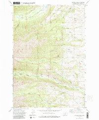
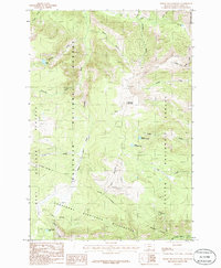
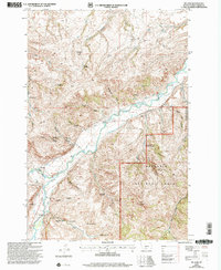
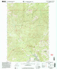
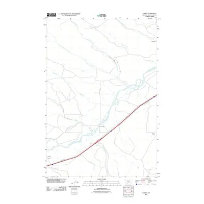
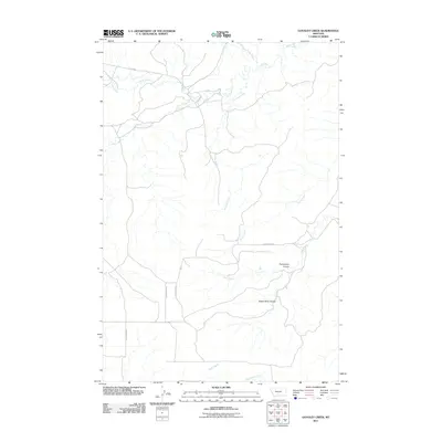
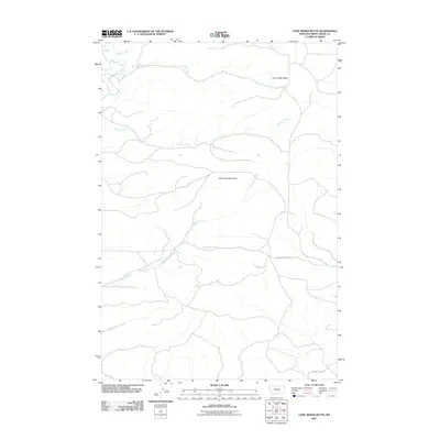
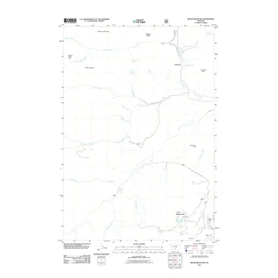
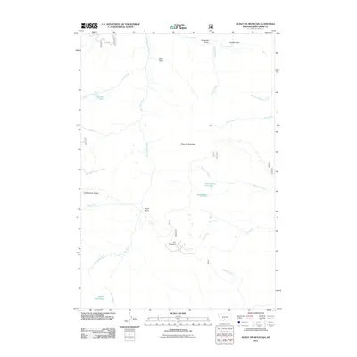
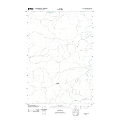
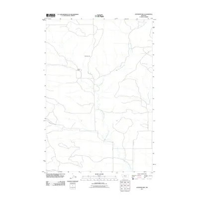
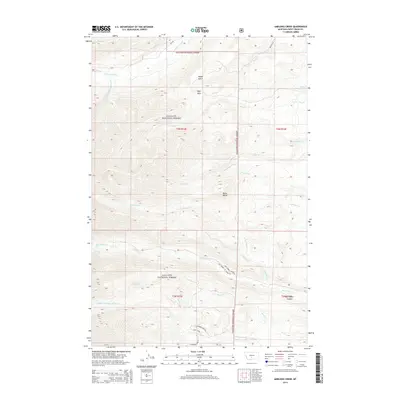
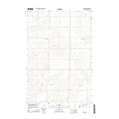
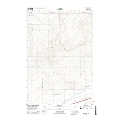
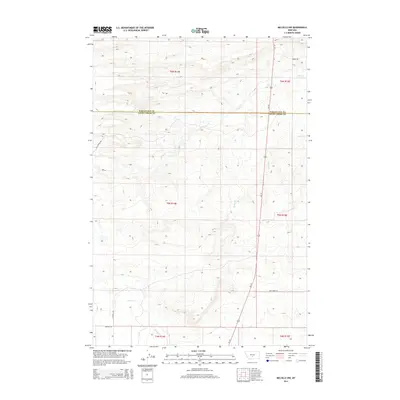
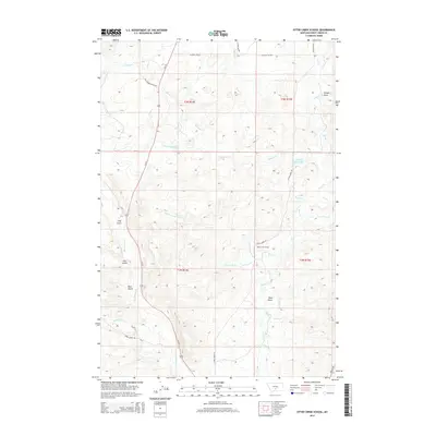
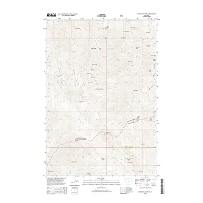
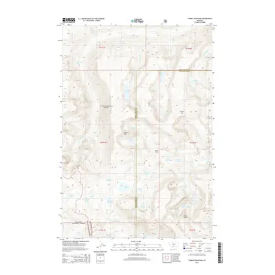
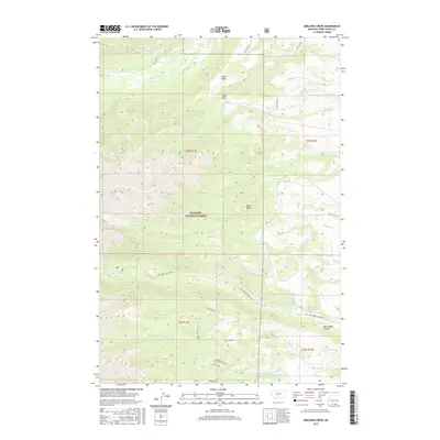
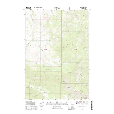
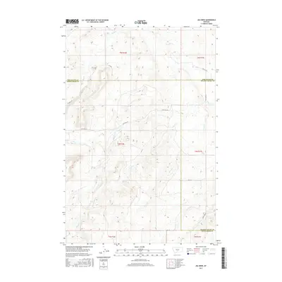
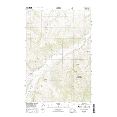
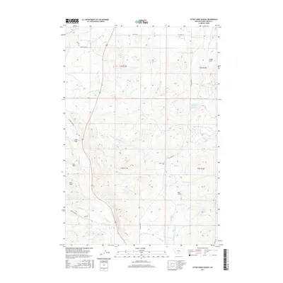
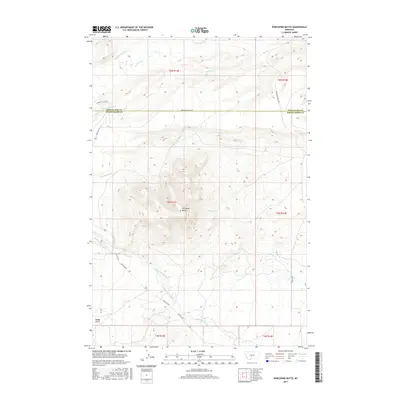
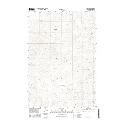
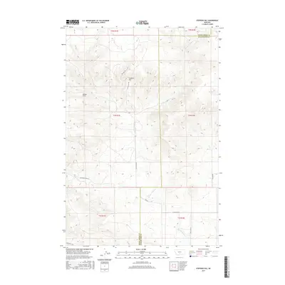
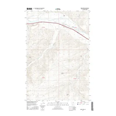
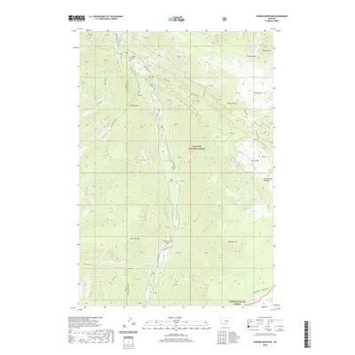
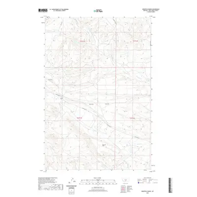
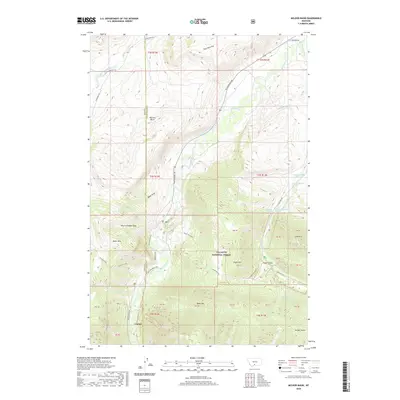
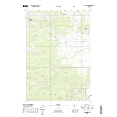
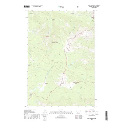
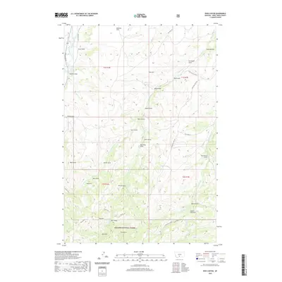
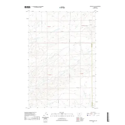
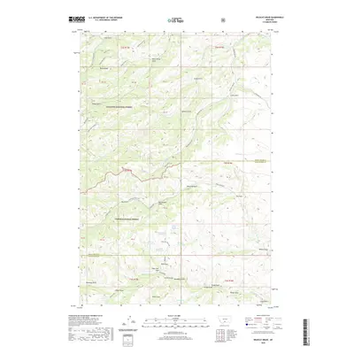
1954 Map of Otter Creek School
USGS Topo · Published 1976About this map
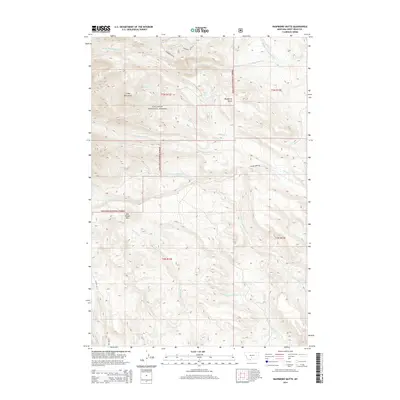
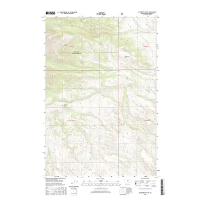
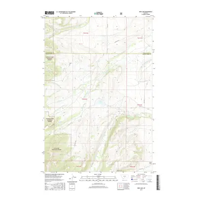
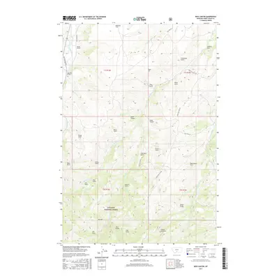
Large cattle ranches and family homesteads dominate this landscape in Sweet Grass County, where the plains meet the foothills along the Big Timber Creek drainage. The map reveals a community organized around rural social centers like the Community Hall and a network of one-room schoolhouses, including Glasston Sch, Wormser Sch, and Wild Rose Sch. These small educational outposts were essential for the children of ranching families such as the J McCormick and Kortum clans.
Find a feature on this map
38 named features on this map. Tap any name to fly to it.
Don’t see what you’re looking for? This feature index may not catch every label — zoom into the map to look around manually.
Map Details
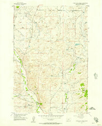
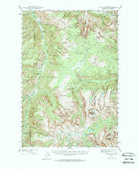
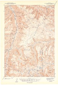
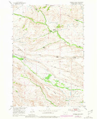
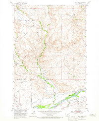
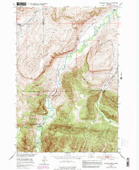
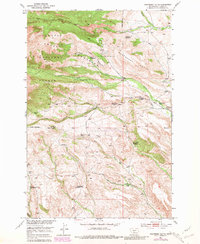
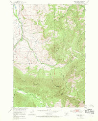
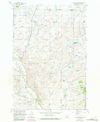
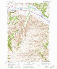
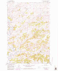
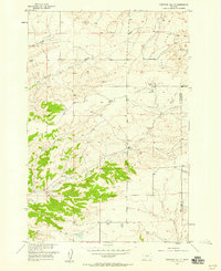
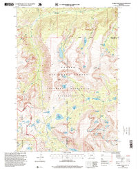
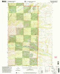
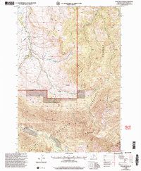
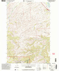
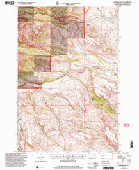
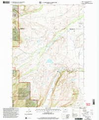
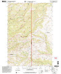
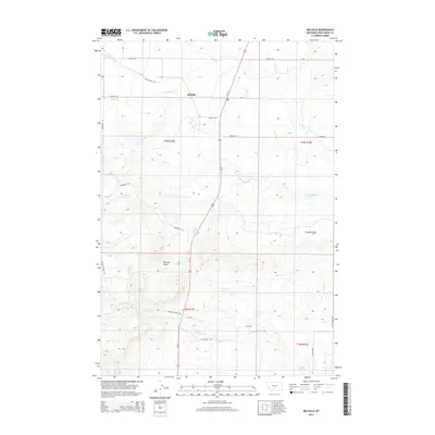
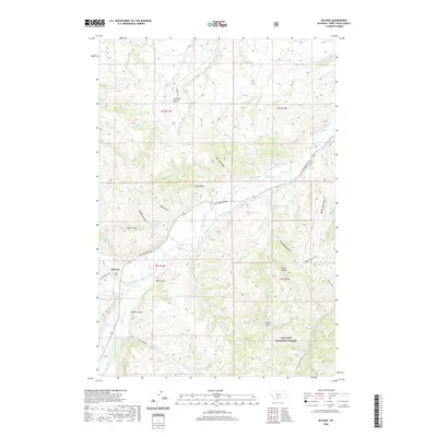
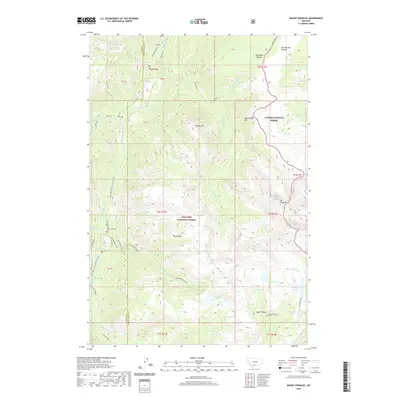
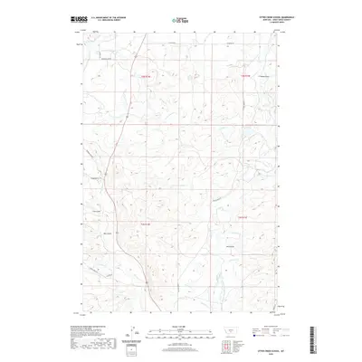
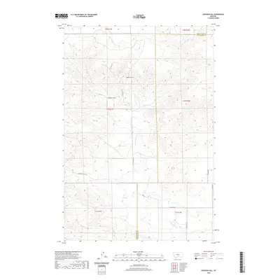
Editions of this 1954 Otter Creek School Map
Historical Maps of Sweet Grass County Through Time
215 maps found
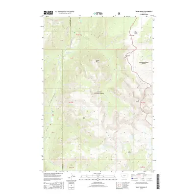
1941 Mt Douglas
Sweet Grass County, MT
1943 Mt. Douglas
Sweet Grass County, MT
1951 Carney
Sweet Grass County, MT
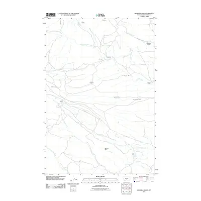
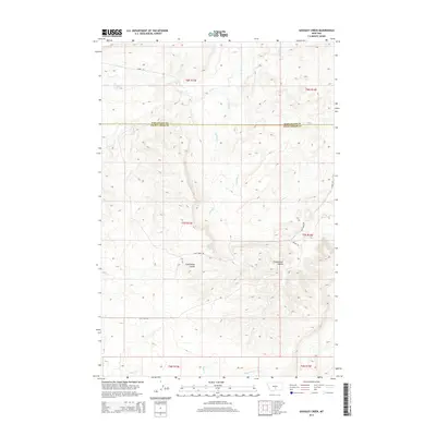
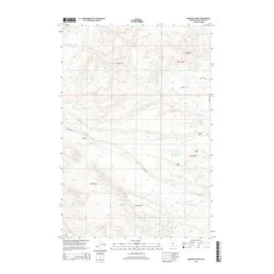
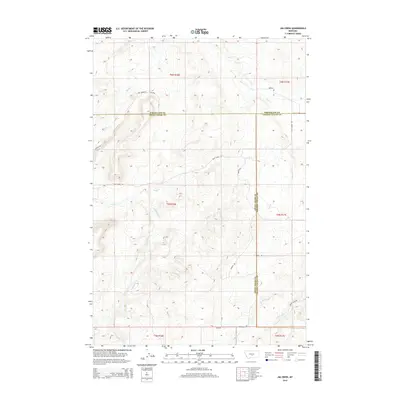
1951 Grosfield Ranch
Sweet Grass County, MT
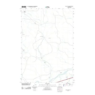
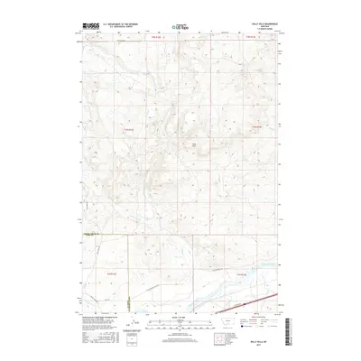
1951 Kelly Hills
Sweet Grass County, MT
1951 Mc Leod Basin
Sweet Grass County, MT
1951 Mc Leod
Sweet Grass County, MT
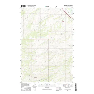
1951 Raspberry Butte
Sweet Grass County, MT
1951 Squaw Peak
Sweet Grass County, MT
1954 Otter Creek School
Sweet Grass County, MT
1954 Ross Canyon
Sweet Grass County, MT
1954 Ryan Creek
Sweet Grass County, MT
1954 Sliderock Mountain
Sweet Grass County, MT
1955 Packsaddle Butte
Sweet Grass County, MT

1955 Stephens Hill
Sweet Grass County, MT
1955 Wildcat Draw
Sweet Grass County, MT
1956 Work Creek
Sweet Grass County, MT

1957 Lone Indian Butte
Sweet Grass County, MT
1957 Sourdough School
Sweet Grass County, MT
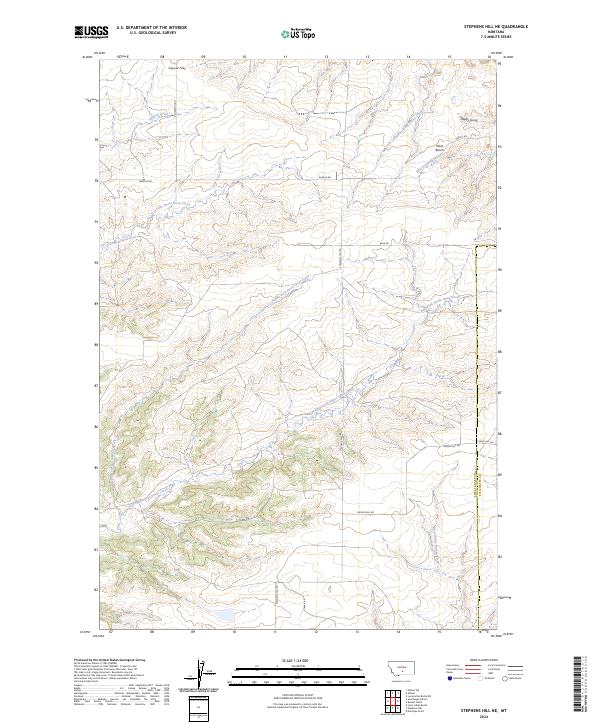
1957 Stephens Hill NE
Sweet Grass County, MT
1972 Amelong Creek
Sweet Grass County, MT
1972 Battleship Butte
Sweet Grass County, MT

1972 Porcupine Butte
Sweet Grass County, MT

1972 Rein Lake
Sweet Grass County, MT

1985 Gibson SW
Sweet Grass County, MT

1985 Gougley Creek
Sweet Grass County, MT

1985 Jim Creek
Sweet Grass County, MT

1985 Melville NW
Sweet Grass County, MT
1985 Melville
Sweet Grass County, MT
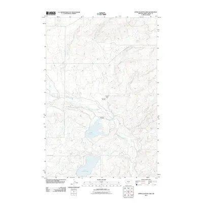
1985 Upper Glaston Lake
Sweet Grass County, MT

1986 Meyer Mountain
Sweet Grass County, MT
1986 Picket Pin Mountain
Sweet Grass County, MT

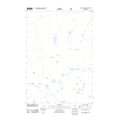
1986 Tumble Mountain
Sweet Grass County, MT

1987 Chrome Mountain
Sweet Grass County, MT

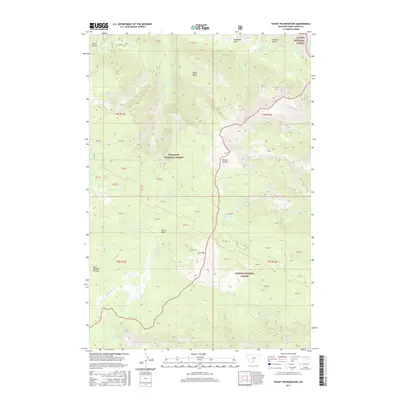
1987 Mount Douglas
Sweet Grass County, MT

1996 Meyer Mountain
Sweet Grass County, MT
1996 Tumble Mountain
Sweet Grass County, MT
2000 Amelong Creek
Sweet Grass County, MT

2000 Chrome Mountain
Sweet Grass County, MT
2000 Enos Mountain
Sweet Grass County, MT

2000 Mc Leod Basin
Sweet Grass County, MT
2000 Mc Leod
Sweet Grass County, MT

2000 Mount Douglas
Sweet Grass County, MT
2000 Packsaddle Butte
Sweet Grass County, MT

2000 Picket Pin Mountain
Sweet Grass County, MT
2000 Raspberry Butte
Sweet Grass County, MT
2000 Rein Lake
Sweet Grass County, MT

2000 Ross Canyon
Sweet Grass County, MT
2000 Sliderock Mountain
Sweet Grass County, MT
2000 Wildcat Draw
Sweet Grass County, MT
2011 Amelong Creek
Sweet Grass County, MT
2011 Battleship Butte
Sweet Grass County, MT
2011 Carney
Sweet Grass County, MT
2011 Chrome Mountain
Sweet Grass County, MT
2011 Enos Mountain
Sweet Grass County, MT
2011 Gibson SW
Sweet Grass County, MT
2011 Gougley Creek
Sweet Grass County, MT
2011 Grosfield Ranch
Sweet Grass County, MT
2011 Jim Creek
Sweet Grass County, MT
2011 Kelly Hills
Sweet Grass County, MT
2011 Lone Indian Butte
Sweet Grass County, MT
2011 McLeod Basin
Sweet Grass County, MT

2011 McLeod
Sweet Grass County, MT
2011 Melville NW
Sweet Grass County, MT
2011 Melville
Sweet Grass County, MT
2011 Meyer Mountain
Sweet Grass County, MT
2011 Mount Douglas
Sweet Grass County, MT
2011 Otter Creek School
Sweet Grass County, MT
2011 Packsaddle Butte
Sweet Grass County, MT
2011 Picket Pin Mountain
Sweet Grass County, MT

2011 Porcupine Butte
Sweet Grass County, MT
2011 Raspberry Butte
Sweet Grass County, MT
2011 Rein Lake
Sweet Grass County, MT
2011 Ross Canyon
Sweet Grass County, MT
2011 Ryan Creek
Sweet Grass County, MT
2011 Sliderock Mountain
Sweet Grass County, MT
2011 Sourdough School
Sweet Grass County, MT
2011 Stephens Hill NE
Sweet Grass County, MT
2011 Stephens Hill
Sweet Grass County, MT
2011 Tumble Mountain
Sweet Grass County, MT
2011 Upper Glaston Lake
Sweet Grass County, MT

2011 Wildcat Draw
Sweet Grass County, MT
2011 Work Creek
Sweet Grass County, MT
2014 Amelong Creek
Sweet Grass County, MT
2014 Battleship Butte
Sweet Grass County, MT

2014 Carney
Sweet Grass County, MT
2014 Chrome Mountain
Sweet Grass County, MT
2014 Enos Mountain
Sweet Grass County, MT
2014 Gibson SW
Sweet Grass County, MT
2014 Gougley Creek
Sweet Grass County, MT
2014 Grosfield Ranch
Sweet Grass County, MT
2014 Jim Creek
Sweet Grass County, MT
2014 Kelly Hills
Sweet Grass County, MT
2014 Lone Indian Butte
Sweet Grass County, MT
2014 McLeod Basin
Sweet Grass County, MT
2014 McLeod
Sweet Grass County, MT
2014 Melville NW
Sweet Grass County, MT
2014 Melville
Sweet Grass County, MT
2014 Meyer Mountain
Sweet Grass County, MT
2014 Mount Douglas
Sweet Grass County, MT
2014 Otter Creek School
Sweet Grass County, MT
2014 Packsaddle Butte
Sweet Grass County, MT
2014 Picket Pin Mountain
Sweet Grass County, MT
2014 Porcupine Butte
Sweet Grass County, MT
2014 Raspberry Butte
Sweet Grass County, MT
2014 Rein Lake
Sweet Grass County, MT
2014 Ross Canyon
Sweet Grass County, MT
2014 Ryan Creek
Sweet Grass County, MT
2014 Sliderock Mountain
Sweet Grass County, MT
2014 Sourdough School
Sweet Grass County, MT
2014 Stephens Hill NE
Sweet Grass County, MT
2014 Stephens Hill
Sweet Grass County, MT
2014 Tumble Mountain
Sweet Grass County, MT
2014 Upper Glaston Lake
Sweet Grass County, MT
2014 Wildcat Draw
Sweet Grass County, MT
2014 Work Creek
Sweet Grass County, MT
2017 Amelong Creek
Sweet Grass County, MT
2017 Battleship Butte
Sweet Grass County, MT
2017 Carney
Sweet Grass County, MT
2017 Chrome Mountain
Sweet Grass County, MT
2017 Enos Mountain
Sweet Grass County, MT
2017 Gibson SW
Sweet Grass County, MT
2017 Gougley Creek
Sweet Grass County, MT
2017 Grosfield Ranch
Sweet Grass County, MT
2017 Jim Creek
Sweet Grass County, MT
2017 Kelly Hills
Sweet Grass County, MT
2017 Lone Indian Butte
Sweet Grass County, MT
2017 McLeod Basin
Sweet Grass County, MT
2017 McLeod
Sweet Grass County, MT
2017 Melville NW
Sweet Grass County, MT
2017 Melville
Sweet Grass County, MT
2017 Meyer Mountain
Sweet Grass County, MT
2017 Mount Douglas
Sweet Grass County, MT
2017 Otter Creek School
Sweet Grass County, MT
2017 Packsaddle Butte
Sweet Grass County, MT
2017 Picket Pin Mountain
Sweet Grass County, MT
2017 Porcupine Butte
Sweet Grass County, MT
2017 Raspberry Butte
Sweet Grass County, MT
2017 Rein Lake
Sweet Grass County, MT
2017 Ross Canyon
Sweet Grass County, MT
2017 Ryan Creek
Sweet Grass County, MT
2017 Sliderock Mountain
Sweet Grass County, MT
2017 Sourdough School
Sweet Grass County, MT
2017 Stephens Hill NE
Sweet Grass County, MT
2017 Stephens Hill
Sweet Grass County, MT
2017 Tumble Mountain
Sweet Grass County, MT
2017 Upper Glaston Lake
Sweet Grass County, MT
2017 Wildcat Draw
Sweet Grass County, MT
2017 Work Creek
Sweet Grass County, MT
2020 Amelong Creek
Sweet Grass County, MT
2020 Battleship Butte
Sweet Grass County, MT
2020 Carney
Sweet Grass County, MT
2020 Chrome Mountain
Sweet Grass County, MT
2020 Enos Mountain
Sweet Grass County, MT
2020 Gibson SW
Sweet Grass County, MT
2020 Gougley Creek
Sweet Grass County, MT
2020 Grosfield Ranch
Sweet Grass County, MT
2020 Jim Creek
Sweet Grass County, MT
2020 Kelly Hills
Sweet Grass County, MT
2020 Lone Indian Butte
Sweet Grass County, MT
2020 McLeod Basin
Sweet Grass County, MT
2020 McLeod
Sweet Grass County, MT
2020 Melville NW
Sweet Grass County, MT
2020 Melville
Sweet Grass County, MT
2020 Meyer Mountain
Sweet Grass County, MT
2020 Mount Douglas
Sweet Grass County, MT
2020 Otter Creek School
Sweet Grass County, MT
2020 Packsaddle Butte
Sweet Grass County, MT
2020 Picket Pin Mountain
Sweet Grass County, MT
2020 Porcupine Butte
Sweet Grass County, MT
2020 Raspberry Butte
Sweet Grass County, MT
2020 Rein Lake
Sweet Grass County, MT
2020 Ross Canyon
Sweet Grass County, MT
2020 Ryan Creek
Sweet Grass County, MT
2020 Sliderock Mountain
Sweet Grass County, MT
2020 Sourdough School
Sweet Grass County, MT
2020 Stephens Hill NE
Sweet Grass County, MT
2020 Stephens Hill
Sweet Grass County, MT
2020 Tumble Mountain
Sweet Grass County, MT
2020 Upper Glaston Lake
Sweet Grass County, MT
2020 Wildcat Draw
Sweet Grass County, MT
2020 Work Creek
Sweet Grass County, MT
2024 Amelong Creek
Sweet Grass County, MT
2024 Battleship Butte
Sweet Grass County, MT
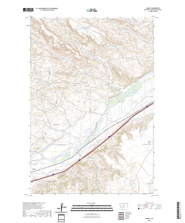
2024 Carney
Sweet Grass County, MT
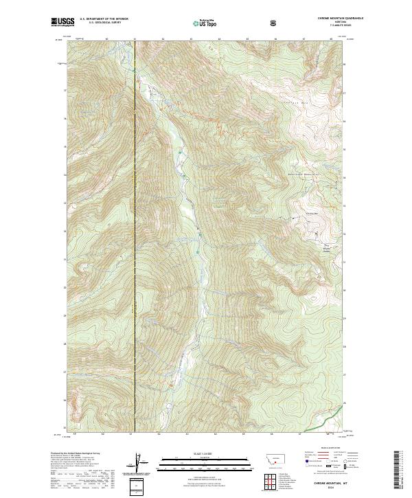
2024 Chrome Mountain
Sweet Grass County, MT
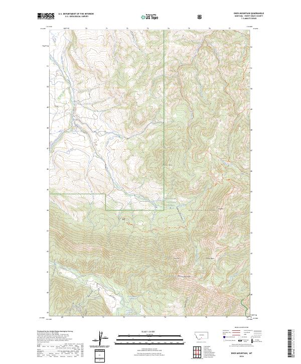
2024 Enos Mountain
Sweet Grass County, MT
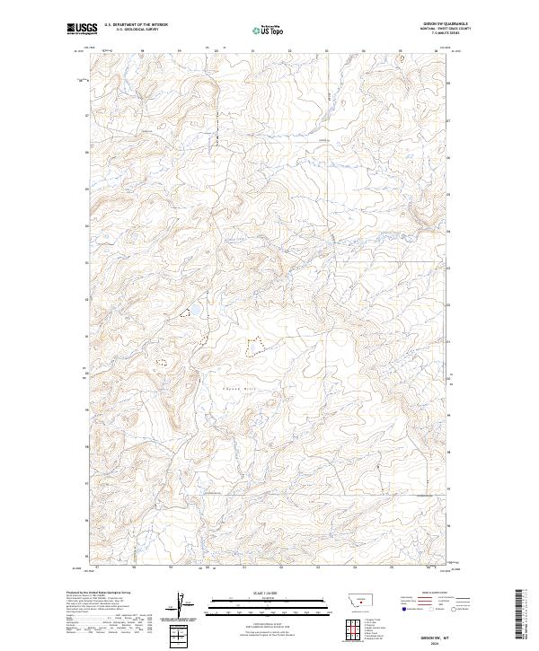
2024 Gibson SW
Sweet Grass County, MT
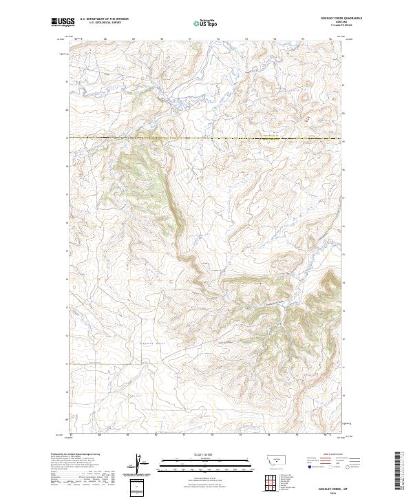
2024 Gougley Creek
Sweet Grass County, MT
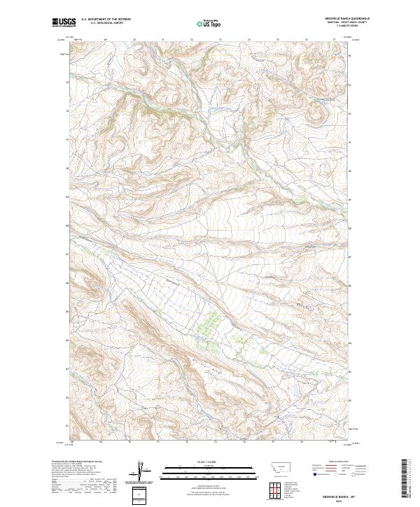
2024 Grosfield Ranch
Sweet Grass County, MT
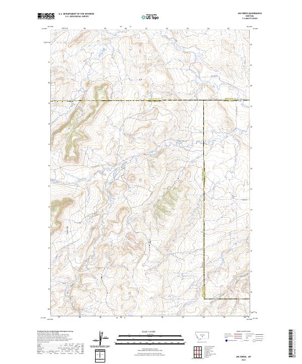
2024 Jim Creek
Sweet Grass County, MT

2024 Kelly Hills
Sweet Grass County, MT
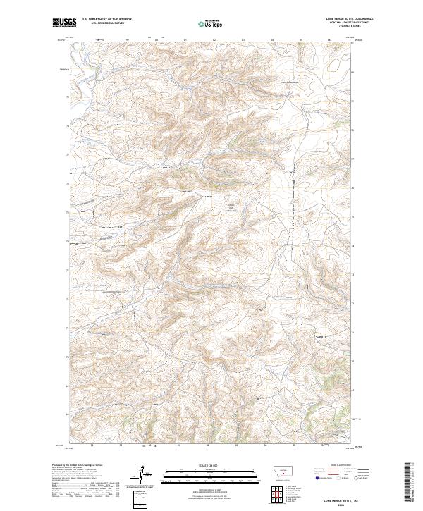
2024 Lone Indian Butte
Sweet Grass County, MT
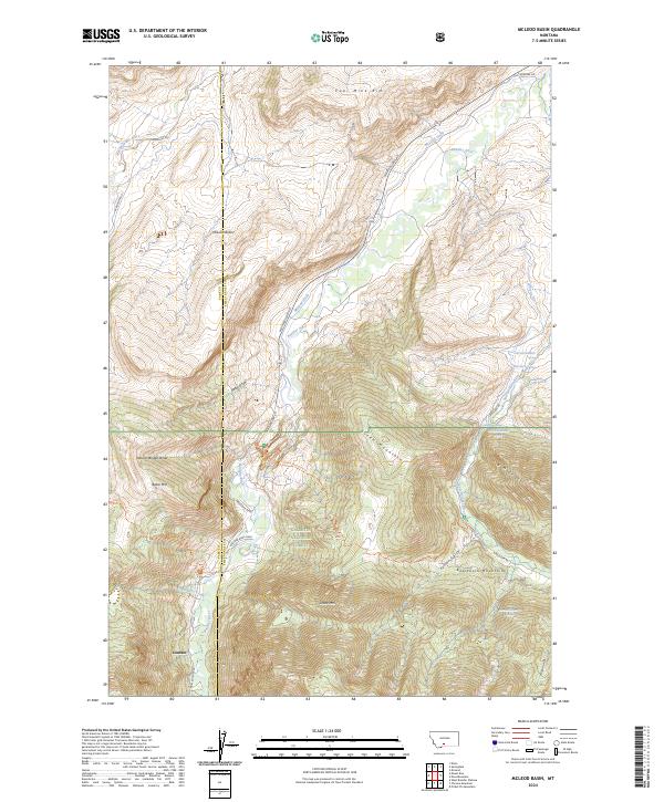
2024 McLeod Basin
Sweet Grass County, MT
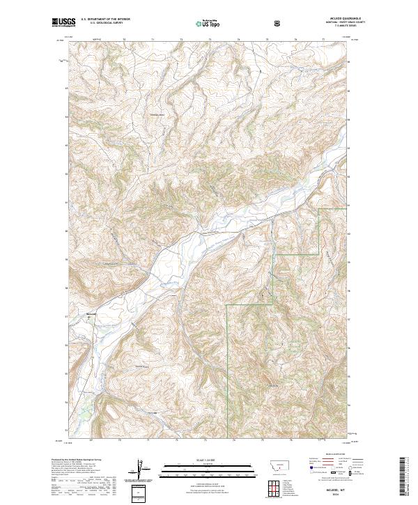
2024 McLeod
Sweet Grass County, MT
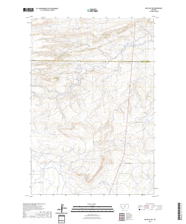
2024 Melville NW
Sweet Grass County, MT
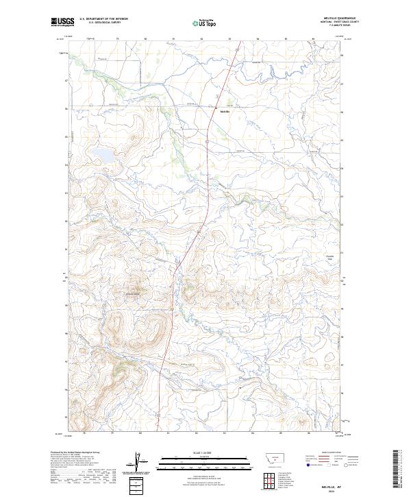
2024 Melville
Sweet Grass County, MT
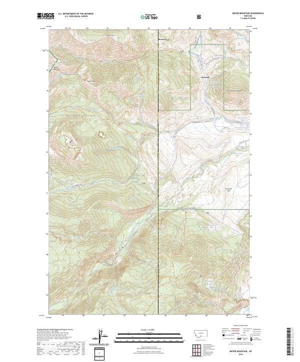
2024 Meyer Mountain
Sweet Grass County, MT
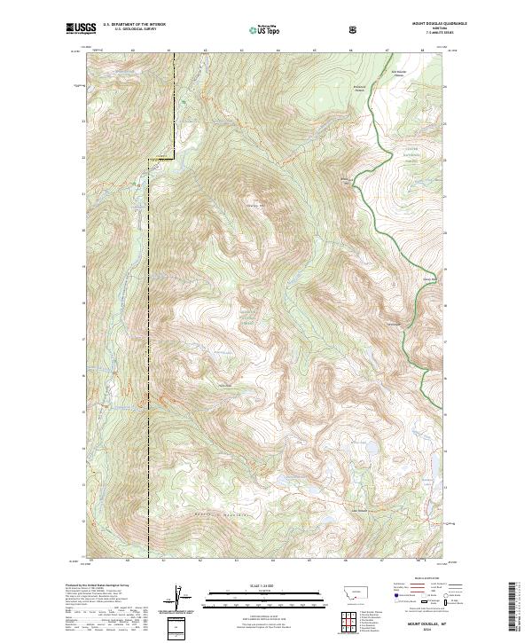
2024 Mount Douglas
Sweet Grass County, MT
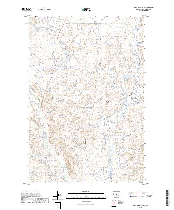
2024 Otter Creek School
Sweet Grass County, MT
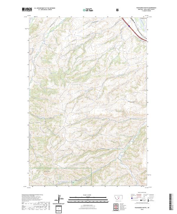
2024 Packsaddle Butte
Sweet Grass County, MT
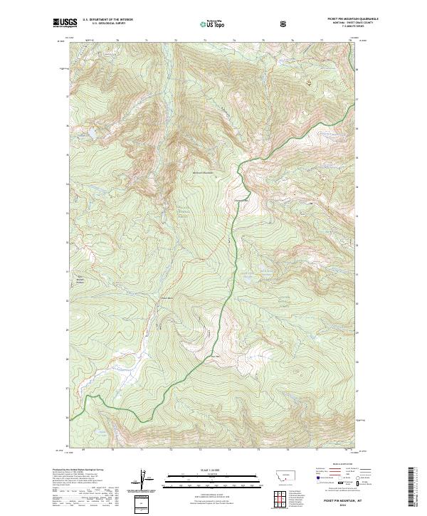
2024 Picket Pin Mountain
Sweet Grass County, MT
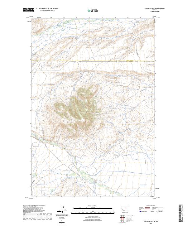
2024 Porcupine Butte
Sweet Grass County, MT
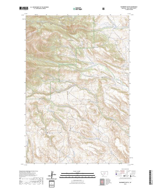
2024 Raspberry Butte
Sweet Grass County, MT
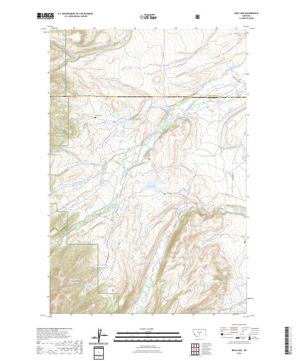
2024 Rein Lake
Sweet Grass County, MT
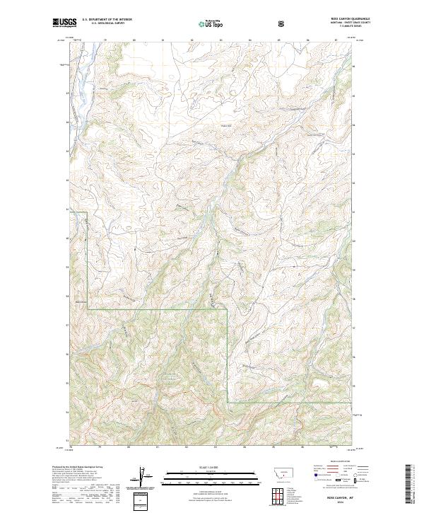
2024 Ross Canyon
Sweet Grass County, MT
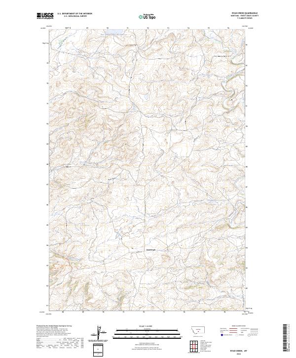
2024 Ryan Creek
Sweet Grass County, MT
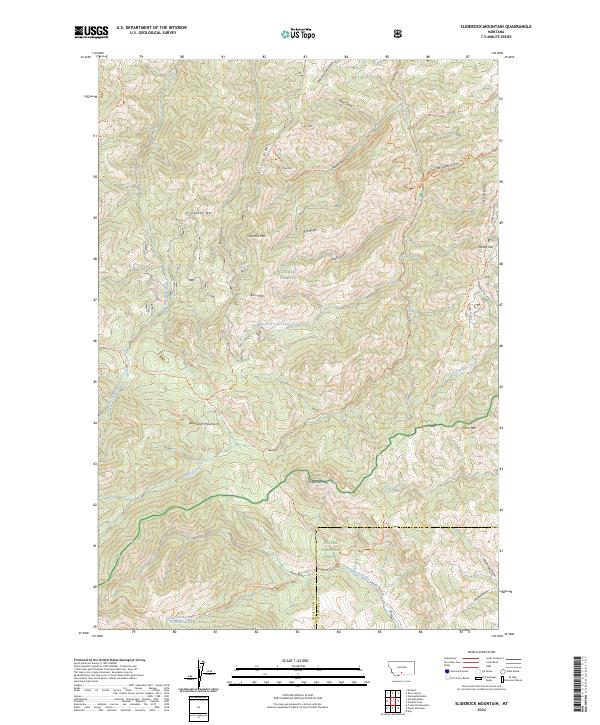
2024 Sliderock Mountain
Sweet Grass County, MT
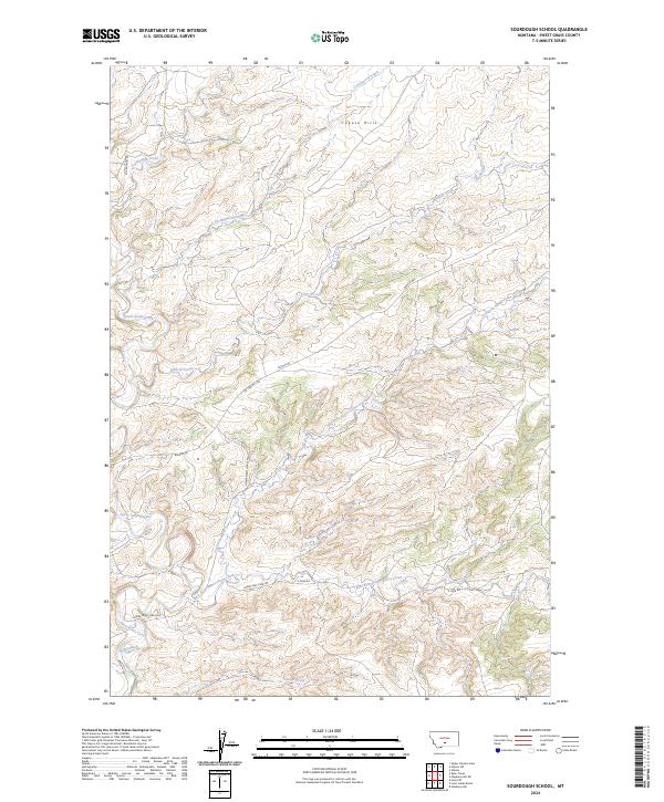
2024 Sourdough School
Sweet Grass County, MT
2024 Stephens Hill NE
Sweet Grass County, MT
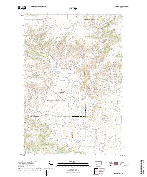
2024 Stephens Hill
Sweet Grass County, MT
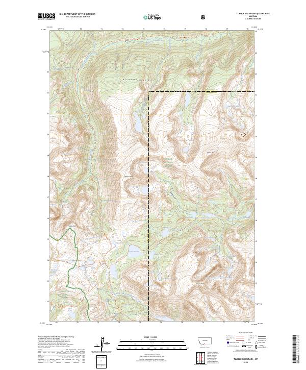
2024 Tumble Mountain
Sweet Grass County, MT
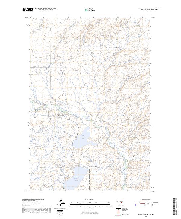
2024 Upper Glaston Lake
Sweet Grass County, MT
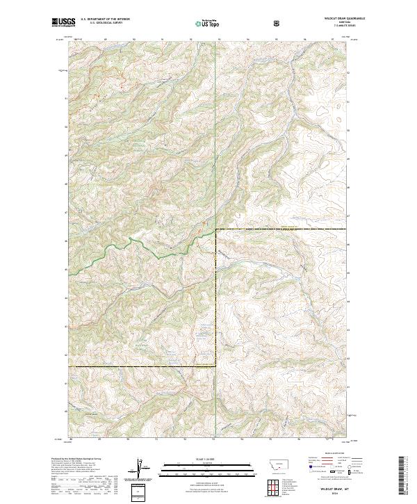
2024 Wildcat Draw
Sweet Grass County, MT
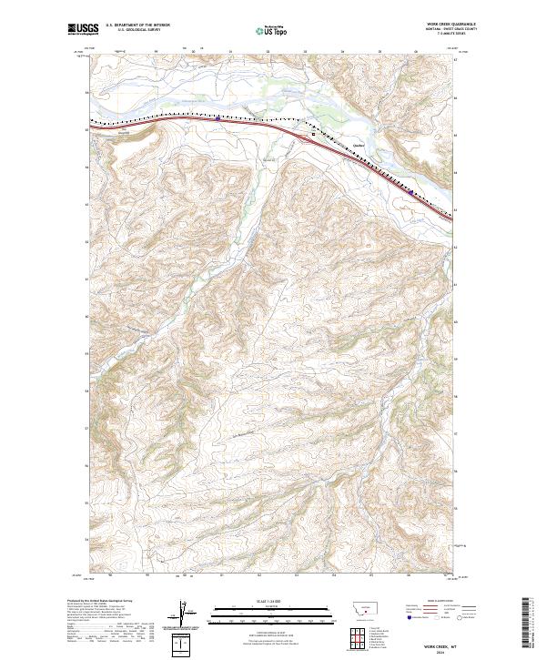
2024 Work Creek
Sweet Grass County, MT