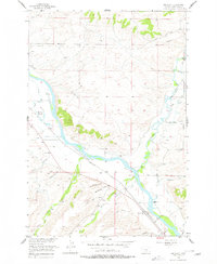
1955 Map of Greycliff
USGS Topo · Published 1978About this map
The Yellowstone River cuts a wide path through this Sweet Grass County landscape, serving as the primary corridor for regional travel and transport in the mid-1950s. The Northern Pacific railroad tracks hug the southern bank of the river, passing through the small community of Greycliff. This area is defined by a sophisticated system of water management for agriculture, including the Pioneer Ditch, Bailey Ditch, and the Fletcher Flume, which redirect water across the varied terrain of gulches and sloughs.
Find a feature on this map
31 named features on this map. Tap any name to fly to it.
Don’t see what you’re looking for? This feature index may not catch every label — zoom into the map to look around manually.
Map Details
Editions of this 1955 Greycliff Map
3 editions found
Other maps of this area

1891 · Big Timber
USGS Topo · 1:125,000

1893 · Big Timber
USGS Topo · 1:125,000

1954 · Big Timber
USGS Topo · 1:24,000
1954 · Ross Canyon
USGS Topo · 1:24,000
1954 · Otter Creek School
USGS Topo · 1:24,000
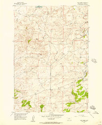
1954 · Ryan Creek
USGS Topo · 1:24,000

1954 · Billings
USGS Topo · 1:250,000

1955 · Packsaddle Butte
USGS Topo · 1:24,000

1955 · Greycliff
USGS Topo · 1:24,000
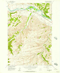
1956 · Work Creek
USGS Topo · 1:24,000