
1954 Map of Big Timber
USGS Topo · Published 1956About this map
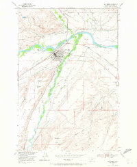
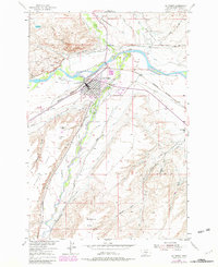
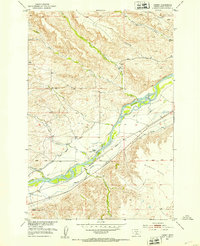
Big Timber serves as the central hub of this mid-century survey, positioned at the confluence where the Boulder River joins the Yellowstone River. The town's layout is intricately detailed, showing the Northern Pacific railroad corridor and local landmarks like the County Fairground and State Fish Hatchery. The landscape is defined by an extensive network of irrigation canals, such as the Pioneer Ditch and Huidekoper-Warp-Mc Comb Ditch, illustrating the complex water management required for agriculture on the surrounding Scophers Flats and Airport Flats. Notable rural infrastructure includes the Dry Creek Sch and Standard Sch, which anchored the outlying ranching communities during this era of Missouri River Basin development. The map also records early aviation and transport links, from the Big Timber Airport to the Old Boulder Bridge.
Find a feature on this map
47 named features on this map. Tap any name to fly to it.
Don’t see what you’re looking for? This feature index may not catch every label — zoom into the map to look around manually.
Map Details
Editions of this 1954 Big Timber Map
Other maps of this area

1891 · Livingston
USGS Topo · 1:250,000

1891 · Big Timber
USGS Topo · 1:125,000

1893 · Livingston
USGS Topo · 1:250,000

1893 · Big Timber
USGS Topo · 1:125,000

1947 · Bozeman
USGS Topo · 1:250,000

1948 · Bozeman
USGS Topo · 1:250,000
1951 · Grosfield Ranch
USGS Topo · 1:24,000
1951 · Mc Leod
USGS Topo · 1:24,000
1951 · Carney
USGS Topo · 1:24,000
1954 · Ross Canyon
USGS Topo · 1:24,000