2000s (21st Century) Maps of Sweet Grass County, Montana
Explore 266 historic maps of Sweet Grass County from the 2000s (21st Century). These maps offer a rare glimpse into what life looked like during the 2000s — showing old roads, neighborhoods, homes, and landmarks that have changed or disappeared over time.
Whether you're researching your family's past, planning a metal detecting trip, or studying how Sweet Grass County's landscape evolved across the 2000s, these high-resolution maps are a powerful tool for exploring the history of this region.
- Focus on a specific era: All maps on this page are from the 2000s, giving you a focused view of this time period.
- See what’s changed: Compare century-old streets, trails, and buildings to today's modern landscape using overlays and satellite layers.
- Research with precision: Use these maps for genealogy, historical research, land use analysis, or educational projects.
- View, download, or print: Maps are fully viewable online in high resolution, and can be downloaded or printed for your own records.
Start exploring Sweet Grass County's history through authentic maps from the 2000s. This is your window into the past.
Sweet Grass County, MT maps
(266)- 2000 Map of Ross Canyon, 2005 Print
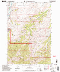 2000 Ross Canyon2005 Print · USGSSweet Grass County's rugged backcountry comes alive in this survey, showcasing the complex interface between the Gallatin National Forest and the Boulder River valley. Genealogists and historians can trace old mining sites like Calcite Mine or find historical river crossings at Eightmile Bridge.
 - 2000 Map of Picket Pin Mountain, 2005 Print
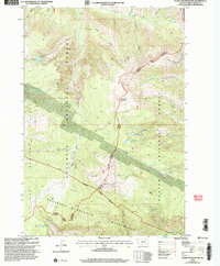 2000 Picket Pin Mountain2005 Print · USGSThe high Beartooth range at the turn of the millennium shows a landscape shaped by water and early mining. Trace old survey lines and exploration sites near Picket Pin Mountain, including an Adit, Prospects, and Moccasin Lake.
 - 2000 Map of Sliderock Mountain, 2005 Print
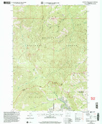 2000 Sliderock Mountain2005 Print · USGSThe mining camps and high trails of the Beartooth foothills are captured here at the turn of the millennium. Researchers can locate remote sites like Wepler Cabin, the historic Travois Trail, and numerous prospects including the Gold Hill Mine.
 - 2000 Map of Raspberry Butte, 2005 Print
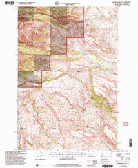 2000 Raspberry Butte2005 Print · USGSThe Crazy Mountains of Sweet Grass County are revealed in this 2000 revision, showing a high-country landscape of ranching and timber. Genealogists and historians can trace numerous family sites such as the Grosfield Homestead, Beley Homestead, and Dugout Ranch.
 - 2000 Map of Crazy Peak, 2005 Print
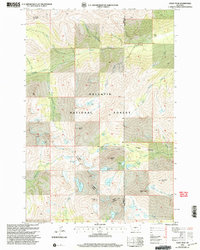 2000 Crazy Peak2005 Print · USGSThe Crazy Mountains at the turn of the millennium reveal a landscape of alpine glaciers and high peaks along the Park and Sweet Grass county line. Hikers and historians can trace routes near Grasshopper Glacier, Crazy Peak, and the waters of Roaring Hell Creek.
 - 2000 Map of Wildcat Draw, 2005 Print
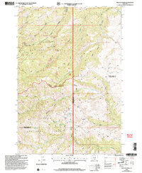 2000 Wildcat Draw2005 Print · USGSSweet Grass and Stillwater counties converge in these mountain forests at the turn of the millennium. Researchers can trace historic high-country sites like Yates Cabin, Hopkins Cow Cabin, and Carey among the deep canyons of Wildcat Draw and Sawmill Gulch.
 - 2000 Map of Mc Leod, 2005 Print
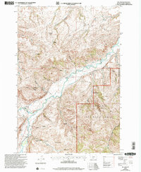 2000 Mc Leod2005 Print · USGSThe Boulder River valley at the turn of the millennium remains a landscape defined by its homesteading history and ranching roots. Genealogists and historians can trace family-named sites like the Howeth Homestead and Thurman Homestead, or locate the old Dutton School.
 - 2000 Map of Mc Leod Basin, 2005 Print
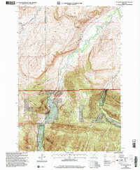 2000 Mc Leod Basin2005 Print · USGSSweet Grass County ranching and forest lands are captured here at the turn of the millennium. Researchers can trace historic local education at West Boulder School and McLeod Sch or locate the Old Kainuck Guest Ranch near the Natural Bridge and Falls.
 - 2000 Map of Rein Lake, 2005 Print
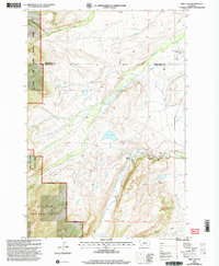 2000 Rein Lake2005 Print · USGSSweet Grass and Wheatland counties meet at this mountainous ranching frontier at the turn of the millennium. Researchers can trace historic family land use at American Fork Ranch and Anchor Ranch, or locate the Hopkins Cem.
 - 2000 Map of Packsaddle Butte, 2005 Print
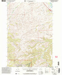 2000 Packsaddle Butte2005 Print · USGSSweet Grass County is documented here at the turn of the millennium, showing where the forest meets the plains. You can trace the rugged drainages of Upper Deer Creek and Greycliff Creek or locate landmarks like Packsaddle Butte.
 - 2000 Map of Amelong Creek, 2005 Print
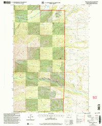 2000 Amelong Creek2005 Print · USGSSweet Grass County, Montana, at the turn of the millennium shows a wilderness of the Gallatin National Forest. Trace the deep cuts of Big Timber Canyon and locate landmarks like Upper Big Timber Falls and Black Butte.
 - 2000 Map of Fairview Peak, 2005 Print
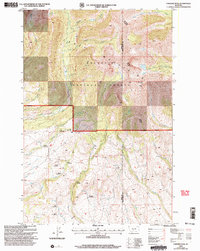 2000 Fairview Peak2005 Print · USGSThe high country of the Gallatin Mountains meets a dense network of early settlements at the turn of the millennium. Trace family roots and land use through the Bishir Sawmill, the Cole Ranch, and numerous family properties like the Gilbert Homestead.
 - 2000 Map of Mount Douglas, 2005 Print
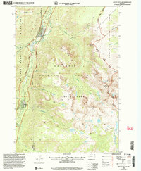 2000 Mount Douglas2005 Print · USGSThe Absaroka-Beartooth high country is documented here at the turn of the century, showing the remote peaks of the Montana wilderness. Researchers can trace alpine trails and isolated outposts like Christikon, Box Canyon Ranger Station, and the slopes of Mount Douglas.
 - 2000 Map of Haystack Peak, 2005 Print
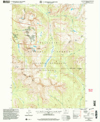 2000 Haystack Peak2005 Print · USGSThe Absaroka-Beartooth Wilderness appears at the turn of the millennium as a landscape defined by its mining heritage and high peaks. Genealogists and historians can locate the Independence (Site) and the Independence Mine among the heights of Haystack Peak.
 - 2000 Map of Chrome Mountain, 2005 Print
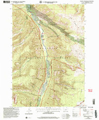 2000 Chrome Mountain2005 Print · USGSSweet Grass and Park counties are defined by the river corridor and high peaks in this 2000 survey. Trace the Boulder River through the Absaroka-Beartooth Wilderness to reach Camp-on-the-Boulder and Twomile Bridge.
 - 2000 Map of Enos Mountain, 2006 Print
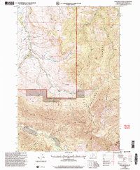 2000 Enos Mountain2006 Print · USGSSweet Grass County at the end of the twentieth century reveals a landscape of high peaks and historic land claims. Genealogists can locate named settler sites like the Farnsworth Homestead or the East Boulder Sch near the Boulder River.
 - 2011 Map of Otter Creek School, 2011 Print
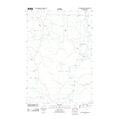 2011 Otter Creek School2011 Print · USGSSweet Grass County ranching life is well-documented in this early twenty-first-century survey. Genealogists and local historians can trace legacy holdings like the Mattice Homestead, Cosgriff Ranch, and Bjorndal Ranch along the banks of Otter Creek.
 - 2011 Map of Ryan Creek, 2011 Print
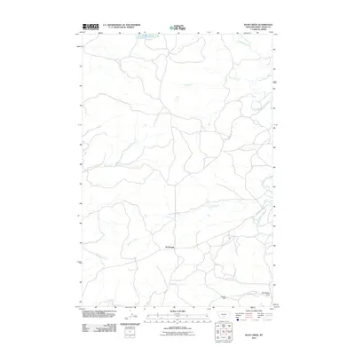 2011 Ryan Creek2011 Print · USGSSweet Grass County, Montana, is depicted in the early 2010s as a landscape of interconnected creek beds and rural roads. Genealogists and land researchers can trace the routes around Sourdough or follow the waters of Lower Glaston Lake and Sweet Grass Creek.
 - 2011 Map of Meyer Mountain, 2011 Print
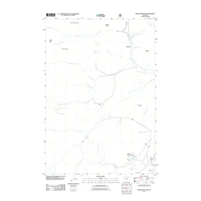 2011 Meyer Mountain2011 Print · USGSIn the foothills and high peaks of Stillwater County, this recent survey documents a landscape defined by high-altitude mining and ranching. Researchers can locate specific operations like the Mouat Mine and Mouat Mill or trace the drainage paths of Lodgepole Creek and Horseman Creek.
 - 2011 Map of Wildcat Draw, 2011 Print
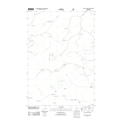 2011 Wildcat Draw2011 Print · USGSSweet Grass County's ranching landscape is captured here in the early twenty-first century, showing the intricate network of draws and creeks. Researchers can locate seasonal outposts like Yates Cabin, isolated water sources such as September Morn Spring, and landmarks like Derby Ridge.
 - 2011 Map of Sandborn Creek, 2011 Print
 2011 Sandborn Creek2011 Print · USGSSweet Grass County in the early twenty-first century reveals a complex network of ranching infrastructure along the Stillwater River. Researchers can trace nineteenth and twentieth-century water rights through irrigation features like the Larson-Johnson Ditch and Arthur Ditch.
 - 2011 Map of Cathedral Point, 2011 Print
 2011 Cathedral Point2011 Print · USGSThe Stillwater River valley in Sweet Grass County is shown here in the early twenty-first century at the gateway to the high peaks. Local historians and hikers can trace the geography around Beartooth Ranch, Woodbine Falls, and Dayton Cabin.
 - 2011 Map of Lone Indian Butte, 2011 Print
 2011 Lone Indian Butte2011 Print · USGSSweet Grass County's high plains are mapped in this modern survey, revealing a landscape defined by prominent natural heights and deep creek beds. Trace the drainage of Hangmans Creek and Deadmans Creek or locate the summit of Lone Indian Butte.
 - 2011 Map of Stephens Hill NE, 2011 Print
 2011 Stephens Hill NE2011 Print · USGSSweet Grass County is documented here in the early twenty-first century, showcasing its network of prairie drainages and rural routes. Trace the convergence of the Middle Fork Sweet Grass Creek and find landmarks like the Dry Yellow Grass Dam.
 - 2011 Map of Ross Canyon, 2011 Print
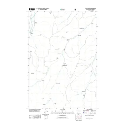 2011 Ross Canyon2011 Print · USGSSweet Grass County in the early twenty-first century remains a landscape of ranching tradition and mountain drainages. Genealogists and local historians can trace family-named landmarks like McKenzie Flats or search for legacy sites near Eightmile Bridge and Sawmill Gulch.
Showing maps 1-25 of 266
Top cities of Sweet Grass County
Frequently asked questions
- What are the different types of historical maps available for Sweet Grass County?
- What is the oldest map of Sweet Grass County?
- Where can I purchase historical maps of Sweet Grass County for my home or office?
- Where can I download high-res historical maps of Sweet Grass County?
- Are there historical topographic maps available for Sweet Grass County?
- Is there historical aerial imagery available for Sweet Grass County?
- Where are historical maps of Sweet Grass County sourced from?