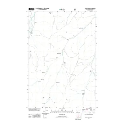
2011 Map of Ross Canyon
USGS Topo · Published 2011About this map
Boulder River and Upper Deer Creek define the drainage patterns of this Montana landscape in 2011. The terrain is marked by a high density of named gulches and canyons, reflecting a history of local land naming used by ranchers and outdoorsmen. Notable elevations include Red Mountain, Piano Hill, and Black Butte, while the McKenzie Flats provide a rare stretch of level ground above the river valleys. Human presence is sparse, centered on transit points like Eightmile Bridge and the winding path of Dry Creek Rd. The variety of water sources, from the steady Ross Spring to seasonal drainages like Dead Horse Gulch and Tomato Can Gulch, highlights the essential relationship between water access and land use in Sweet Grass County.
Find a feature on this map
39 named features on this map. Tap any name to fly to it.
Don’t see what you’re looking for? This feature index may not catch every label — zoom into the map to look around manually.
Map Details
Editions of this 2011 Ross Canyon Map
This is the sole edition of this map. No revisions or reprints were ever made.
Other maps of this area

1891 · Livingston
USGS Topo · 1:250,000

1891 · Big Timber
USGS Topo · 1:125,000

1893 · Livingston
USGS Topo · 1:250,000

1893 · Big Timber
USGS Topo · 1:125,000

1947 · Bozeman
USGS Topo · 1:250,000

1948 · Bozeman
USGS Topo · 1:250,000

1951 · Squaw Peak
USGS Topo · 1:24,000
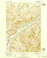
1951 · Mc Leod
USGS Topo · 1:24,000
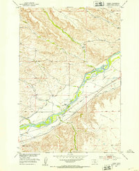
1951 · Carney
USGS Topo · 1:24,000

1954 · Big Timber
USGS Topo · 1:24,000