2020s Maps of Box Butte County, Nebraska
Explore 29 historic maps of Box Butte County from the 2020s. These maps offer a rare glimpse into what life looked like during the 2020s — showing old roads, neighborhoods, homes, and landmarks that have changed or disappeared over time.
Whether you're researching your family's past, planning a metal detecting trip, or studying how Box Butte County's landscape evolved across the 2020s, these high-resolution maps are a powerful tool for exploring the history of this region.
- Focus on a specific era: All maps on this page are from the 2020s, giving you a focused view of this time period.
- See what’s changed: Compare century-old streets, trails, and buildings to today's modern landscape using overlays and satellite layers.
- Research with precision: Use these maps for genealogy, historical research, land use analysis, or educational projects.
- View, download, or print: Maps are fully viewable online in high resolution, and can be downloaded or printed for your own records.
Start exploring Box Butte County's history through authentic maps from the 2020s. This is your window into the past.
Box Butte County, NE maps
(29)- 2021 Map of Krause Lake West, 2021 Print
 2021 Krause Lake West2021 Print · USGSRanching country along the Box Butte and Sheridan County line is captured here in the early 2020s. Researchers can locate remote high plains water sources like Peterson Lake and follow old tracks like Jefferson Rd.
 - 2021 Map of Skunk Lake SW, 2021 Print
 2021 Skunk Lake SW2021 Print · USGSSheridan and Box Butte counties are shown here in the early twenty-first century, highlighting the sparse, cattle-country terrain of the western Nebraska Sandhills. Researchers can trace the path of Box Butte Creek and the many numbered routes like 438th Trl and State Spur 7A that connect this ranching landscape.
 - 2021 Map of Berea Creek East, 2021 Print
 2021 Berea Creek East2021 Print · USGSThe rural expanse north of Alliance is captured here during the early twenty-first century, showing the intersection of deep-rooted agriculture and prairie hydrology. Researchers can locate family landmarks like Fairview Cem and trace the paths of Box Butte Creek and Hemingford Cr.
 - 2021 Map of Skunk Lake NW, 2021 Print
 2021 Skunk Lake NW2021 Print · USGSSheridan County's ranchlands and river valleys are captured here in the early 2020s, showing a landscape shaped by water and tradition. Genealogists and local historians can locate Saint Peters Cem and trace the complex irrigation network of the Sturgeon Lateral and Niobrara River.
 - 2021 Map of Box Butte SW, 2021 Print
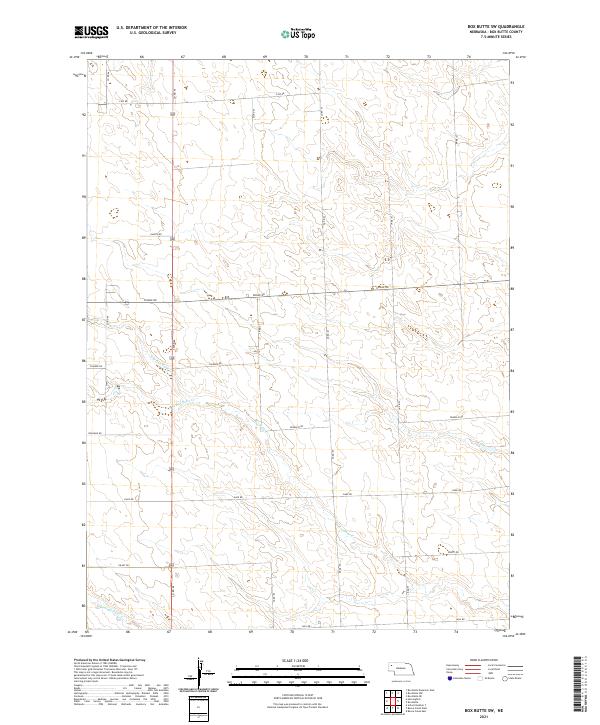 2021 Box Butte SW2021 Print · USGSBox Butte County is revealed as a vast landscape of agricultural grids and prairie drainage at the start of the 2020s. Trace local watercourses like Box Butte Cr and Hemingford Cr or navigate the rural road network including Dakota Rd and Filmore Rd.
 - 2021 Map of Box Butte NW, 2021 Print
 2021 Box Butte NW2021 Print · USGSThe high plains of Dawes and Box Butte counties are captured here in the early twenty-first century as the landscape remains defined by the river and irrigation. Researchers can trace rural landmarks like Katen Cem and the route of the Mirage Flats Canal along the Niobrara River.
 - 2021 Map of Jesse Lake, 2021 Print
 2021 Jesse Lake2021 Print · USGSSheridan County ranching country is documented here in the early twenty-first century, showing the isolated settlement of Hoffland. Researchers can trace the unique hydrology of the Sandhills through named water bodies like Jesse Lake, O'Neil Lake, and Snake Cr.
 - 2021 Map of Berea Creek West, 2021 Print
 2021 Berea Creek West2021 Print · USGSBox Butte County is shown in this recent survey, centered on the corridor between the small community of Berea and the city of Alliance. Local researchers can trace rural property boundaries and water drainage along Berea Cr and Hemingford Cr.
 - 2021 Map of Marsland SE, 2021 Print
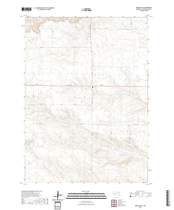 2021 Marsland SE2021 Print · USGSBox Butte County remains a territory of vast high plains ranching and intricate creek systems in the early twenty-first century. Genealogists and local historians can trace family ties at Lawn Cem or follow the waters of Point of Rocks Cr and Sand Canyon Cr.
 - 2021 Map of Kilpatrick Lake NE, 2021 Print
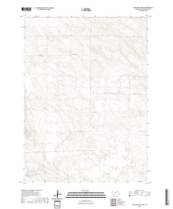 2021 Kilpatrick Lake NE2021 Print · USGSBox Butte County, Nebraska, is shown here in the early 2020s, dominated by wide-open plains and precise section-line boundaries. Researchers can trace the path of the Snake Cr and find localized landmarks like the Cook NW Reservoir and S Br Point of Rocks Cr.
 - 2021 Map of Barrel Springs Creek South, 2021 Print
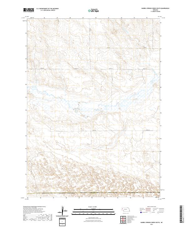 2021 Barrel Springs Creek South2021 Print · USGSWestern Nebraska's Box Butte County is shown here in the early twenty-first century as a land of expansive wetlands and section-line roads. Genealogists and researchers can trace local land divisions and seasonal water features like Cook SE Reservoir, Snake Cr, and Otoe Rd.
 - 2021 Map of Kilpatrick Lake NW, 2021 Print
 2021 Kilpatrick Lake NW2021 Print · USGSNorthwestern Box Butte County comes into focus in this recent survey of Nebraska's high plains drainage. Trace the winding paths of the N Br Snake Cr and Mud Springs Cr as they cut through the section-line roads like Ore Rd and Henderson.
 - 2021 Map of School Number 7, 2021 Print
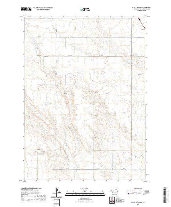 2021 School Number 72021 Print · USGSBox Butte County is revealed in the early 2020s as a landscape of structured ranching and complex Nebraska panhandle drainages. Genealogists and researchers can locate School Number 7 and trace the reaches of Point of Rocks Cr and Frost Reservoir.
 - 2021 Map of Hemingford, 2021 Print
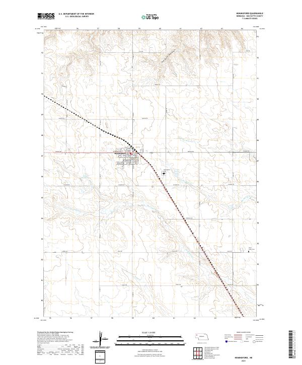 2021 Hemingford2021 Print · USGSHemingford and its surrounding Box Butte County farmsteads are documented here in the early twenty-first century as the village grid expands. Researchers can locate family sites near Hemingford Cem or trace the winding course of Hemingford Cr and Berea Cr.
 - 2021 Map of Barrel Springs Creek North, 2021 Print
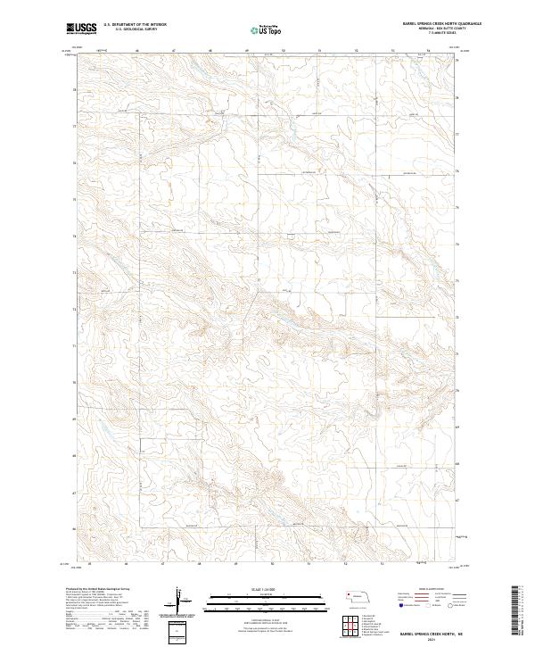 2021 Barrel Springs Creek North2021 Print · USGSBox Butte County in the early twenty-first century remains defined by its rhythmic section-line roads and seasonal watercourses. Researchers can trace land ownership patterns and drainage along Barrel Springs Cr, Keith Rd, and CO RD 76.
 - 2021 Map of Box Butte Reservoir West, 2021 Print
 2021 Box Butte Reservoir West2021 Print · USGSThe Nebraska panhandle's agricultural and riverine landscape is captured here during the early twenty-first century. Researchers can trace the western banks of Box Butte Reservoir and the rural course of the Niobrara River near Hollibaugh Rd.
 - 2021 Map of Marsland, 2021 Print
 2021 Marsland2021 Print · USGSCovers Box Butte County, including Marsland, Dawes County, and other nearby areas
 - 2021 Map of Marsland SW, 2021 Print
 2021 Marsland SW2021 Print · USGSThe Nebraska panhandle at the Sioux and Box Butte county line is captured in this recent survey of rural prairie. Genealogists and historians can trace local family roots through the Bohemian Pioneer Cem and a grid of rural roads like Carlson Rd and Dodge Rd.
 - 2021 Map of Marsland NW, 2021 Print
 2021 Marsland NW2021 Print · USGSDawes County cattle country and the high plains of western Nebraska appear here in the early twenty-first century. Researchers can trace land ownership patterns and local landmarks like Pine Ridge, Morava Rd, and the meandering Niobrara River.
 - 2021 Map of Hagaman Cemetery, 2021 Print
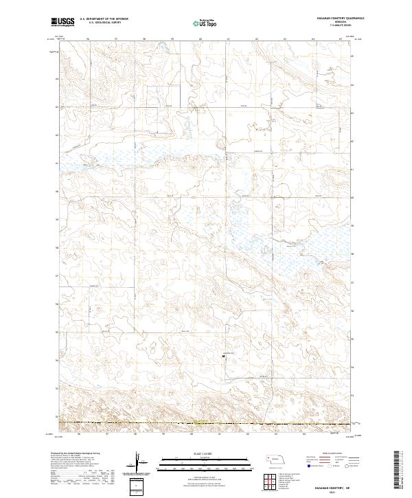 2021 Hagaman Cemetery2021 Print · USGSWestern Nebraska's rural ranchland is captured here in the early twenty-first century, spanning the border of Box Butte and Morrill Counties. Genealogists and local historians can locate Hagaman Cem and trace the drainage patterns of Snake Cr and Point of Rocks Cr.
 - 2021 Map of Nonpareil, 2021 Print
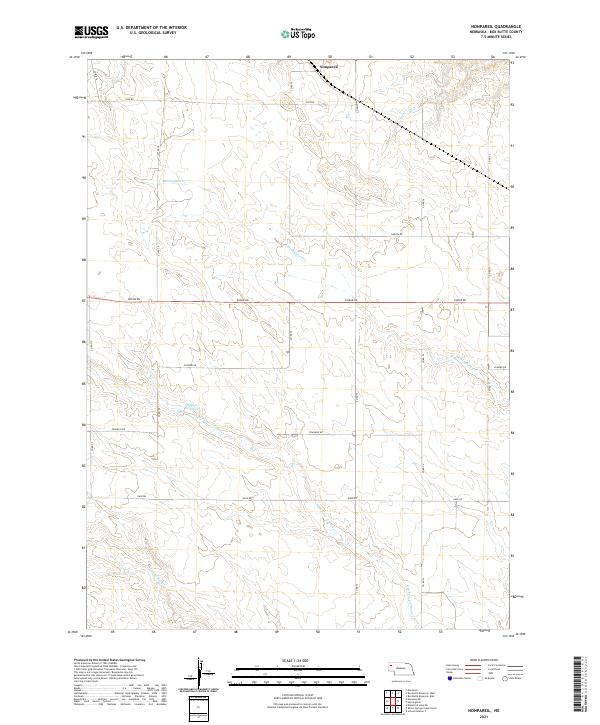 2021 Nonpareil2021 Print · USGSBox Butte County at the start of the 2020s shows a landscape of precision-grid roads and high-plains ranching. Researchers can trace the section-line layout around Nonpareil and locate water resources like Phillips Reservoir and Hemingford Cr.
 - 2021 Map of Box Butte Reservoir East, 2021 Print
 2021 Box Butte Reservoir East2021 Print · USGSThe Nebraska Panhandle's rural landscape comes into focus in this recent study of the Dawes and Box Butte county line. Trace the path of the Niobrara River through the Box Butte Reservoir and locate legacy sites along Cottonwood School Rd.
 - 2021 Map of Box Butte NE, 2021 Print
 2021 Box Butte NE2021 Print · USGSThe High Plains of western Nebraska meet where Dawes, Sheridan, and Box Butte counties converge in the early twenty-first century. Researchers can trace the essential water routes of the Niobrara River and Mirage Flats Canal across this rural landscape.
 - 2021 Map of Box Butte, 2021 Print
 2021 Box Butte2021 Print · USGSThe high plains of western Nebraska are captured here in the early twenty-first century, showing a landscape defined by ranching and section-line roads. Researchers can trace the drainage of Box Butte Creek and locate landmarks like Wild Horse Butte and Box Butte.
 - 2021 Map of Alliance East, 2021 Print
 2021 Alliance East2021 Print · USGSAlliance and the surrounding high plains of Box Butte County are shown here in the early 2020s. Genealogists and local historians can locate the Nebraska Veterans Cem at Alliance, the Box Butte County Courthouse, and the campus of Western Nebraska Community College.
Showing maps 1-25 of 29
Top cities of Box Butte County
Frequently asked questions
- What are the different types of historical maps available for Box Butte County?
- What is the oldest map of Box Butte County?
- Where can I purchase historical maps of Box Butte County for my home or office?
- Where can I download high-res historical maps of Box Butte County?
- Are there historical topographic maps available for Box Butte County?
- Is there historical aerial imagery available for Box Butte County?
- Where are historical maps of Box Butte County sourced from?