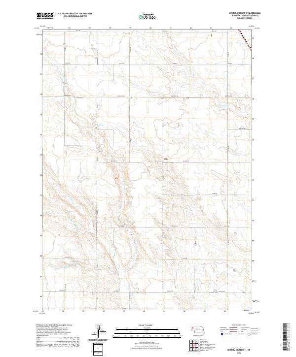
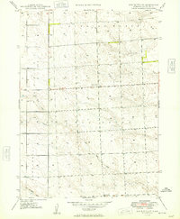
2021 Map of School Number 7
USGS Topo · Published 2021About this map
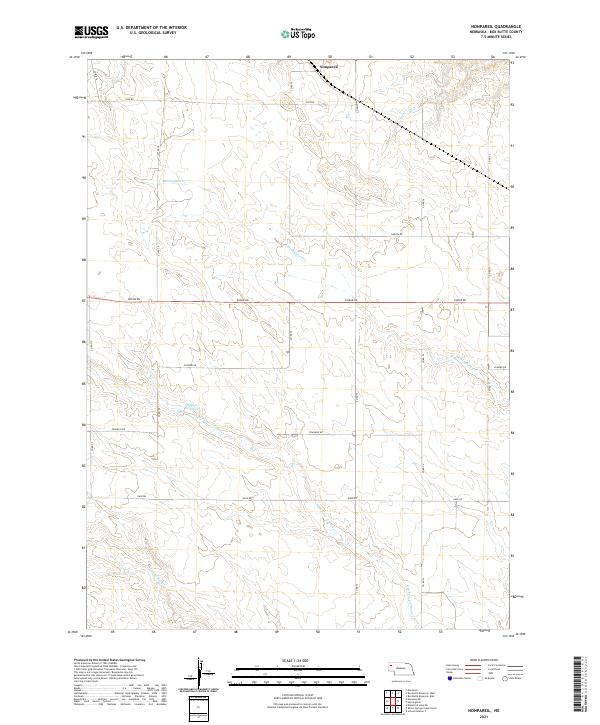
School Number 7 stands as a primary landmark in this rural section of Box Butte County, where the landscape is defined by a grid of agricultural section lines and an intricate drainage system. The terrain is marked by the winding paths of Point of Rocks Cr and its northern and southern branches, alongside Berea Cr in the northeast. These watercourses have carved subtle variations into the plains, creating a network of draws and intermittent streams typical of the Nebraska panhandle.
Find a feature on this map
26 named features on this map. Tap any name to fly to it.
Don’t see what you’re looking for? This feature index may not catch every label — zoom into the map to look around manually.
Map Details
Editions of this 2021 School Number 7 Map
This is the sole edition of this map. No revisions or reprints were ever made.
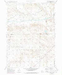
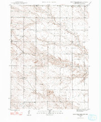
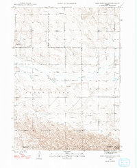
Historical Maps of Box Butte County Through Time
41 maps found

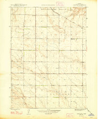
1946 Berea Creek East
Box Butte County, NE

1946 Nonpareil
Box Butte County, NE

1947 Alliance East
Box Butte County, NE

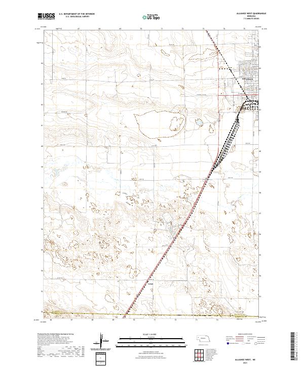
1947 Alliance West
Box Butte County, NE

1947 Box Butte
Box Butte County, NE
1947 Box Butte NE
Box Butte County, NE
1948 Barrel Springs Creek North
Box Butte County, NE
1948 Barrel Springs Creek South
Box Butte County, NE

1948 Berea Creek East
Box Butte County, NE

1948 Berea Creek West
Box Butte County, NE

1948 Hagaman Cemetery
Box Butte County, NE
1948 Nonpareil
Box Butte County, NE
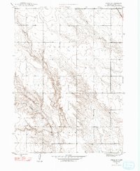
1948 School No. 7
Box Butte County, NE

1949 Box Butte
Box Butte County, NE

1949 Box Butte NE
Box Butte County, NE
1949 Box Butte SW
Box Butte County, NE

1949 Bronco Lake
Box Butte County, NE

1951 Kilpatrick Lake
Box Butte County, NE

1951 Marsland
Box Butte County, NE

1983 Kilpatrick Lake
Box Butte County, NE

1983 Kilpatrick Lake NE
Box Butte County, NE

1983 Kilpatrick Lake NW
Box Butte County, NE

1983 Marsland SE
Box Butte County, NE

1983 Marsland SW
Box Butte County, NE

2021 Alliance East
Box Butte County, NE
2021 Alliance West
Box Butte County, NE
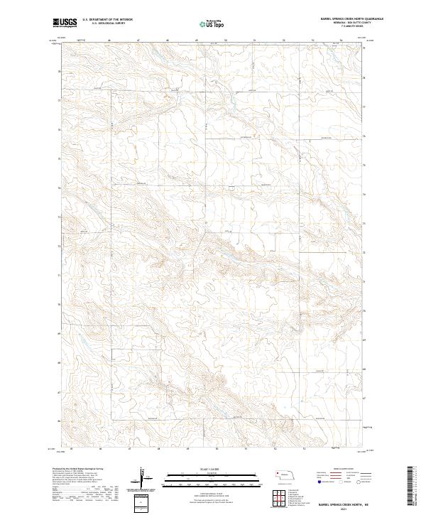
2021 Barrel Springs Creek North
Box Butte County, NE
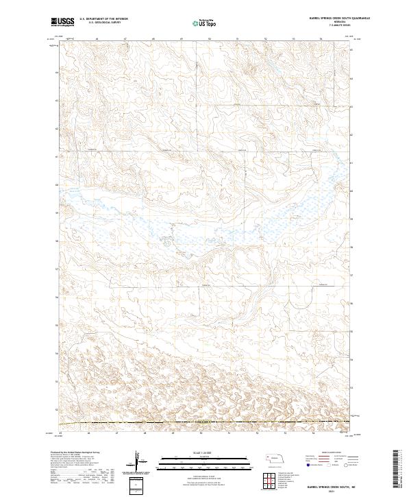
2021 Barrel Springs Creek South
Box Butte County, NE

2021 Berea Creek East
Box Butte County, NE

2021 Berea Creek West
Box Butte County, NE
2021 Box Butte
Box Butte County, NE

2021 Box Butte NE
Box Butte County, NE
2021 Box Butte SW
Box Butte County, NE
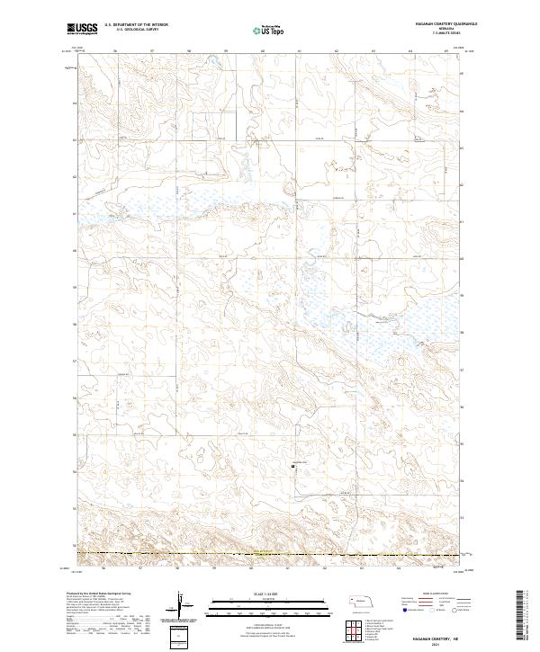
2021 Hagaman Cemetery
Box Butte County, NE
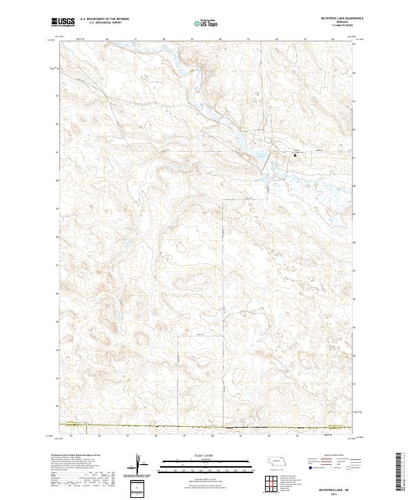
2021 Kilpatrick Lake
Box Butte County, NE
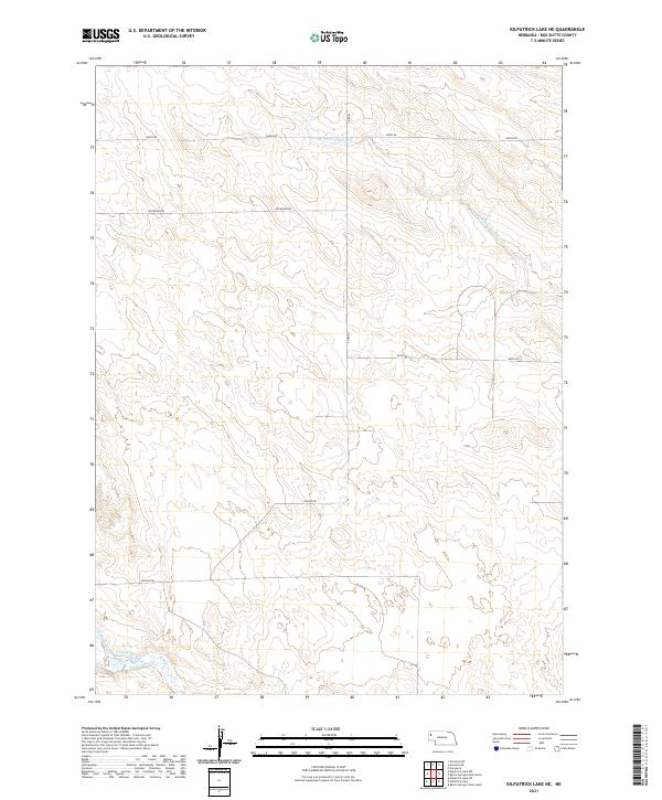
2021 Kilpatrick Lake NE
Box Butte County, NE

2021 Kilpatrick Lake NW
Box Butte County, NE
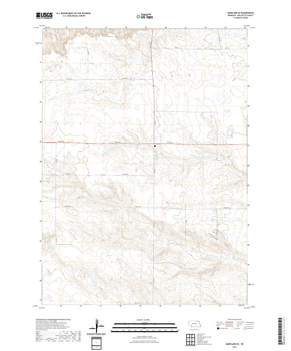
2021 Marsland SE
Box Butte County, NE

2021 Marsland SW
Box Butte County, NE
2021 Nonpareil
Box Butte County, NE
2021 School Number 7
Box Butte County, NE