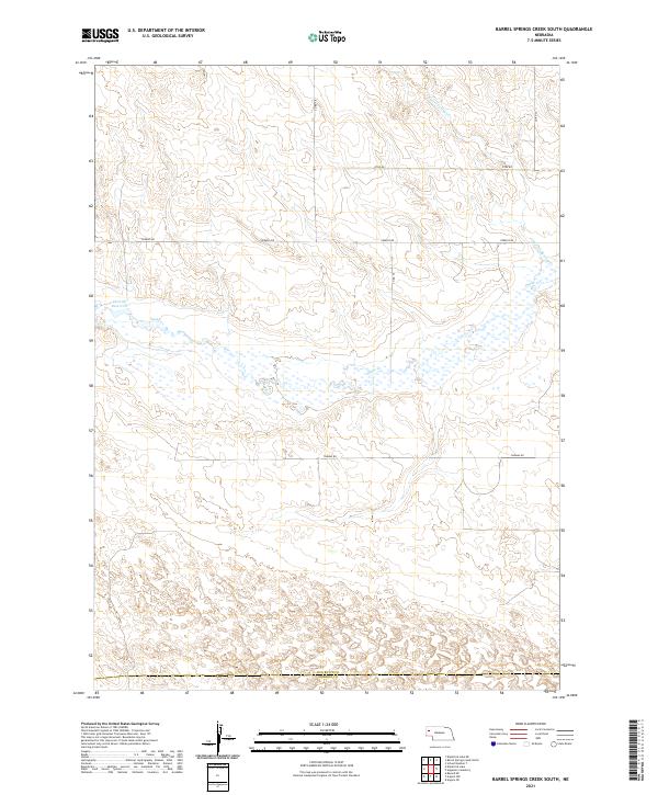
2021 Map of Barrel Springs Creek South
USGS Topo · Published 2021About this map
The High Plains landscape of western Nebraska is defined here by the seasonal drainage patterns of Snake Cr and Barrel Springs Creek. This 2021 survey illustrates a sparsely populated section of the Panhandle where the border of Box Butte County and Morrill County intersects a grid of gravel section roads. The most prominent water feature is the Cook SE Reservoir, which sits amidst a sprawling network of wetlands and intermittent streams that dominate the central portion of the map. Tracing these watercourses reveals the natural hydrology of the region, while a strictly rectangular road network including Perkins Rd and Thomas Rd outlines the organized land divisions typical of Nebraska's agricultural interior. The presence of multiple township boundaries, such as t25n r51w and t24n r50w, provides a clear framework for researchers examining land records in this corner of the state.
Find a feature on this map
16 named features on this map. Tap any name to fly to it.
Don’t see what you’re looking for? This feature index may not catch every label — zoom into the map to look around manually.
Map Details
Editions of this 2021 Barrel Springs Creek South Map
This is the sole edition of this map. No revisions or reprints were ever made.
Other maps of this area

1898 · Camp Clarke
USGS Topo · 1:125,000

1948 · Hemingford 4 SW
USGS Topo · 1:24,000

1948 · Hemingford 4 SE
USGS Topo · 1:24,000

1948 · Hemingford 4 NE
USGS Topo · 1:24,000

1948 · Hemingford 4 NW
USGS Topo · 1:24,000

1951 · Kilpatrick Lake
USGS Topo · 1:62,500

1954 · Scottsbluff
USGS Topo · 1:250,000

1955 · Alliance
USGS Topo · 1:250,000

1957 · Alliance
USGS Topo · 1:250,000

1958 · Alliance
USGS Topo · 1:250,000