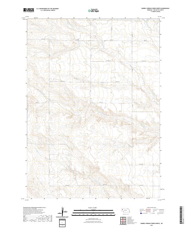
2021 Map of Barrel Springs Creek North
USGS Topo · Published 2021About this map
Barrel Springs Cr winds through the southwestern corner of this Nebraska landscape, defining a drainage system that eventually gives way to the broader basin of the Point of Rocks Cr to the north and east. The topography is characterized by a series of north-south running county roads, such as Co RD 78 and Co RD 74, which intersect an east-west grid of local thoroughfares including Hall Rd and Madison Rd. These administrative and transport lines overlay a terrain carved by intermittent watercourses like the N Br Point of Rocks Cr and the S Br Point of Rocks Cr. The lack of dense town centers reflects the rural character of Box Butte County, where the land is primarily organized by the Public Land Survey System, as evidenced by the township and range markers for t26n r51w and t25n r50w.
Find a feature on this map
20 named features on this map. Tap any name to fly to it.
Don’t see what you’re looking for? This feature index may not catch every label — zoom into the map to look around manually.
Map Details
Editions of this 2021 Barrel Springs Creek North Map
This is the sole edition of this map. No revisions or reprints were ever made.
Other maps of this area

1946 · Nonpareil
USGS Topo · 1:24,000

1948 · Hemingford
USGS Topo · 1:24,000

1948 · Hemingford 4 SW
USGS Topo · 1:24,000

1948 · Hemingford 4 SE
USGS Topo · 1:24,000

1948 · Hemingford 4 NE
USGS Topo · 1:24,000

1948 · Hemingford 4 NW
USGS Topo · 1:24,000

1948 · Nonpareil
USGS Topo · 1:24,000

1951 · Marsland
USGS Topo · 1:62,500

1951 · Kilpatrick Lake
USGS Topo · 1:62,500

1955 · Alliance
USGS Topo · 1:250,000