
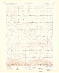
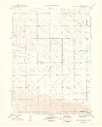
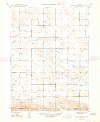
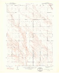
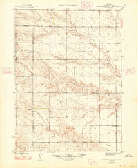
1948 Map of Hagaman Cemetery
USGS Topo · Published 1993About this map
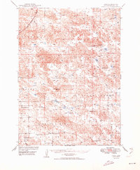
The High Plains of western Nebraska are defined by wind-driven prairie and intermittent drainages like Snake Creek, which carves a shallow path through the northern half of this landscape. The terrain is largely characterized by cattle ranching and dryland farming, as evidenced by the high concentration of Windmill sites that provide essential water access across the grassy sections of Wright. The layout of the land is structured by a grid of section lines, reflecting the Homestead Act's enduring influence on the local geography and the slow-paced development of the Nebraska Panhandle during the late 1940s.
Find a feature on this map
8 named features on this map. Tap any name to fly to it.
Don’t see what you’re looking for? This feature index may not catch every label — zoom into the map to look around manually.
Map Details
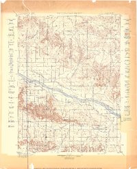
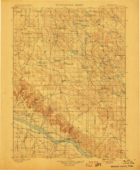
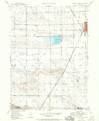
Editions of this 1948 Hagaman Cemetery Map
3 editions found
Other maps of this area

1896 · Browns Creek
USGS Topo · 1:125,000
1898 · Camp Clarke
USGS Topo · 1:125,000
1899 · Browns Creek
USGS Topo · 1:125,000
1947 · Bronco Lake
USGS Topo · 1:24,000
1948 · Hemingford 4 SW
USGS Topo · 1:24,000
1948 · Hemingford 4 SE
USGS Topo · 1:24,000

1948 · Berea Creek West
USGS Topo · 1:24,000
1948 · Hemingford 4 NE
USGS Topo · 1:24,000
1948 · Hemingford 4 NW
USGS Topo · 1:24,000
1949 · Lynn
USGS Topo · 1:62,500