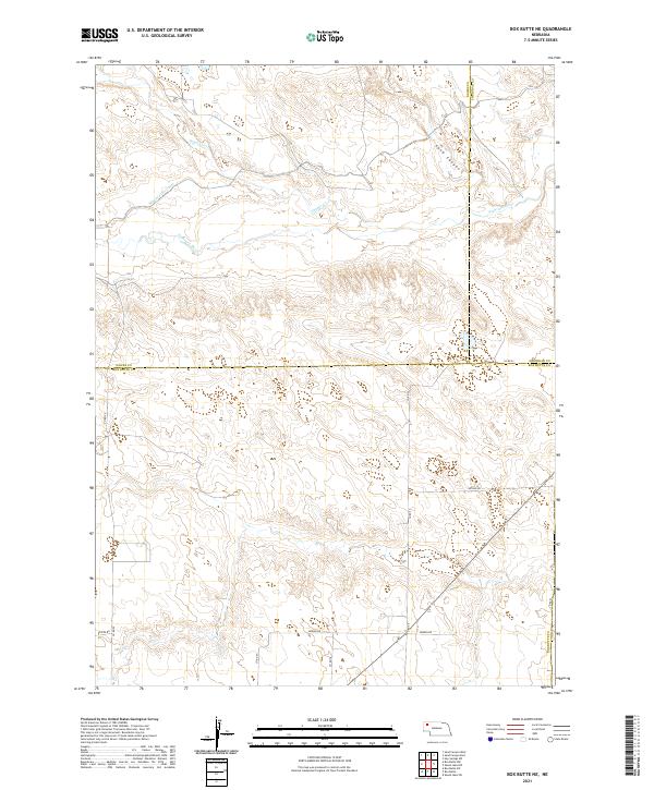
2021 Map of Box Butte NE
USGS Topo · Published 2021About this map
The Niobrara River winds across this section of the Nebraska High Plains, where the border of Dawes, Sheridan, and Box Butte counties meet. This landscape is defined by the critical management of water in an arid environment, evidenced by the Mirage Flats Canal and the drainage patterns of Pepper Creek. The terrain transitions from the river valley into the more dissected topography of Sand Canyon to the northeast. While the area is primarily rural, the grid of section lines is marked by local transit routes such as Arthur Rd and Brown Rd, which provide access to the agricultural lands and scattered ranch sites that characterize this remote corner of the state.
Find a feature on this map
18 named features on this map. Tap any name to fly to it.
Don’t see what you’re looking for? This feature index may not catch every label — zoom into the map to look around manually.
Map Details
Editions of this 2021 Box Butte NE Map
This is the sole edition of this map. No revisions or reprints were ever made.
Other maps of this area

1947 · Box Butte NE
USGS Topo · 1:24,000

1947 · Box Butte
USGS Topo · 1:24,000

1947 · Box Butte NW
USGS Topo · 1:24,000

1949 · Box Butte NE
USGS Topo · 1:24,000

1949 · Box Butte SW
USGS Topo · 1:24,000

1949 · Box Butte
USGS Topo · 1:24,000

1949 · Box Butte NW
USGS Topo · 1:24,000

1950 · Skunk Lake
USGS Topo · 1:62,500

1955 · Alliance
USGS Topo · 1:250,000

1957 · Alliance
USGS Topo · 1:250,000