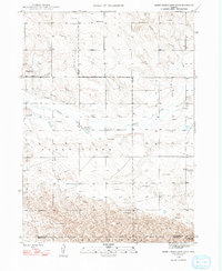
1948 Map of Barrel Springs Creek South
USGS Topo · Published 1993About this map
Snake Creek meanders across this High Plains landscape, characterizing a region defined by its sparse water sources and essential ranching infrastructure. Surveyed in the late 1940s, the terrain is dotted with numerous windmills, a critical component for cattle operations in the arid sandhills of western Nebraska. The map reveals the layout of rural education during this era, showing School No 22, School No 28, and School No 36 positioned to serve isolated homesteads. Near the southern border, the broken topography of Goodstreak contrasts with the flatter plains to the north. Evidence of early water management attempts appears in the form of an Abandoned Canal north of the creek, illustrating the challenges of irrigation in this environment. The map also delineates the jurisdictional boundary between Box Butte County and Morrill County, grounding the survey in its local political context.
Find a feature on this map
11 named features on this map. Tap any name to fly to it.
Don’t see what you’re looking for? This feature index may not catch every label — zoom into the map to look around manually.
Map Details
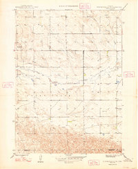
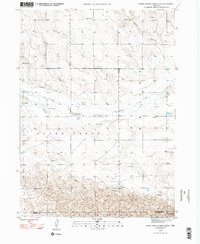
Editions of this 1948 Barrel Springs Creek South Map
4 editions found
Other maps of this area

1898 · Camp Clarke
USGS Topo · 1:125,000

1948 · Hemingford 4 SW
USGS Topo · 1:24,000

1948 · Hemingford 4 SE
USGS Topo · 1:24,000

1948 · Hemingford 4 NE
USGS Topo · 1:24,000

1948 · Hemingford 4 NW
USGS Topo · 1:24,000

1951 · Kilpatrick Lake
USGS Topo · 1:62,500

1954 · Scottsbluff
USGS Topo · 1:250,000

1955 · Alliance
USGS Topo · 1:250,000

1957 · Alliance
USGS Topo · 1:250,000

1958 · Alliance
USGS Topo · 1:250,000