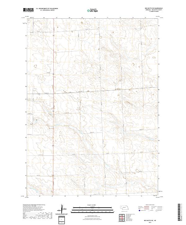
2021 Map of Box Butte SW
USGS Topo · Published 2021About this map
Box Butte Cr and its tributaries define the hydrology of this western Nebraska landscape, where the high plains terrain is partitioned by a precise grid of rural section roads. The convergence of the N Br Box Butte Cr and S Br Box Butte Cr creates a subtle drainage pattern across the central plains, leading toward the primary channel of Box Butte Cr. To the south, Hemingford Cr cuts across the lower corner of the quadrangle, suggesting the proximity of local agricultural hubs.
Find a feature on this map
18 named features on this map. Tap any name to fly to it.
Don’t see what you’re looking for? This feature index may not catch every label — zoom into the map to look around manually.
Map Details
Editions of this 2021 Box Butte SW Map
This is the sole edition of this map. No revisions or reprints were ever made.
Other maps of this area

1946 · Berea Creek East
USGS Topo · 1:24,000

1947 · Box Butte NE
USGS Topo · 1:24,000

1947 · Box Butte
USGS Topo · 1:24,000

1947 · Box Butte NW
USGS Topo · 1:24,000

1948 · Hemingford
USGS Topo · 1:24,000

1948 · Berea Creek West
USGS Topo · 1:24,000

1948 · Berea Creek East
USGS Topo · 1:24,000

1948 · Hemingford 4 NE
USGS Topo · 1:24,000

1948 · Box Butte Reservoir East
USGS Topo · 1:24,000

1949 · Box Butte NE
USGS Topo · 1:24,000