
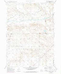
2021 Map of Alliance East
USGS Topo · Published 2021About this map
The city of Alliance serves as the focal point of this Panhandle landscape, where the street grid of the eastern townsite meets the expansive agricultural and aviation infrastructure of Box Butte County. The civic core is anchored by the Box Butte County Courthouse, while educational and memorial sites like the Western Nebraska Community College (Alliance Campus) and the Nebraska Veterans Cem at Alliance define the community's modern footprint. To the east, the residential development of Rainbow Acres sits near a series of managed water bodies including Sewer Lake Number 1 and Sewer Lake Number 2. The surrounding terrain is primarily characterized by the drainage of Snake Cr, which meanders through the township lines of t24n r48w and t24n r47w. The massive Alliance Municipal Airport dominates the central portion of the map, illustrating the area's importance as a regional transportation hub.
Find a feature on this map
56 named features on this map. Tap any name to fly to it.
Don’t see what you’re looking for? This feature index may not catch every label — zoom into the map to look around manually.
Map Details
Editions of this 2021 Alliance East Map
This is the sole edition of this map. No revisions or reprints were ever made.
Historical Maps of Box Butte County Through Time
41 maps found

1946 Berea Creek East
Box Butte County, NE

1946 Nonpareil
Box Butte County, NE

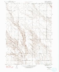
1947 Alliance East
Box Butte County, NE

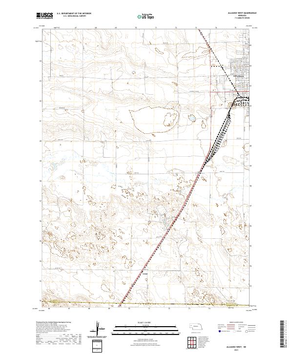
1947 Alliance West
Box Butte County, NE

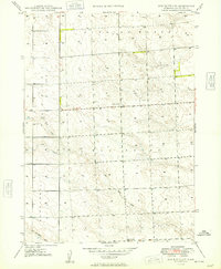
1947 Box Butte
Box Butte County, NE
1947 Box Butte NE
Box Butte County, NE
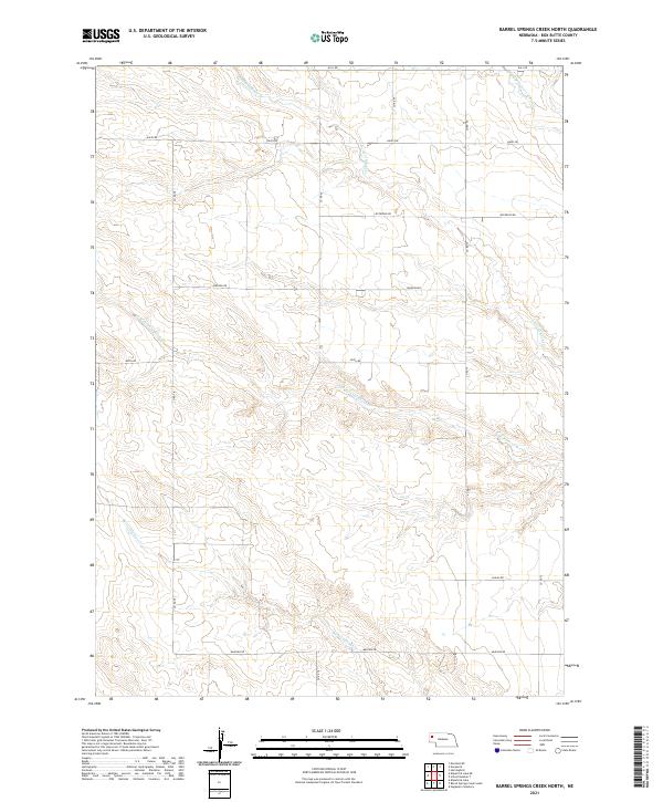
1948 Barrel Springs Creek North
Box Butte County, NE
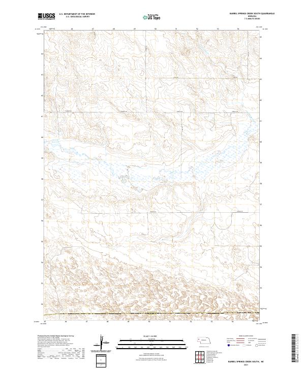
1948 Barrel Springs Creek South
Box Butte County, NE

1948 Berea Creek East
Box Butte County, NE

1948 Berea Creek West
Box Butte County, NE

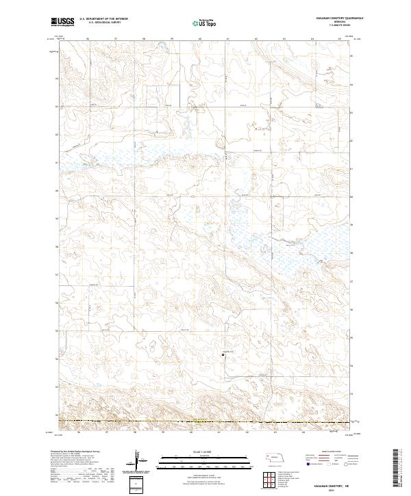
1948 Hagaman Cemetery
Box Butte County, NE
1948 Nonpareil
Box Butte County, NE
1948 School No. 7
Box Butte County, NE

1949 Box Butte
Box Butte County, NE

1949 Box Butte NE
Box Butte County, NE
1949 Box Butte SW
Box Butte County, NE

1949 Bronco Lake
Box Butte County, NE

1951 Kilpatrick Lake
Box Butte County, NE

1951 Marsland
Box Butte County, NE

1983 Kilpatrick Lake
Box Butte County, NE

1983 Kilpatrick Lake NE
Box Butte County, NE

1983 Kilpatrick Lake NW
Box Butte County, NE

1983 Marsland SE
Box Butte County, NE

1983 Marsland SW
Box Butte County, NE
2021 Alliance East
Box Butte County, NE
2021 Alliance West
Box Butte County, NE
2021 Barrel Springs Creek North
Box Butte County, NE
2021 Barrel Springs Creek South
Box Butte County, NE

2021 Berea Creek East
Box Butte County, NE

2021 Berea Creek West
Box Butte County, NE
2021 Box Butte
Box Butte County, NE

2021 Box Butte NE
Box Butte County, NE
2021 Box Butte SW
Box Butte County, NE
2021 Hagaman Cemetery
Box Butte County, NE
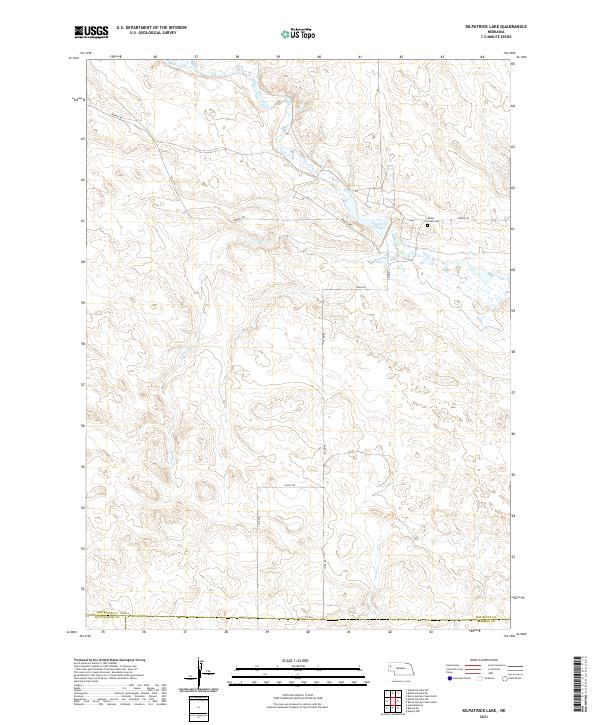
2021 Kilpatrick Lake
Box Butte County, NE
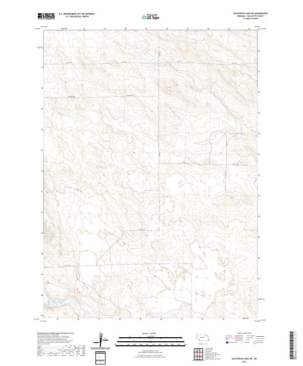
2021 Kilpatrick Lake NE
Box Butte County, NE

2021 Kilpatrick Lake NW
Box Butte County, NE
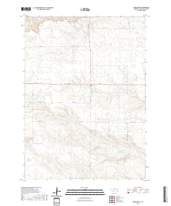
2021 Marsland SE
Box Butte County, NE

2021 Marsland SW
Box Butte County, NE
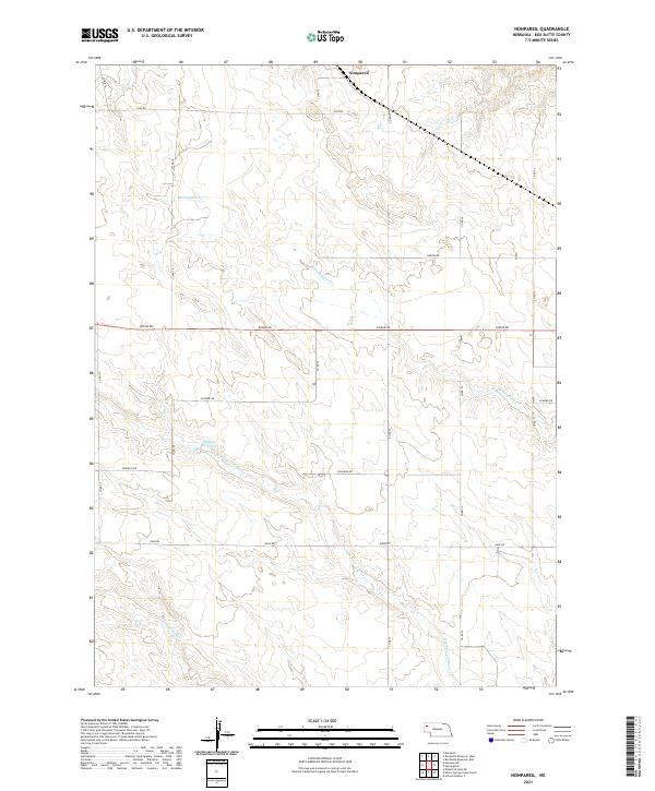
2021 Nonpareil
Box Butte County, NE
2021 School Number 7
Box Butte County, NE