2000s (21st Century) Maps of Glenvil, Nebraska
Explore 16 historic maps of Glenvil from the 2000s (21st Century). These maps offer a rare glimpse into what life looked like during the 2000s — showing old roads, neighborhoods, homes, and landmarks that have changed or disappeared over time.
Whether you're researching your family's past, planning a metal detecting trip, or studying how Glenvil's landscape evolved across the 2000s, these high-resolution maps are a powerful tool for exploring the history of this region.
- Focus on a specific era: All maps on this page are from the 2000s, giving you a focused view of this time period.
- See what’s changed: Compare century-old streets, trails, and buildings to today's modern landscape using overlays and satellite layers.
- Research with precision: Use these maps for genealogy, historical research, land use analysis, or educational projects.
- View, download, or print: Maps are fully viewable online in high resolution, and can be downloaded or printed for your own records.
Start exploring Glenvil's history through authentic maps from the 2000s. This is your window into the past.
Glenvil, NE maps
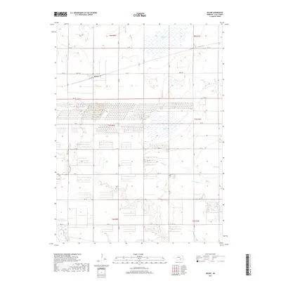
(16)- 2011 Map of Inland, 2011 Print
 2011 Inland2011 Print · USGSCovers Glenvil, including Inland, Clay County, and other nearby areas
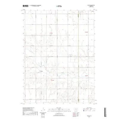
 - 2011 Map of Pauline, 2011 Print
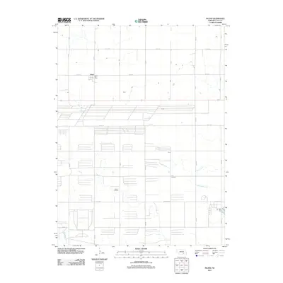
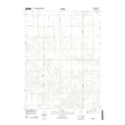
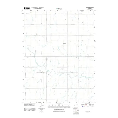 2011 Pauline2011 Print · USGSCovers Glenvil, including Pauline, Adams County, and other nearby areas
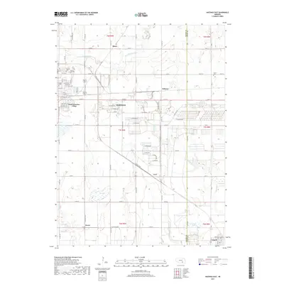
 - 2011 Map of Hastings East, 2011 Print
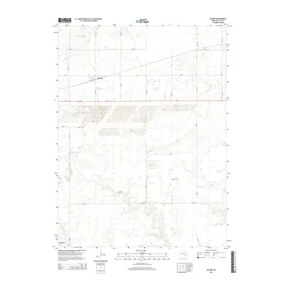
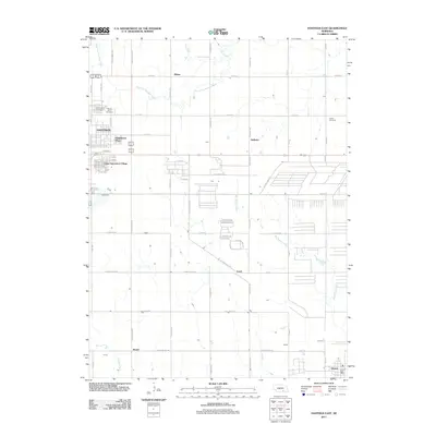 2011 Hastings East2011 Print · USGSCovers Glenvil, including Hastings, Blaine, and other nearby areas
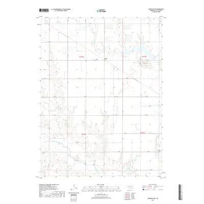
 - 2011 Map of Fairfield NW, 2011 Print
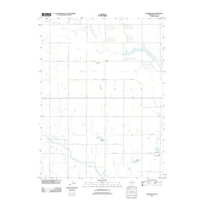 2011 Fairfield NW2011 Print · USGSCovers Glenvil, including Anan, Clay County, and other nearby areas
 - 2014 Map of Pauline, 2014 Print
 2014 Pauline2014 Print · USGSCovers Glenvil, including Pauline, Adams County, and other nearby areas
 - 2014 Map of Inland, 2014 Print
 2014 Inland2014 Print · USGSCovers Glenvil, including Inland, Clay County, and other nearby areas
 - 2014 Map of Hastings East, 2014 Print
 2014 Hastings East2014 Print · USGSCovers Glenvil, including Hastings, Blaine, and other nearby areas
 - 2014 Map of Fairfield NW, 2014 Print
 2014 Fairfield NW2014 Print · USGSCovers Glenvil, including Anan, Clay County, and other nearby areas
 - 2017 Map of Inland, 2017 Print
 2017 Inland2017 Print · USGSCovers Glenvil, including Inland, Clay County, and other nearby areas
 - 2017 Map of Pauline, 2017 Print
 2017 Pauline2017 Print · USGSCovers Glenvil, including Pauline, Adams County, and other nearby areas
 - 2017 Map of Hastings East, 2017 Print
 2017 Hastings East2017 Print · USGSCovers Glenvil, including Hastings, Blaine, and other nearby areas
 - 2017 Map of Fairfield NW, 2017 Print
 2017 Fairfield NW2017 Print · USGSCovers Glenvil, including Anan, Clay County, and other nearby areas
 - 2021 Map of Inland, 2021 Print
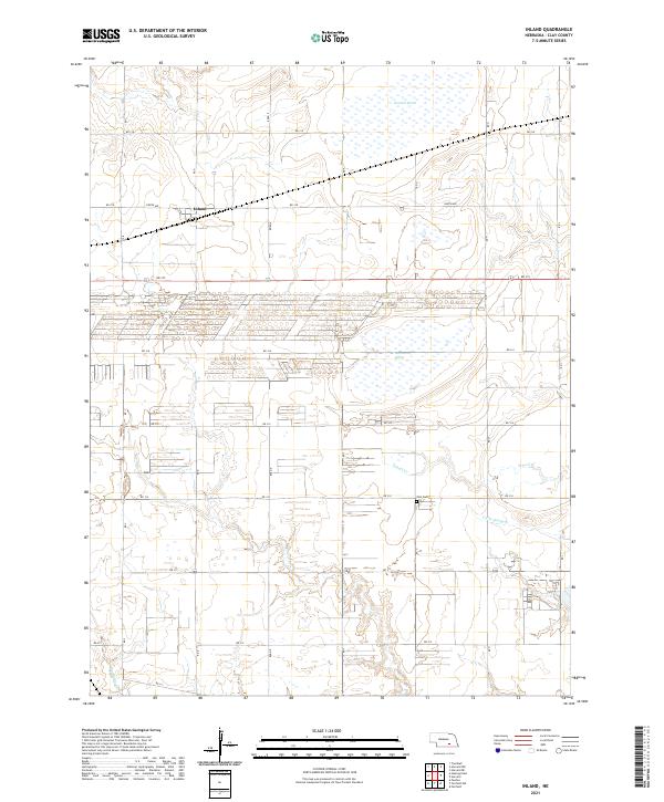 2021 Inland2021 Print · USGSClay County at the start of the 2020s shows a landscape of precision agriculture and vital prairie wetlands. Genealogists and local historians can locate Inland and the Zion Cemetery, or trace the paths of School Creek and Harvard Marsh.
 - 2021 Map of Fairfield NW, 2021 Print
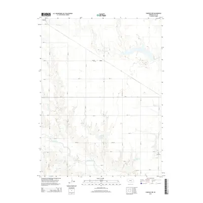
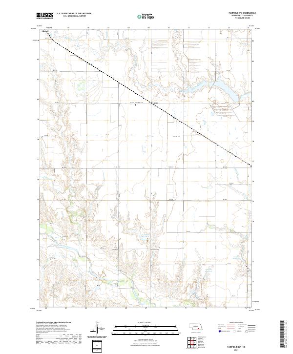 2021 Fairfield NW2021 Print · USGSClay County's rural township grids and water management systems are clearly visible in this modern topographic survey. Researchers can locate family landmarks like Anandale Cem and Anan or trace the path of the Little Blue River near Glenvil.
 - 2021 Map of Pauline, 2021 Print
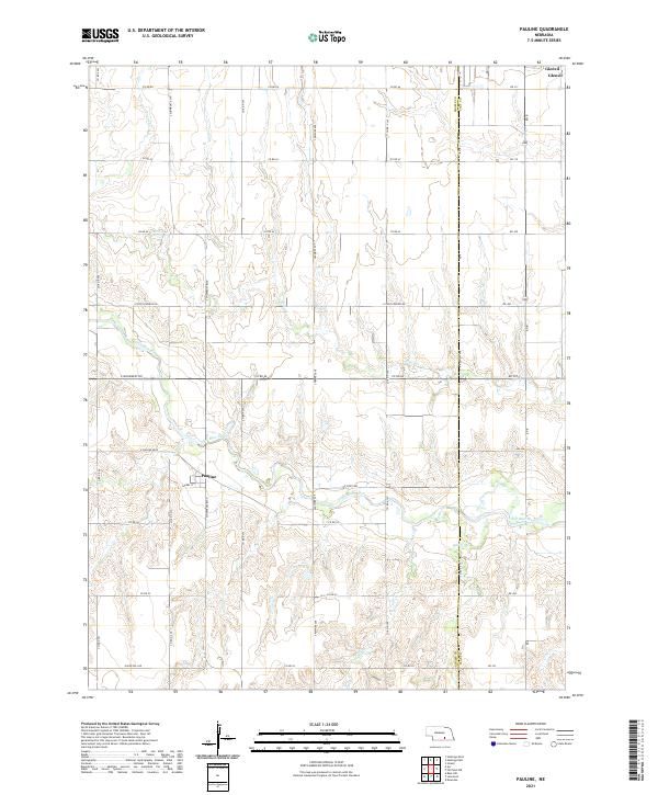 2021 Pauline2021 Print · USGSThe rural landscape of the Adams and Clay County border is captured here in the early twenty-first century. Researchers can trace the drainage of the Little Blue River and locate local landmarks like Pauline, Glenvil, and the historic E Pony Express Rd.
 - 2021 Map of Hastings East, 2021 Print
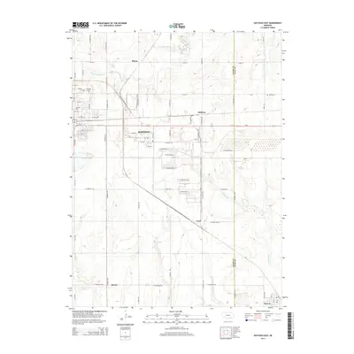
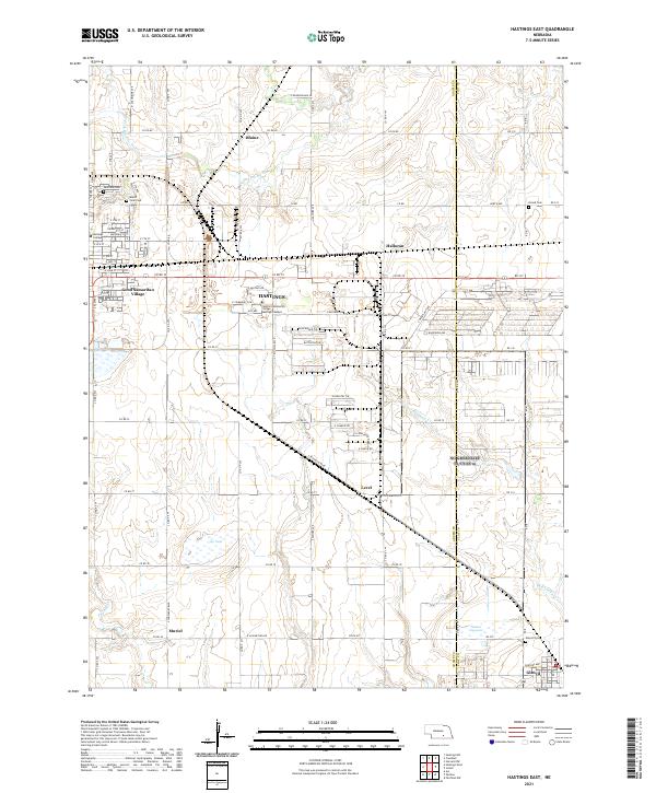 2021 Hastings East2021 Print · USGSThe eastern outskirts of Hastings and the surrounding prairie are captured here in the early twenty-first century. Researchers can locate historic burial sites like Mount Sinai Cem and trace the footprints of Hastings College or the village of Glenvil.
End of results
Showing maps 1-16 of 16
Top cities near Glenvil
- Hastings historical maps
- Harvard historical maps
- Blue Hill historical maps
- Clay Center historical maps
- Blaine historical maps
- Fairfield historical maps
See more
Frequently asked questions
- What are the different types of historical maps available for Glenvil?
- What is the oldest map of Glenvil?
- Where can I purchase historical maps of Glenvil for my home or office?
- Where can I download high-res historical maps of Glenvil?
- Are there historical topographic maps available for Glenvil?
- Is there historical aerial imagery available for Glenvil?
- Where are historical maps of Glenvil sourced from?