Old Maps of Glenvil, Nebraska for Academic Research
Study the evolution of Glenvil with 28 high-resolution historic maps. Whether you're teaching, researching, or modeling changes in land use, these maps provide essential visual documentation of urban, environmental, and geographic change.
- Analyze long-term change: Track patterns in development, transportation, and natural features.
- Ideal for environmental or urban studies: Support academic projects with primary historical map data.
- Use in the classroom or lab: Educators and researchers rely on these maps to bring historical context to life.
These maps are a powerful tool for teaching, research, and visualizing how Glenvil has changed over the decades.
Glenvil, NE maps
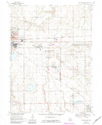
(28)- 1898 Map of Superior
 1898 Superior1898 Print · USGSSouthern Nebraska and northern Kansas were dominated by a growing rail network in the late nineteenth century. Genealogists can trace family roots through early settlements like Superior, Nelson, and Guide Rock, or locate vanished tracks of the Kansas City and Omaha R. R.3 unique versions available
 - 1898 Map of Grand Island
 1898 Grand Island1898 Print · USGSCentral Nebraska is captured in the late 1890s as a bustling rail and agricultural crossroads centered on the Platte River. Genealogists and historians can trace early settlements like Doniphan and Harvard or the grounds of the Insane Asylum outside Hastings.4 unique versions available
 - 1955 Map of Grand Island, 1967 Print
 1955 Grand Island1967 Print · USGSCentral Nebraska is seen here during a period of industrial and agricultural growth, centered on the vital Platte River corridor. Researchers can trace the mid-century footprints of the U S Naval Ammunition Depot and the Cornhusker Ordnance Plant.3 unique versions available
 - 1957 Map of Grand Island
 1957 Grand Island1957 Print · USGSCentral Nebraska and Northern Kansas are shown here during a period of massive hydraulic and military expansion in the mid-fifties. Researchers can trace the development of the Harlan County Reservoir and the massive wartime legacy of the Cornhusker Ordnance Plant.
 - 1958 Map of Grand Island
 1958 Grand Island1958 Print · USGSSouth-central Nebraska thrived as a rail and industrial hub during the late fifties, shaped by the braided Platte River. Genealogists and historians can trace rail lines like the Union Pacific RR through towns such as Kearney or locate the sprawling Cornhusker Ordnance Plant.
 - 1969 Map of Hastings East, 1971 Print
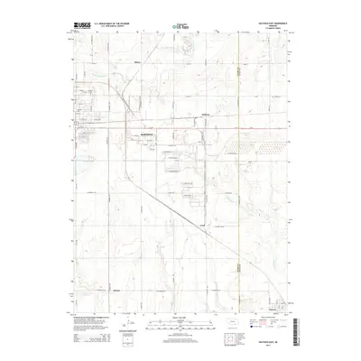
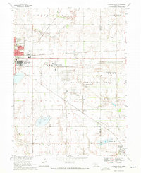 1969 Hastings East1971 Print · USGSThe prairie east of Hastings in the late sixties is dominated by a sprawling defense landscape and rail corridors. Trace the infrastructure of the U S Naval Ammunition Depot (Abandoned) or locate family sites like St Pauls Ch and Inland Cem.
 - 1969 Map of Fairfield NW, 1971 Print
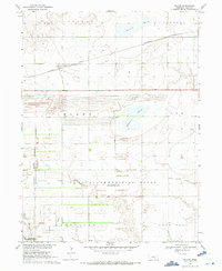
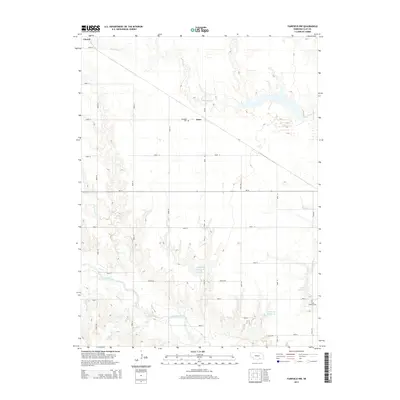
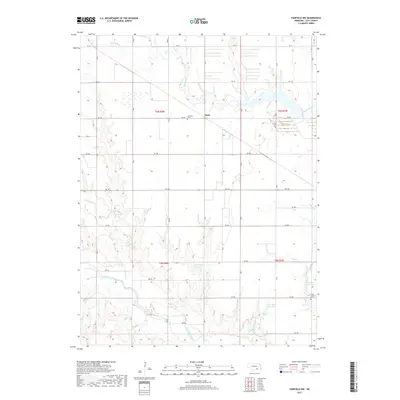
 1969 Fairfield NW1971 Print · USGSClay County at the end of the sixties was a landscape of quiet prairie settlements and military remnants. Genealogists and historians can trace the Little Blue River past Spring Ranch Cem and explore the site of the U S Naval Ammunition Depot (Abandoned).
 - 1969 Map of Inland, 1971 Print
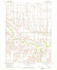
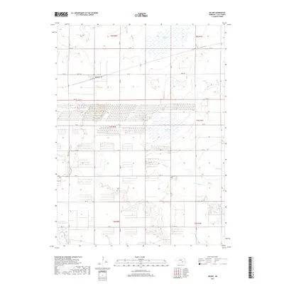
 1969 Inland1971 Print · USGSClay County at the end of the 1960s shows a landscape shaped by both agriculture and the massive U S Naval Ammunition Depot (Abandoned). Genealogists can locate several key burial sites including Inland Cem and Zion Cem, or trace the rail routes of the Burlington Northern.
 - 1969 Map of Pauline, 1972 Print
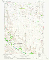
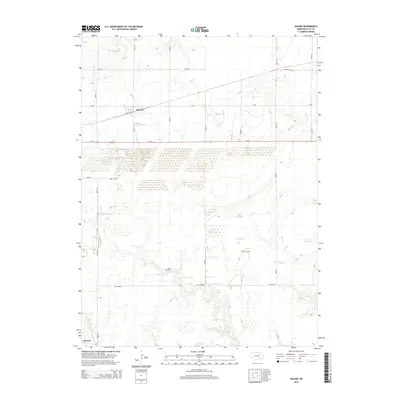
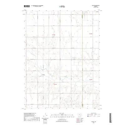
 1969 Pauline1972 Print · USGSThe rural agricultural landscapes of south-central Nebraska are captured here in the late sixties, centered on the Little Blue River valley. Genealogists and local historians can trace the foundations of Pauline and locate landmarks like Hanover Ch and School No 75.
 - 1983 Map of Hastings East, 1984 Print
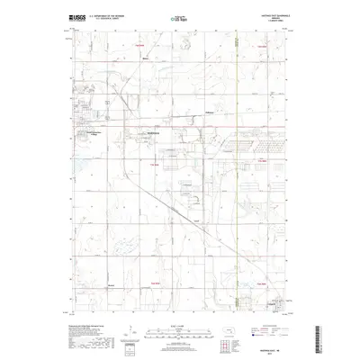
 1983 Hastings East1984 Print · USGSHastings and the Adams County countryside are captured here in the early eighties, showing a landscape defined by rail and military history. Genealogists and local historians can locate Mount Sinai Ch, Parkview Cem, and the small community of Glenville.
 - 1985 Map of Grand Island
 1985 Grand Island1985 Print · USGSThe Platte River valley in the mid-eighties shows a landscape of braided river channels and massive military-industrial sites. Trace the layout of the Cornhusker Ordnance Plant and find family landmarks like Parkview Cem or Good Samaritan Village.2 unique versions available
 - 1985 Map of Red Cloud
 1985 Red Cloud1985 Print · USGSSouth Central Nebraska and the Kansas borderlands appear in high detail during the mid-eighties as a landscape of river-fed agriculture and rail-connected prairie towns. Researchers can trace the Burlington Northern tracks through Red Cloud or locate the extensive Courtland Canal and Superior-Courtland Diversion Dam.2 unique versions available
 - 2011 Map of Inland, 2011 Print
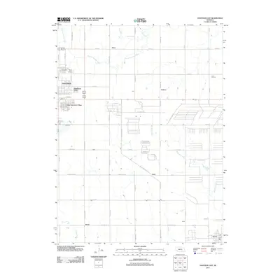
 2011 Inland2011 Print · USGSCovers Glenvil, including Inland, Clay County, and other nearby areas
 - 2011 Map of Pauline, 2011 Print
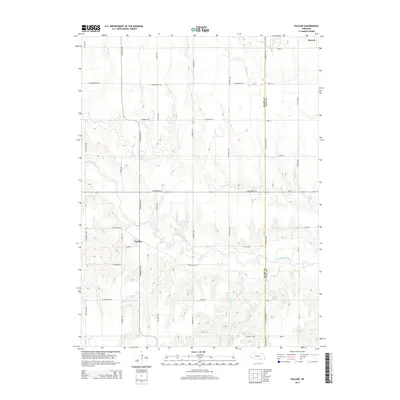
 2011 Pauline2011 Print · USGSCovers Glenvil, including Pauline, Adams County, and other nearby areas
 - 2011 Map of Hastings East, 2011 Print
 2011 Hastings East2011 Print · USGSCovers Glenvil, including Hastings, Blaine, and other nearby areas
 - 2011 Map of Fairfield NW, 2011 Print
 2011 Fairfield NW2011 Print · USGSCovers Glenvil, including Anan, Clay County, and other nearby areas
 - 2014 Map of Pauline, 2014 Print
 2014 Pauline2014 Print · USGSCovers Glenvil, including Pauline, Adams County, and other nearby areas
 - 2014 Map of Inland, 2014 Print
 2014 Inland2014 Print · USGSCovers Glenvil, including Inland, Clay County, and other nearby areas
 - 2014 Map of Hastings East, 2014 Print
 2014 Hastings East2014 Print · USGSCovers Glenvil, including Hastings, Blaine, and other nearby areas
 - 2014 Map of Fairfield NW, 2014 Print
 2014 Fairfield NW2014 Print · USGSCovers Glenvil, including Anan, Clay County, and other nearby areas
 - 2017 Map of Inland, 2017 Print
 2017 Inland2017 Print · USGSCovers Glenvil, including Inland, Clay County, and other nearby areas
 - 2017 Map of Pauline, 2017 Print
 2017 Pauline2017 Print · USGSCovers Glenvil, including Pauline, Adams County, and other nearby areas
 - 2017 Map of Hastings East, 2017 Print
 2017 Hastings East2017 Print · USGSCovers Glenvil, including Hastings, Blaine, and other nearby areas
 - 2017 Map of Fairfield NW, 2017 Print
 2017 Fairfield NW2017 Print · USGSCovers Glenvil, including Anan, Clay County, and other nearby areas
 - 2021 Map of Inland, 2021 Print
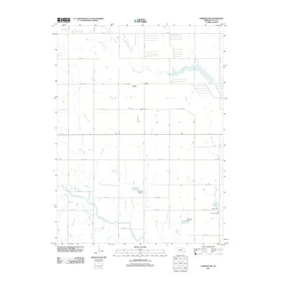
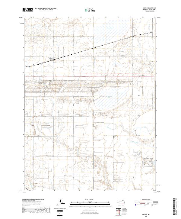 2021 Inland2021 Print · USGSClay County at the start of the 2020s shows a landscape of precision agriculture and vital prairie wetlands. Genealogists and local historians can locate Inland and the Zion Cemetery, or trace the paths of School Creek and Harvard Marsh.
Showing maps 1-25 of 28
Top cities near Glenvil
- Hastings historical maps
- Harvard historical maps
- Blue Hill historical maps
- Clay Center historical maps
- Blaine historical maps
- Fairfield historical maps
See more
Frequently asked questions
- What are the different types of historical maps available for Glenvil?
- What is the oldest map of Glenvil?
- Where can I purchase historical maps of Glenvil for my home or office?
- Where can I download high-res historical maps of Glenvil?
- Are there historical topographic maps available for Glenvil?
- Is there historical aerial imagery available for Glenvil?
- Where are historical maps of Glenvil sourced from?