Old Maps of Bordeaux, Nebraska for Genealogy
Trace your family roots with 10 historic maps of Bordeaux. These high-res maps reveal old neighborhoods, homesites, landmarks, and streets — helping you uncover where your ancestors lived and how the area evolved over time.
- Explore historic neighborhoods: Identify where your relatives may have lived in the 1800s or 1900s.
- Compare maps over time: Trace the changes in streets, buildings, and landmarks for multi-generational research.
- Perfect for genealogy & ancestry research: Used by family historians and researchers to map out lineage and migration.
These maps are an incredible resource for exploring your personal connection to Bordeaux's past.
Bordeaux, NE maps
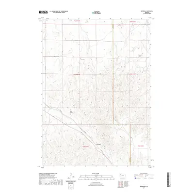
(10)- 1955 Map of Alliance, 1966 Print
 1955 Alliance1966 Print · USGSThe Nebraska panhandle comes into sharp focus during the mid-fifties, showing a landscape defined by the Niobrara River and the expanding Sand Hills. Researchers can trace the grounds of Fort Robinson, locate Saint Marys Church, or follow the Chicago Burlington and Quincy rail line through Hemingford.3 unique versions available
 - 1957 Map of Alliance
 1957 Alliance1957 Print · USGSNorthwest Nebraska in the mid-fifties is captured here as a landscape of rail hubs, sprawling cattle ranches, and the eastern edge of the dunes. Genealogists and historians can trace rail lines through Alliance and Chadron or locate landmarks like Saint Marys Church and the Agate Spring Fossil Beds.
 - 1958 Map of Alliance
 1958 Alliance1958 Print · USGSNorthwestern Nebraska in the late fifties shows a landscape shaped by the legacy of the high plains frontier and modern agricultural expansion. Genealogists and historians can trace rail-line settlements and landmarks like Fort Robinson and the Agate Spring Fossil Beds.
 - 1969 Map of Bordeaux, 1972 Print
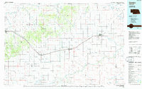
 1969 Bordeaux1972 Print · USGSThe northwestern Nebraska plains meet the Pine Ridge in the late sixties, where the Chicago and North Western railroad defines the local economy. Researchers can locate the settlement of Bordeaux, a small Cem, and landmarks like Sheridan Gates.
 - 1985 Map of Gordon
 1985 Gordon1985 Print · USGSSheridan County and the High Plains thrive along the rail lines during the mid-eighties as agriculture and aviation modernize the region. Trace family roots and land patterns near Rushville, the Nebraska National Forest, and the Old Indian Treaty Boundary.2 unique versions available
 - 2011 Map of Bordeaux, 2011 Print
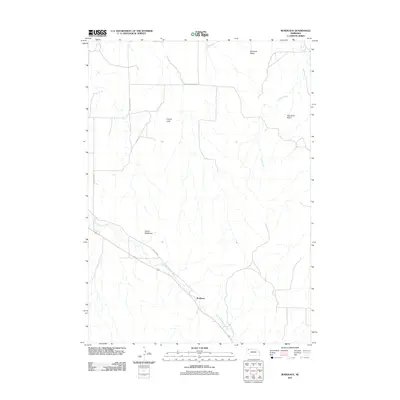 2011 Bordeaux2011 Print · USGSCovers Bordeaux, including Dawes County, Sheridan County, and other nearby areas
 - 2014 Map of Bordeaux, 2014 Print
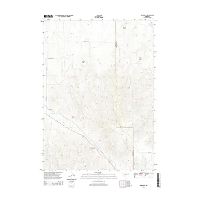 2014 Bordeaux2014 Print · USGSCovers Bordeaux, including Dawes County, Sheridan County, and other nearby areas
 - 2017 Map of Bordeaux, 2017 Print
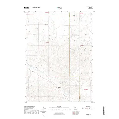 2017 Bordeaux2017 Print · USGSCovers Bordeaux, including Dawes County, Sheridan County, and other nearby areas
 - 2021 Map of Bordeaux, 2021 Print
 2021 Bordeaux2021 Print · USGSCovers Bordeaux, including Dawes County, Sheridan County, and other nearby areas
 - 2023 Map of Bordeaux, 2023 Print
 2023 Bordeaux2023 Print · USGSThe rugged terrain of the Dawes and Sheridan county line comes to life in this contemporary survey. Historians and outdoor enthusiasts can trace the paths of Little Bordeaux Creek and find landmarks like Devils Backbone and Lovers Leap.
End of results
Showing maps 1-10 of 10
Top cities near Bordeaux
Frequently asked questions
- What are the different types of historical maps available for Bordeaux?
- What is the oldest map of Bordeaux?
- Where can I purchase historical maps of Bordeaux for my home or office?
- Where can I download high-res historical maps of Bordeaux?
- Are there historical topographic maps available for Bordeaux?
- Is there historical aerial imagery available for Bordeaux?
- Where are historical maps of Bordeaux sourced from?