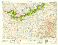
1958 Map of Alliance
USGS Topo · Published 1958About this map
Fort Robinson stands as a focal point in the northwest corner of this western Nebraska landscape, adjacent to the Fort Robinson Bee and Cattle Research Station. The mid-century geography is defined by the transition from the rugged Pine Ridge breaks near Chadron to the expansive Sand Hills of the southeast. Significant infrastructure of the era is evident at the Alliance Air Force Base (Inactive) and the Box Butte Reservoir, which managed water for the arid high plains.
Find a feature on this map
69 named features on this map. Tap any name to fly to it.
Don’t see what you’re looking for? This feature index may not catch every label — zoom into the map to look around manually.
Map Details
Editions of this 1958 Alliance Map
This is the sole edition of this map. No revisions or reprints were ever made.
Other maps of this area
1896 · Oelrichs
USGS Topo · 1:125,000
1896 · Patrick
USGS Topo · 1:125,000
1896 · Browns Creek
USGS Topo · 1:125,000
1898 · Scotts Bluff
USGS Topo · 1:125,000
1898 · Camp Clarke
USGS Topo · 1:125,000
1899 · Browns Creek
USGS Topo · 1:125,000
1899 · Goshen Hole
USGS Topo · 1:125,000
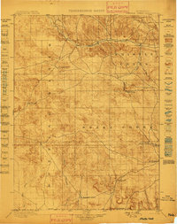
1899 · Whistle Creek
USGS Topo · 1:125,000
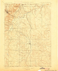
1900 · Oelrichs
USGS Topo · 1:125,000
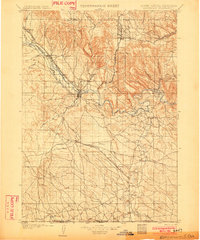
1902 · Edgemont
USGS Topo · 1:125,000