2010s Maps of Dodge County, Nebraska
Explore 48 historic maps of Dodge County from the 2010s. These maps offer a rare glimpse into what life looked like during the 2010s — showing old roads, neighborhoods, homes, and landmarks that have changed or disappeared over time.
Whether you're researching your family's past, planning a metal detecting trip, or studying how Dodge County's landscape evolved across the 2010s, these high-resolution maps are a powerful tool for exploring the history of this region.
- Focus on a specific era: All maps on this page are from the 2010s, giving you a focused view of this time period.
- See what’s changed: Compare century-old streets, trails, and buildings to today's modern landscape using overlays and satellite layers.
- Research with precision: Use these maps for genealogy, historical research, land use analysis, or educational projects.
- View, download, or print: Maps are fully viewable online in high resolution, and can be downloaded or printed for your own records.
Start exploring Dodge County's history through authentic maps from the 2010s. This is your window into the past.
Dodge County, NE maps
(48)- 2011 Map of Webster, 2011 Print
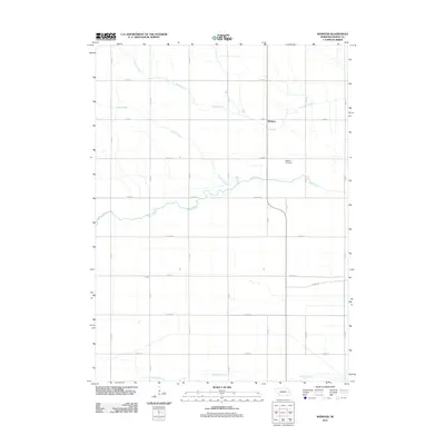 2011 Webster2011 Print · USGSDodge County's agricultural heartland is documented here in the early twenty-first century, showing a landscape defined by creek valleys and a strict rural road grid. Researchers can locate the Webster Cemetery and trace the paths of Maple Creek and Silver Creek near the settlements of Webster and Clyde.
 - 2011 Map of Fremont West, 2011 Print
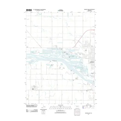 2011 Fremont West2011 Print · USGSThe braided channels of the Platte River valley define this eastern Nebraska landscape in the early twenty-first century. Family historians and researchers can locate Pohocco Cemetery, the Cedar Bluffs Post Office, and recreational camps like Camp Eagle.
 - 2011 Map of Fremont East, 2011 Print
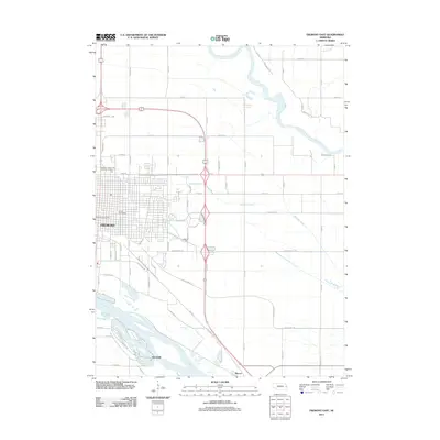 2011 Fremont East2011 Print · USGSFremont and the surrounding river bottoms are shown here during a period of steady growth and water management in the early twenty-first century. Researchers can trace the shifting course of the Platte River and locate local landmarks like the Behlen Observatory and the Masonic Eastern Star Home for Children.
 - 2011 Map of Nickerson NW, 2011 Print
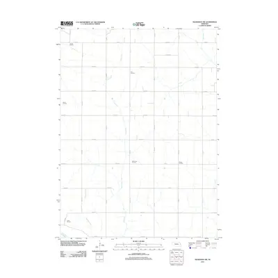 2011 Nickerson NW2011 Print · USGSDodge County's agricultural heartland is documented here in the early twenty-first century, showing the rigid road grid and winding creek beds. Genealogists can locate several local burial sites like Argo Cemetery and West Admah Cemetery.
 - 2011 Map of Scribner, 2011 Print
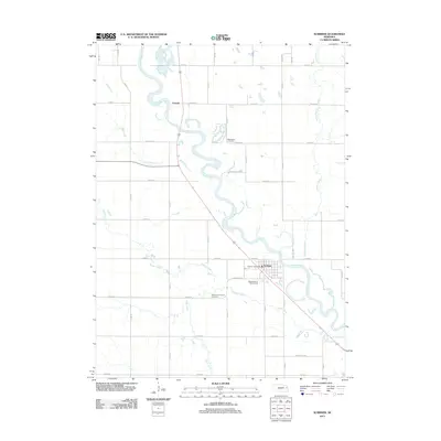 2011 Scribner2011 Print · USGSThe Elkhorn River valley in Dodge County is shown here in the early twenty-first century, centered on the community of Scribner. Genealogists and local historians can locate the Manhattan Cemetery and the Scribner Municipal Cemetery, or trace the winding course of Pebble Creek.
 - 2011 Map of North Bend, 2011 Print
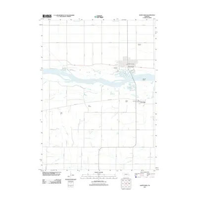 2011 North Bend2011 Print · USGSNorth Bend and Morse Bluff straddle the Platte River at the turn of the 21st century, showing a landscape defined by water and agriculture. Researchers can trace local genealogy through the Woodland Cemetery and Killian Cemetery or locate the North Bend Post Office.
 - 2011 Map of Scribner SW, 2011 Print
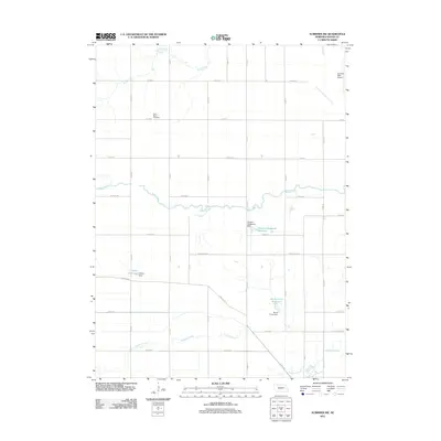 2011 Scribner SW2011 Print · USGSDodge County's agricultural heartland is documented here in the early twenty-first century, showing a landscape shaped by creek systems and rural transport. Genealogists and locals can locate Saint Marys Cemetery and the Scribner State Airport alongside waterways like Maple Creek.
 - 2011 Map of Rogers, 2011 Print
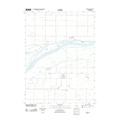 2011 Rogers2011 Print · USGSThe Platte River valley in eastern Nebraska is shown here as it appeared in the early 2010s. Genealogists and local historians can locate early settlement markers like Dawson Cemetery and the Linwood Post Office, or trace the winding course of Skull Creek.
 - 2011 Map of Malmo NW, 2011 Print
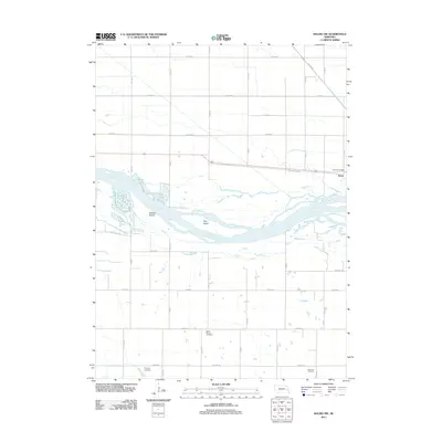 2011 Malmo NW2011 Print · USGSEastern Nebraska's river valley and rural townships come into focus during this 2011 survey. Local researchers can trace family roots at Saint Marys Cemetery or follow the historic path of the Old Lincoln Hwy through Ames.
 - 2011 Map of Dodge, 2011 Print
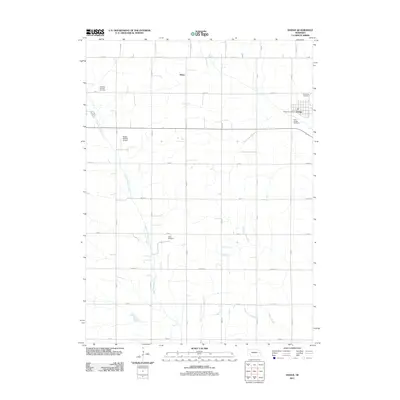 2011 Dodge2011 Print · USGSThe village of Dodge and its surrounding agricultural township are documented here in the early twenty-first century. Genealogists can trace family sites at Saint Joseph Cemetery, Olean, and the rural Tabor Cemetery along the East Fork Maple Creek.
 - 2011 Map of Snyder, 2011 Print
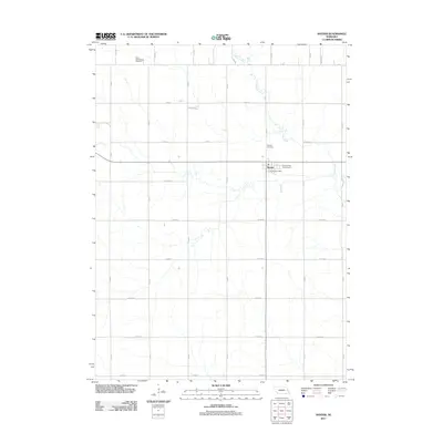 2011 Snyder2011 Print · USGSSnyder and the surrounding farm country of Dodge County are captured here just after the turn of the millennium. Local researchers can locate family sites near Saint Wenceslaus Cemetery, the Snyder Post Office, and the banks of Pebble Creek.
 - 2011 Map of Hooper, 2011 Print
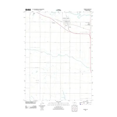 2011 Hooper2011 Print · USGSThe Dodge County landscape north of Fremont is captured here in the early twenty-first century, centered on the Elkhorn River valley. Genealogists and local historians can locate Hooper Cemetery, the Scribner Air Base Dam, and the small settlement of Winslow.
 - 2011 Map of Dodge SW, 2011 Print
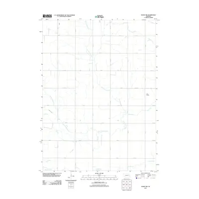 2011 Dodge SW2011 Print · USGSAgricultural Colfax County is captured here in the early twenty-first century, showcasing a landscape defined by its waterways and section-line roads. Genealogists can locate Saint Patricks Cemetery or trace the paths of Kasal Canal and Maple Creek.
 - 2011 Map of Uehling, 2011 Print
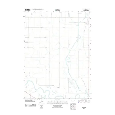 2011 Uehling2011 Print · USGSDodge County agricultural life is captured here in the early twenty-first century, showing the town of Uehling and the surrounding prairie. You can trace the drainage of the Logan Creek Dredge or locate local landmarks like Saint Johns Cemetery and the bends of the Elkhorn River.
 - 2011 Map of Arlington, 2011 Print
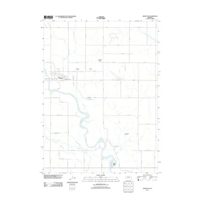 2011 Arlington2011 Print · USGSArlington and the Elkhorn River valley are shown here in the early twenty-first century, capturing a landscape shaped by water and agriculture. Genealogists and local historians can locate the Arlington Cemetery, the Washington County Fair Grounds, and Rawhide Creek's Old Channel.
 - 2011 Map of Nickerson, 2011 Print
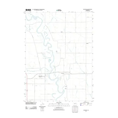 2011 Nickerson2011 Print · USGSDodge County's river valleys and rural settlements are shown in detail during the early 2010s. Genealogists and local historians can trace family locations near Nickerson, Fontanelle, and Telbasta, or locate historic burials at Hartung Cemetery.
 - 2014 Map of Hooper, 2014 Print
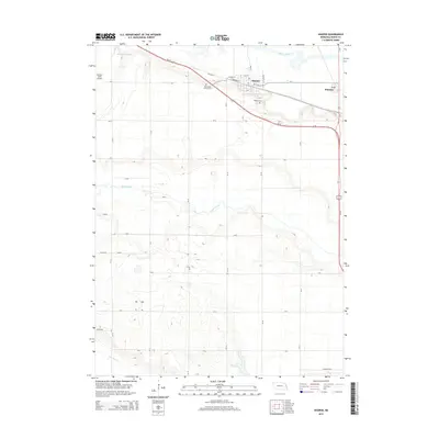 2014 Hooper2014 Print · USGSDodge County's river valley and rural townships are captured here in the mid-2010s, showing the agricultural heart of eastern Nebraska. Genealogists and local historians can trace family sites at Hooper Cemetery or Saint Rose of Lima Cemetery and locate farms along the banks of Maple Creek.
 - 2014 Map of Webster, 2014 Print
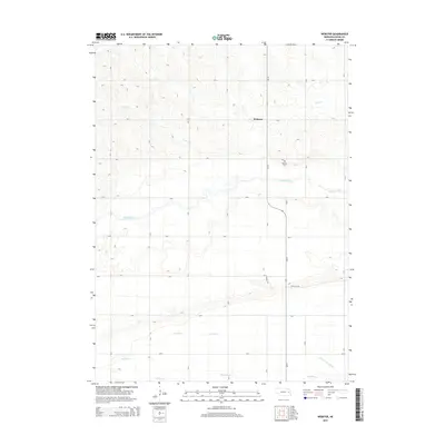 2014 Webster2014 Print · USGSDodge County agricultural lands are documented here in the early 2010s, showing the intersection of rural life and water management. Researchers can locate the Webster Cem and trace the paths of Maple Creek and Scott Ditch.
 - 2014 Map of Dodge, 2014 Print
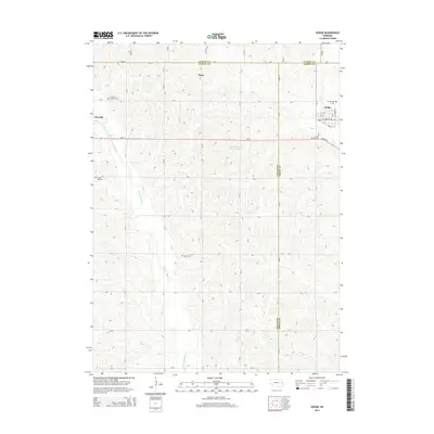 2014 Dodge2014 Print · USGSDodge and its surrounding farmsteads sit at a three-county intersection during the early twenty-first century. Genealogists can trace family names and locations through several rural landmarks, including Olean, Grove Hill Cem, and Tabor Cem.
 - 2014 Map of Fremont West, 2014 Print
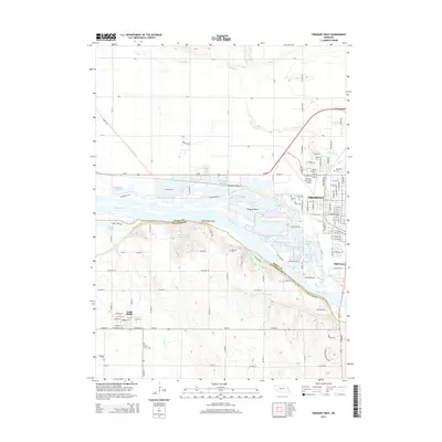 2014 Fremont West2014 Print · USGSThe braided Platte River valley is captured here in the mid-2010s, showing the intersection of river-bound recreation and the agricultural uplands. Genealogists can locate family sites at Pohocco Cem or Maple Grove Cem, while tracing the growth of Cedar Bluffs.
 - 2014 Map of Snyder, 2014 Print
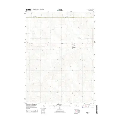 2014 Snyder2014 Print · USGSDodge County agricultural life is preserved here in the early twenty-first century, centered on the village of Snyder. Genealogists and local historians can locate family sites near Saint Wenceslaus Cem, Snyder Cem, and along the banks of Pebble Cr.
 - 2014 Map of Arlington, 2014 Print
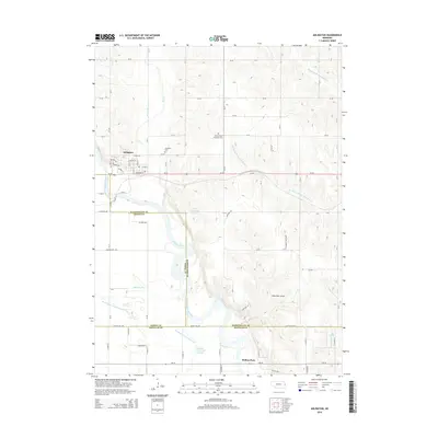 2014 Arlington2014 Print · USGSArlington and the Elkhorn River valley are shown here in the early twenty-first century, revealing a landscape shaped by water and tradition. Researchers can trace family history at Arlington Cem or locate regional landmarks like Sibbernsen Airport and Rellers Park.
 - 2014 Map of Rogers, 2014 Print
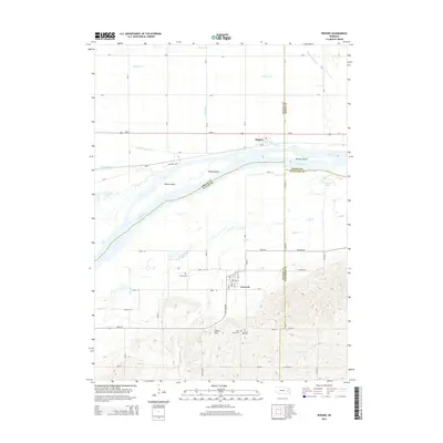 2014 Rogers2014 Print · USGSThe Platte River valley in east-central Nebraska is captured here, showing the river's complex island system and the agricultural communities on its banks. Researchers can find detailed cemetery locations like Dawson Cem and Saint Marys Cem near Linwood.
 - 2014 Map of North Bend, 2014 Print
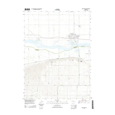 2014 North Bend2014 Print · USGSDodge and Saunders counties meet along the Platte River in the 2010s, where rail-line towns and river islands define the valley. Researchers can trace local heritage at Woodland Cem, visit the settlement of Morse Bluff, or locate the rural Killian Cem.
 - 2014 Map of Scribner, 2014 Print
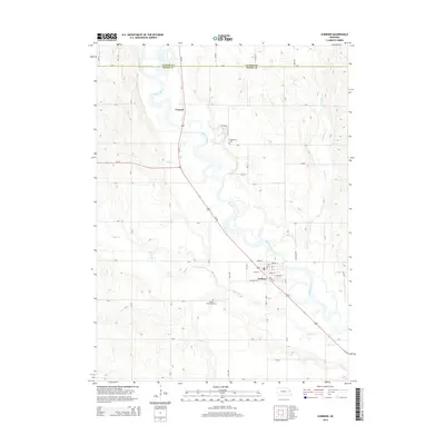 2014 Scribner2014 Print · USGSDodge County agricultural lands and river bends are captured here in the early twenty-first century. Genealogists and local historians can locate the Manhattan Cemetery near Crowell or trace the winding courses of the Elkhorn River and Pebble Creek.
Showing maps 1-25 of 48
Top cities of Dodge County
- Fremont historical maps
- North Bend historical maps
- Webster historical maps
- Scribner historical maps
- Hooper historical maps
- Dodge historical maps
See more
Frequently asked questions
- What are the different types of historical maps available for Dodge County?
- What is the oldest map of Dodge County?
- Where can I purchase historical maps of Dodge County for my home or office?
- Where can I download high-res historical maps of Dodge County?
- Are there historical topographic maps available for Dodge County?
- Is there historical aerial imagery available for Dodge County?
- Where are historical maps of Dodge County sourced from?