1970s Maps of Dundy County, Nebraska
Explore 14 historic maps of Dundy County from the 1970s. These maps offer a rare glimpse into what life looked like during the 1970s — showing old roads, neighborhoods, homes, and landmarks that have changed or disappeared over time.
Whether you're researching your family's past, planning a metal detecting trip, or studying how Dundy County's landscape evolved across the 1970s, these high-resolution maps are a powerful tool for exploring the history of this region.
- Focus on a specific era: All maps on this page are from the 1970s, giving you a focused view of this time period.
- See what’s changed: Compare century-old streets, trails, and buildings to today's modern landscape using overlays and satellite layers.
- Research with precision: Use these maps for genealogy, historical research, land use analysis, or educational projects.
- View, download, or print: Maps are fully viewable online in high resolution, and can be downloaded or printed for your own records.
Start exploring Dundy County's history through authentic maps from the 1970s. This is your window into the past.
Dundy County, NE maps
(14)- 1971 Map of Alvin, 1974 Print
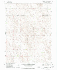
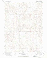
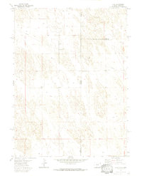 1971 Alvin1974 Print · USGSThe Colorado-Nebraska borderlands in the early seventies reveal a sparse ranching and energy landscape. Genealogists and researchers can trace the small settlement of Alvin, find family roots at Hughes Cem, and locate early utility infrastructure like the Pumping Sta.3 unique versions available
 - 1971 Map of Wray NE, 1974 Print
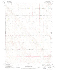
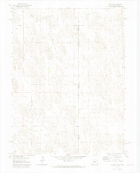 1971 Wray NE1974 Print · USGSThe high plains on the Colorado-Nebraska border are documented here in the early 1970s, showing a landscape shaped by ranching and resource extraction. Researchers can locate the Ceres Ranch, trace the Yuma and Dundy county line, and find a localized Gravel Pit.3 unique versions available
 - 1973 Map of Haigler NE, 1977 Print
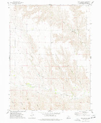
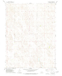 1973 Haigler NE1977 Print · USGSDundy County, Nebraska, is documented here in the early 1970s, showcasing the high plains and its vital water resources. Historians and genealogists can trace the small settlement of Allston or examine the grounds of the Rock Creek State Fish Hatchery near Rock Creek.
 - 1973 Map of Champion SW, 1977 Print
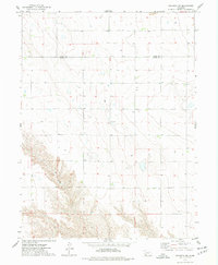
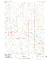
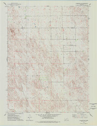 1973 Champion SW1977 Print · USGSDundy County ranchlands and the high plains terrain are documented here as they appeared in the early seventies. Genealogists and local historians can locate Hiawatha Cem or trace the area around the landmark known as Old Baldy.
 - 1973 Map of Reservoir Lake SE, 1977 Print
 1973 Reservoir Lake SE1977 Print · USGSDundy and Chase Counties meet in this western Nebraska landscape during the early seventies, showing a world of isolated farmsteads and prairie infrastructure. Researchers can trace the settlement at Lamont, find numerous scattered Well sites, and locate the industrial footprint of a Gravel Pit.
 - 1973 Map of Ough, 1977 Print
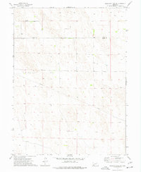
 1973 Ough1977 Print · USGSDundy and Chase counties meet in this 1970s survey of the Nebraska High Plains during a period of steady agricultural production. Genealogists and local researchers can locate family sites at Ough Cem and Sleepy Hollow Cem, or trace the path of Muddy Cr.
 - 1973 Map of Wauneta SW, 1977 Print
 1973 Wauneta SW1977 Print · USGSThe high plains along the Chase Co and Dundy Co line are captured here in the early 1970s. Local historians can trace community roots at Mt Zion Ch and Mt Zion Cem or follow the path of Muddy Creek.
 - 1973 Map of Reservoir Lake SW, 1977 Print
 1973 Reservoir Lake SW1977 Print · USGSThe sand hills of the Nebraska panhandle are captured in the early seventies along the Chase Co and Dundy Co border. Researchers can trace the path of the regional Pipeline and locate numerous scattered wells across this sparsely populated landscape.
 - 1973 Map of Benkelman NW, 1977 Print
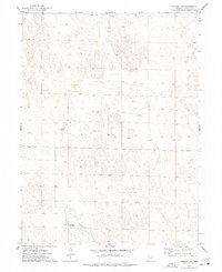
 1973 Benkelman NW1977 Print · USGSDundy County's high plains are captured in the early 1970s, showcasing the essential infrastructure of rural Nebraska. Genealogists and local historians can locate family landmarks like the Pleasant Valley Ch, the Community Hall, and a solitary Grave.
 - 1973 Map of Rock Canyon, 1977 Print
 1973 Rock Canyon1977 Print · USGSDundy County in the mid-seventies shows a landscape defined by deep draws and remote plains. Researchers can trace land markers like the Highland Cem and industrial history through the PIPELINE and local Gravel Pit.
 - 1973 Map of Wauneta SE, 1977 Print
 1973 Wauneta SE1977 Print · USGSThe high plains of southwest Nebraska in the 1970s show a landscape shaped by massive drainages at the junction of four counties. Researchers can trace the layout of rural homesteads and social centers like Eden Ch and the Community Hall near Horse Canyon.
 - 1973 Map of Arrowhead Lake, 1977 Print
 1973 Arrowhead Lake1977 Print · USGSDundy County, Nebraska, is documented here in the early seventies as a landscape of remote plains and vital water management. Genealogists and historians can trace the small settlement of Southwick or locate the rural wells and infrastructure around Arrowhead Lake.
 - 1973 Map of Haigler NW, 1977 Print
 1973 Haigler NW1977 Print · USGSDundy County, Nebraska, is seen here in the early 1970s as a landscape of managed water and scattered rural infrastructure. Researchers can trace land use through the Harford Landing Field, the settlement of Sharp, and the path of Buffalo Creek.
 - 1979 Map of Benkelman
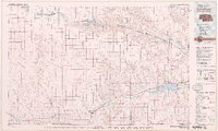 1979 Benkelman1979 Print · USGSSouthwestern Nebraska in the late seventies is shown as a network of river-valley towns and high-plains ranching country. Genealogists and researchers can trace the rail corridor through Benkelman, Culbertson, and Haigler, or locate the reservoir lands at Enders.
End of results
Showing maps 1-14 of 14
Top cities of Dundy County
Frequently asked questions
- What are the different types of historical maps available for Dundy County?
- What is the oldest map of Dundy County?
- Where can I purchase historical maps of Dundy County for my home or office?
- Where can I download high-res historical maps of Dundy County?
- Are there historical topographic maps available for Dundy County?
- Is there historical aerial imagery available for Dundy County?
- Where are historical maps of Dundy County sourced from?