Old Maps of Dundy County, Nebraska for Academic Research
Study the evolution of Dundy County with 115 high-resolution historic maps. Whether you're teaching, researching, or modeling changes in land use, these maps provide essential visual documentation of urban, environmental, and geographic change.
- Analyze long-term change: Track patterns in development, transportation, and natural features.
- Ideal for environmental or urban studies: Support academic projects with primary historical map data.
- Use in the classroom or lab: Educators and researchers rely on these maps to bring historical context to life.
These maps are a powerful tool for teaching, research, and visualizing how Dundy County has changed over the decades.
Dundy County, NE maps
(115)- 1954 Map of Sterling
 1954 Sterling1954 Print · USGSNortheastern Colorado and the Nebraska borderlands are defined by the river-and-rail corridors of the mid-twentieth century. Researchers can trace the development of agricultural hubs from Sterling and Fort Morgan to smaller rail stops along the Union Pacific and Burlington Northern lines.3 unique versions available
 - 1954 Map of McCook, 1966 Print
 1954 McCook1966 Print · USGSSouthwest Nebraska in the mid-fifties reveals a landscape shaped by major water projects and the Chicago Burlington and Quincy RR. Trace ancestral roots and defunct rail stops in McCook, Wauneta, and along the shores of Swanson Lake.2 unique versions available
 - 1957 Map of McCook
 1957 McCook1957 Print · USGSSouthwestern Nebraska in the mid-fifties is captured here during a period of significant water development and rail-based commerce. Researchers can trace the path of the Chicago Burlington and Quincy through Indianola and Bartley, or locate rural settlements like Chase Village and Ough near the Sand Hills.
 - 1958 Map of McCook
 1958 McCook1958 Print · USGSSouthwest Nebraska during the late fifties reveals a landscape of massive new reservoirs and established rail hubs like McCook. Genealogists can trace family footprints through rural centers like St Johns Church and the many grain elevators along the Union Pacific RR.2 unique versions available
 - 1958 Map of Sterling
 1958 Sterling1958 Print · USGSNortheastern Colorado thrived along the river and rail corridors during the late fifties. Genealogists and historians can trace family-named irrigation works like Davis Brothers Ditch and agricultural hubs from Peetz to Fort Morgan.
 - 1961 Map of Parks, 1963 Print
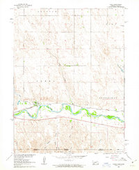 1961 Parks1963 Print · USGSThe Republican River valley in the early sixties shows a landscape shaped by rail and water. Researchers can trace rural life through landmarks like Parks Cem, Union Sch, and the winding path of the Chicago Burlington and Quincy railroad.
 - 1961 Map of Benkelman, 1963 Print
 1961 Benkelman1963 Print · USGSBenkelman and the Republican River valley are documented in the early sixties as a center of rail and river life. Researchers can trace the Chicago Burlington and Quincy line past Doane or locate the Benkelman Cem and Benkelman State Fish Hatchery.
 - 1961 Map of Rock Creek Lake, 1963 Print
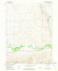 1961 Rock Creek Lake1963 Print · USGSThe Republican River valley on the Nebraska-Kansas border is captured here in the early sixties, showing the vital rail-and-river corridor. Trace the path of the Chicago Burlington and Quincy railroad or locate local landmarks like the State Fish Hatchery and Rock Creek Lake.
 - 1961 Map of Haigler, 1963 Print
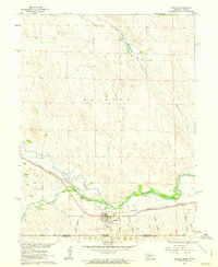 1961 Haigler1963 Print · USGSThe confluence of the North Fork Republican River and Arikaree River dominates this 1960s borderlands survey. Trace the rail-side growth of Haigler through landmarks like the Haigler Canal and the Chicago Burlington and Quincy railroad.
 - 1961 Map of Laird, 1963 Print
 1961 Laird1963 Print · USGSThe high plains borderland at the Colorado-Nebraska-Kansas corner comes to life in the early sixties, centered on the river-and-rail corridor. Researchers can trace the path of the Chicago Burlington and Quincy railroad or locate local landmarks like Laird, Hanshaw Cem, and Sanborn.4 unique versions available
 - 1962 Map of Max SE, 1964 Print
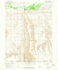 1962 Max SE1964 Print · USGSThe Nebraska-Kansas borderlands in the early sixties reveal a landscape of deep creek valleys and river-bottom rail lines. Genealogists and historians can trace local landmarks like West Union Cem and the Chicago Burlington and Quincy tracks.
 - 1962 Map of Max NE, 1964 Print
 1962 Max NE1964 Print · USGSHitchcock and Dundy counties are shown in the early sixties as a landscape of deeply eroded canyons and river bottomland. Genealogists and researchers can locate the Ash Grove Cem, trace the Chicago Burlington and Quincy railroad, and find the settlement of Lingo.
 - 1962 Map of Max, 1964 Print
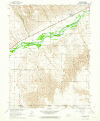 1962 Max1964 Print · USGSThe Republican River valley in the early 1960s was a landscape defined by its deep canyons and the vital Chicago Burlington and railroad. You can trace family history at Max and the Max Cem, or locate remote landmarks like Bunning and Vogley Canyon.
 - 1971 Map of Alvin, 1974 Print
 1971 Alvin1974 Print · USGSThe Colorado-Nebraska borderlands in the early seventies reveal a sparse ranching and energy landscape. Genealogists and researchers can trace the small settlement of Alvin, find family roots at Hughes Cem, and locate early utility infrastructure like the Pumping Sta.3 unique versions available
 - 1971 Map of Wray NE, 1974 Print
 1971 Wray NE1974 Print · USGSThe high plains on the Colorado-Nebraska border are documented here in the early 1970s, showing a landscape shaped by ranching and resource extraction. Researchers can locate the Ceres Ranch, trace the Yuma and Dundy county line, and find a localized Gravel Pit.3 unique versions available
 - 1973 Map of Haigler NE, 1977 Print
 1973 Haigler NE1977 Print · USGSDundy County, Nebraska, is documented here in the early 1970s, showcasing the high plains and its vital water resources. Historians and genealogists can trace the small settlement of Allston or examine the grounds of the Rock Creek State Fish Hatchery near Rock Creek.
 - 1973 Map of Champion SW, 1977 Print
 1973 Champion SW1977 Print · USGSDundy County ranchlands and the high plains terrain are documented here as they appeared in the early seventies. Genealogists and local historians can locate Hiawatha Cem or trace the area around the landmark known as Old Baldy.
 - 1973 Map of Reservoir Lake SE, 1977 Print
 1973 Reservoir Lake SE1977 Print · USGSDundy and Chase Counties meet in this western Nebraska landscape during the early seventies, showing a world of isolated farmsteads and prairie infrastructure. Researchers can trace the settlement at Lamont, find numerous scattered Well sites, and locate the industrial footprint of a Gravel Pit.
 - 1973 Map of Ough, 1977 Print
 1973 Ough1977 Print · USGSDundy and Chase counties meet in this 1970s survey of the Nebraska High Plains during a period of steady agricultural production. Genealogists and local researchers can locate family sites at Ough Cem and Sleepy Hollow Cem, or trace the path of Muddy Cr.
 - 1973 Map of Wauneta SW, 1977 Print
 1973 Wauneta SW1977 Print · USGSThe high plains along the Chase Co and Dundy Co line are captured here in the early 1970s. Local historians can trace community roots at Mt Zion Ch and Mt Zion Cem or follow the path of Muddy Creek.
 - 1973 Map of Reservoir Lake SW, 1977 Print
 1973 Reservoir Lake SW1977 Print · USGSThe sand hills of the Nebraska panhandle are captured in the early seventies along the Chase Co and Dundy Co border. Researchers can trace the path of the regional Pipeline and locate numerous scattered wells across this sparsely populated landscape.
 - 1973 Map of Benkelman NW, 1977 Print
 1973 Benkelman NW1977 Print · USGSDundy County's high plains are captured in the early 1970s, showcasing the essential infrastructure of rural Nebraska. Genealogists and local historians can locate family landmarks like the Pleasant Valley Ch, the Community Hall, and a solitary Grave.
 - 1973 Map of Rock Canyon, 1977 Print
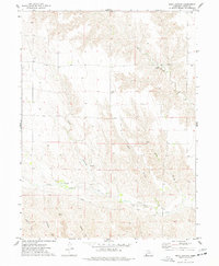 1973 Rock Canyon1977 Print · USGSDundy County in the mid-seventies shows a landscape defined by deep draws and remote plains. Researchers can trace land markers like the Highland Cem and industrial history through the PIPELINE and local Gravel Pit.
 - 1973 Map of Wauneta SE, 1977 Print
 1973 Wauneta SE1977 Print · USGSThe high plains of southwest Nebraska in the 1970s show a landscape shaped by massive drainages at the junction of four counties. Researchers can trace the layout of rural homesteads and social centers like Eden Ch and the Community Hall near Horse Canyon.
 - 1973 Map of Arrowhead Lake, 1977 Print
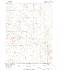 1973 Arrowhead Lake1977 Print · USGSDundy County, Nebraska, is documented here in the early seventies as a landscape of remote plains and vital water management. Genealogists and historians can trace the small settlement of Southwick or locate the rural wells and infrastructure around Arrowhead Lake.
Showing maps 1-25 of 115
Top cities of Dundy County
Frequently asked questions
- What are the different types of historical maps available for Dundy County?
- What is the oldest map of Dundy County?
- Where can I purchase historical maps of Dundy County for my home or office?
- Where can I download high-res historical maps of Dundy County?
- Are there historical topographic maps available for Dundy County?
- Is there historical aerial imagery available for Dundy County?
- Where are historical maps of Dundy County sourced from?