
1961 Map of Laird
USGS Topo · Published 1963About this map
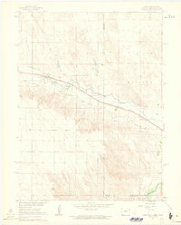
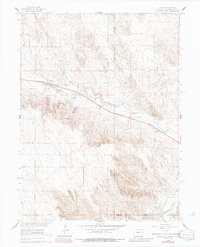
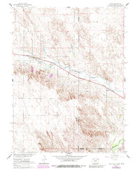
The North Fork Republican River and the Arikaree River define the hydraulic character of this high plains borderland, where the tri-state corner of Colorado, Nebraska, and Kansas meets. This early 1960s survey captures the agricultural infrastructure essential to the region, most notably the Laird Canal and Haigler Canal that parallel the river courses. The settlement of Laird serves as a focal point along the Chicago Burlington and Quincy railroad line, which provides a straight east-west transit through the river valley toward Sanborn. Genealogists and local historians will find the Hanshaw Cem located near the Nebraska-Colorado border, while the presence of a Gravel Pit and a small Landing Strip reflect the local industry and transportation needs of the era. The terrain transitions from the river bottoms to the breaks of Nutty Combe in the south, showing the distinct township and range sections marked by the Base Line.
Find a feature on this map
20 named features on this map. Tap any name to fly to it.
Don’t see what you’re looking for? This feature index may not catch every label — zoom into the map to look around manually.
Map Details
Editions of this 1961 Laird Map
4 editions found
Other maps of this area

1942 · St. Francis
USGS Topo · 1:62,500

1943 · St. Francis
USGS Topo · 1:62,500

1951 · St Francis
USGS Topo · 1:62,500

1954 · Limon
USGS Topo · 1:250,000

1954 · Sterling
USGS Topo · 1:250,000

1954 · McCook
USGS Topo · 1:250,000

1954 · Goodland
USGS Topo · 1:250,000

1956 · Goodland
USGS Topo · 1:250,000

1957 · McCook
USGS Topo · 1:250,000

1957 · Limon
USGS Topo · 1:250,000