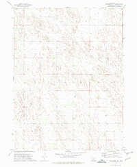
1973 Map of Benkelman NW
USGS Topo · Published 1977About this map
The rolling plains of Dundy County are defined here by a sparse but essential network of rural landmarks in the early 1970s. This survey of the northwestern corner of the region shows a landscape of agricultural utility and quiet community hubs. Centering the social and spiritual life of the area is the Pleasant Valley Ch, located near an established Cem and a lone Grave, reflecting the generational roots of the local families. The terrain is marked by numerous Well points, highlighting the critical nature of groundwater for this high plains environment. Infrastructure is modest, consisting primarily of section-line roads and a long Pipeline cutting diagonally across the northern sections, while the Community Hall serves as a central gathering point for the surrounding residents. This map offers a clear view of the rural layout before modern agricultural consolidation shifted many of these smaller community centers.
Find a feature on this map
9 named features on this map. Tap any name to fly to it.
Don’t see what you’re looking for? This feature index may not catch every label — zoom into the map to look around manually.
Map Details
Editions of this 1973 Benkelman NW Map
This is the sole edition of this map. No revisions or reprints were ever made.
Other maps of this area

1954 · McCook
USGS Topo · 1:250,000

1957 · McCook
USGS Topo · 1:250,000

1958 · McCook
USGS Topo · 1:250,000
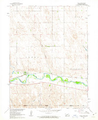
1961 · Parks
USGS Topo · 1:24,000

1961 · Benkelman
USGS Topo · 1:24,000
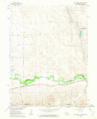
1961 · Rock Creek Lake
USGS Topo · 1:24,000
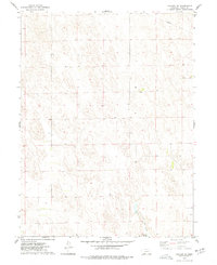
1973 · Haigler NE
USGS Topo · 1:24,000

1973 · Champion SW
USGS Topo · 1:24,000

1973 · Reservoir Lake SE
USGS Topo · 1:24,000

1973 · Ough
USGS Topo · 1:24,000