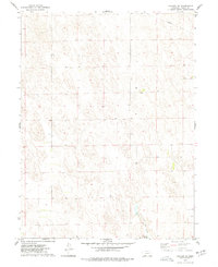
1973 Map of Haigler NE
USGS Topo · Published 1977About this map
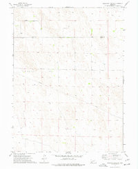
The Rock Creek State Fish Hatchery sits along the banks of Rock Creek in this portion of the Nebraska High Plains. This 1973 survey illustrates a landscape primarily defined by its hydrology and infrastructure, where the small settlement of Allston serves as a lone named point of habitation amidst the undulating terrain. A prominent Pipeline traverses the northeastern corner of the map, cutting through the section lines of Dundy County. The presence of numerous wells, such as the one simply labeled Well, indicates the vital importance of groundwater management for the region's agricultural and conservation efforts. These detailed section lines and topographical markers provide a clear view of land use and development before further modern expansion, preserving the exact layout of the plains as documented by the Geological Survey during the early 1970s.
Find a feature on this map
8 named features on this map. Tap any name to fly to it.
Don’t see what you’re looking for? This feature index may not catch every label — zoom into the map to look around manually.
Map Details
Editions of this 1973 Haigler NE Map
This is the sole edition of this map. No revisions or reprints were ever made.
Other maps of this area

1954 · McCook
USGS Topo · 1:250,000

1957 · McCook
USGS Topo · 1:250,000

1958 · McCook
USGS Topo · 1:250,000
1961 · Parks
USGS Topo · 1:24,000
1961 · Rock Creek Lake
USGS Topo · 1:24,000
1961 · Haigler
USGS Topo · 1:24,000

1973 · Champion SW
USGS Topo · 1:24,000

1973 · Reservoir Lake SE
USGS Topo · 1:24,000
1973 · Reservoir Lake SW
USGS Topo · 1:24,000
1973 · Benkelman NW
USGS Topo · 1:24,000