2010s Maps of Dundy County, Nebraska
Explore 66 historic maps of Dundy County from the 2010s. These maps offer a rare glimpse into what life looked like during the 2010s — showing old roads, neighborhoods, homes, and landmarks that have changed or disappeared over time.
Whether you're researching your family's past, planning a metal detecting trip, or studying how Dundy County's landscape evolved across the 2010s, these high-resolution maps are a powerful tool for exploring the history of this region.
- Focus on a specific era: All maps on this page are from the 2010s, giving you a focused view of this time period.
- See what’s changed: Compare century-old streets, trails, and buildings to today's modern landscape using overlays and satellite layers.
- Research with precision: Use these maps for genealogy, historical research, land use analysis, or educational projects.
- View, download, or print: Maps are fully viewable online in high resolution, and can be downloaded or printed for your own records.
Start exploring Dundy County's history through authentic maps from the 2010s. This is your window into the past.
Dundy County, NE maps
(66)- 2010 Map of Alvin, 2010 Print
 2010 Alvin2010 Print · USGSThe Colorado-Nebraska borderlands are captured here in the early twenty-first century, showing the remote agricultural landscape of Yuma County. Researchers can trace rural landmarks and family burial sites like Hughes Cemetery or the sparse settlement at Alvin.
 - 2010 Map of Wray NE, 2010 Print
 2010 Wray NE2010 Print · USGSThe high plains along the Colorado-Nebraska border appear in the early twenty-first century as a meticulously gridded landscape of agricultural production. Modern surveyors and researchers can trace the rural infrastructure along County Road RR, County Road SS, and County Road 40.
 - 2010 Map of Laird, 2010 Print
 2010 Laird2010 Print · USGSThe tri-state border region near the Nebraska panhandle comes into focus at a time when irrigation and river life defined the local economy. Genealogists and researchers can trace family landmarks like Hanshaw Cemetery or the early footprints of Laird and Sanborn.
 - 2011 Map of Wauneta SW, 2011 Print
 2011 Wauneta SW2011 Print · USGSSouthwest Nebraska's high plains are captured here in the early twenty-first century, showing a landscape shaped by a precise section-line grid and sparse water. Genealogists and local historians can locate Mount Zion Cemetery and trace the meandering path of Muddy Creek through the surrounding farmland.
 - 2011 Map of Ough, 2011 Print
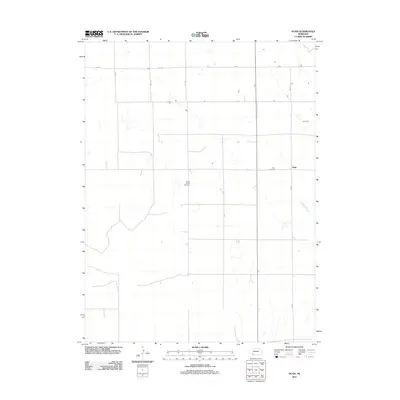 2011 Ough2011 Print · USGSDundy County, Nebraska, maintains its quiet ranching character in this early twenty-first-century survey of the High Plains. Genealogists can locate family names at Ough Cemetery and Sleepy Hollow Cemetery or trace the drainage of Muddy Creek.
 - 2011 Map of Reservoir Lake SW, 2011 Print
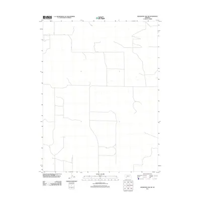 2011 Reservoir Lake SW2011 Print · USGSChase County’s high plains agricultural landscape is meticulously detailed in this early 21st-century survey of southwestern Nebraska. Genealogists and land researchers can trace the precise rural road grid, locating landmarks like 314 Ave, 727 Rd, and 315 Ave.
 - 2011 Map of Benkelman NW, 2011 Print
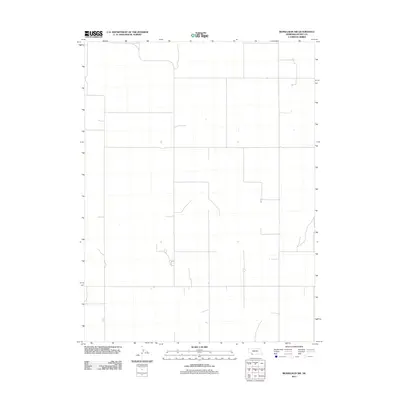 2011 Benkelman NW2011 Print · USGSCovers Dundy County, including United States, Nebraska, and other nearby areas
 - 2011 Map of Reservoir Lake SE, 2011 Print
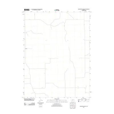 2011 Reservoir Lake SE2011 Print · USGSChase County, Nebraska, is seen here in the early twenty-first century as a landscape of structured agricultural grids and remote prairie outposts. Researchers can trace the layout of the rural settlement at Lamont and follow the section-line roads like 320 Ave and 727 Rd.
 - 2011 Map of Wauneta SE, 2011 Print
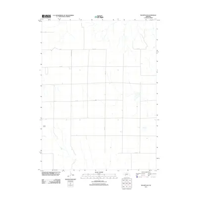 2011 Wauneta SE2011 Print · USGSChase County, Nebraska, is seen here in the early twenty-first century as a landscape of structured agricultural plots and rural flight paths. Researchers can trace the local transit network from Donze Airport along Neighborhood Rd and Co Line Rd.
 - 2011 Map of Champion SW, 2011 Print
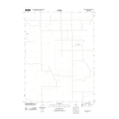 2011 Champion SW2011 Print · USGSChase County's high plains are captured here in the early twenty-first century, showing the enduring agricultural grid of western Nebraska. Genealogists and local historians can locate Hiawatha Cemetery and geographic landmarks like Old Baldy.
 - 2011 Map of Arrowhead Lake, 2011 Print
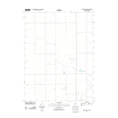 2011 Arrowhead Lake2011 Print · USGSDundy County, Nebraska, is seen here in the early twenty-first century, showcasing a managed High Plains landscape defined by water and wide-open acreage. Researchers can trace the path of Indian Creek as it flows into Arrowhead Lake and identify the location of the Arrow Head Dam.
 - 2011 Map of Max NE, 2011 Print
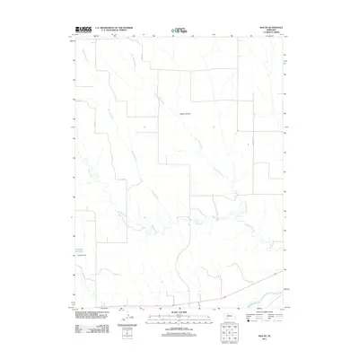 2011 Max NE2011 Print · USGSDundy County, Nebraska, is seen here in the early twenty-first century, showing a landscape shaped by the Republican River basin. Researchers can trace the water systems and local roads connecting Gardner Reservoir, Milken Canyon, and the banks of Muddy Creek.
 - 2011 Map of Haigler NW, 2011 Print
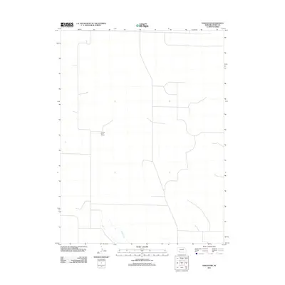 2011 Haigler NW2011 Print · USGSDundy County ranch land is captured in this modern survey of the Nebraska high plains. Researchers can locate private infrastructure like the Harford Ranch Airport or trace the riparian path of Buffalo Creek through the open range.
 - 2011 Map of Haigler NE, 2011 Print
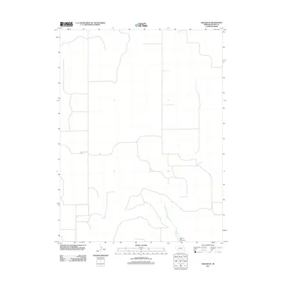 2011 Haigler NE2011 Print · USGSDundy County, Nebraska, is shown in the early twenty-first century as a landscape of structured ranchland and high-plains water management. Researchers can trace the path of Rock Creek and locate the Rock Creek State Fish Hatchery in this rural corner of the state.
 - 2011 Map of Rock Canyon, 2011 Print
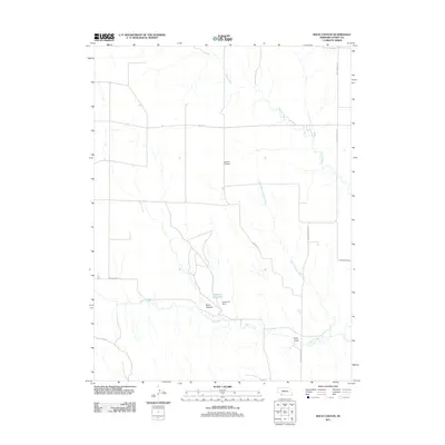 2011 Rock Canyon2011 Print · USGSDundy County, Nebraska, is shown in the early 2010s as a land defined by its vital creek systems and agricultural grid. Local researchers can trace the course of Muddy Creek or locate landmarks like the Highland Cemetery and Anderson Dam.
 - 2011 Map of Benkelman, 2011 Print
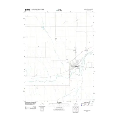 2011 Benkelman2011 Print · USGSBenkelman and the Republican River valleys are captured here in the early twenty-first century as the region maintains its role as a southwestern Nebraska hub. Genealogists and local historians can locate the Benkelman Cemetery, the Benkelman Post Office, and the small settlement of Doane.
 - 2011 Map of Parks, 2011 Print
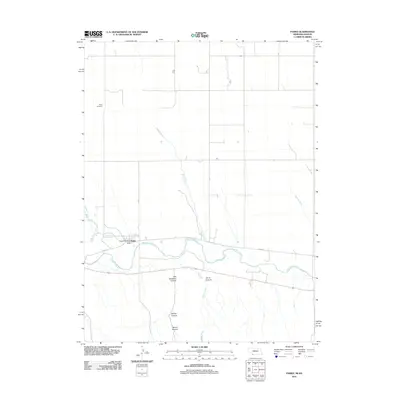 2011 Parks2011 Print · USGSThe Republican River valley near the Nebraska-Kansas border is shown here at the start of the 2010s. Researchers can locate the Parks Post Office, trace family roots at Parks Cemetery, and explore family-named landmarks like Will Stanford Canyon.
 - 2011 Map of Max, 2011 Print
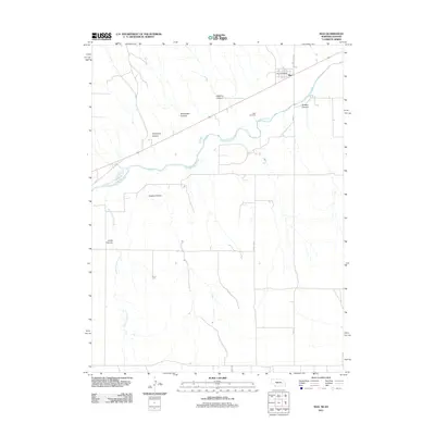 2011 Max2011 Print · USGSThe Republican River valley in southwest Nebraska is documented here during the early twenty-first century. Genealogists and local researchers can locate the Max Cemetery and Max Post Office, or trace the rugged drainages of Jones Canyon Creek and Boston Canyon.
 - 2011 Map of Max SE, 2011 Print
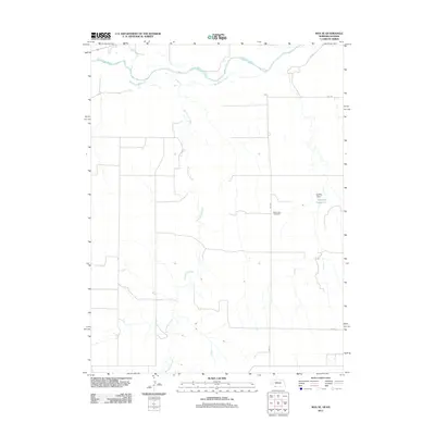 2011 Max SE2011 Print · USGSThe high plains of the Nebraska-Kansas border come into focus in the early 2010s, where rural life centers on the river valleys. Local researchers can locate the West Union Cemetery and trace the winding course of the Republican River and Burntwood Creek.
 - 2011 Map of Rock Creek Lake, 2011 Print
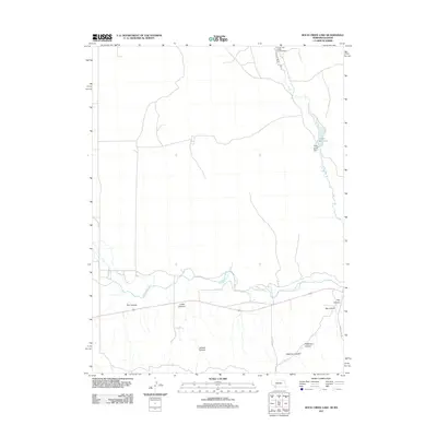 2011 Rock Creek Lake2011 Print · USGSCheyenne County as it appeared in the early 2010s shows a landscape shaped by the Republican River and its many feeder canyons. Genealogists and local historians can trace the paths of Hester Rd and locate the Rock Creek State Fish Hatchery near the water.
 - 2011 Map of Haigler, 2011 Print
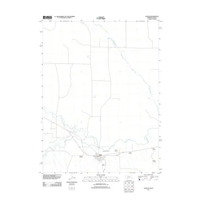 2011 Haigler2011 Print · USGSHaigler, Nebraska, is shown in the early twenty-first century at the high-plains confluence of three rivers. Researchers can trace the local grid and landmarks like the Haigler Post Office or map the terrain of McCann Canyon and Buffalo Creek.
 - 2013 Map of Wray NE, 2013 Print
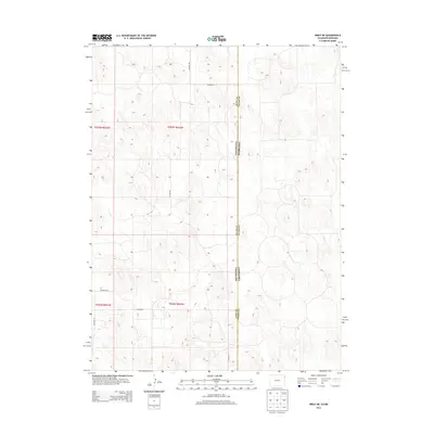 2013 Wray NE2013 Print · USGSThe Colorado and Nebraska borderlands are captured here in the early twenty-first century, showing a remote agricultural landscape. Researchers can trace rural property access and county lines via Co Road RR, Co Road 46, and the Yuma Co Dundy Co boundary.
 - 2013 Map of Alvin, 2013 Print
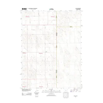 2013 Alvin2013 Print · USGSThe High Plains of northeast Colorado come into focus in the early 2010s at the border with Nebraska. Family historians can trace the rural road network surrounding Alvin, including Co Road 51 and Co Road RR, as it was surveyed in the modern era.
 - 2013 Map of Laird, 2013 Print
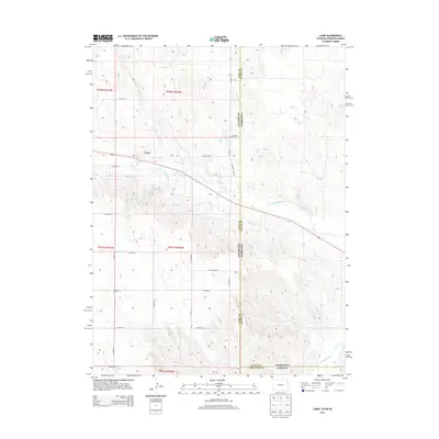 2013 Laird2013 Print · USGSThe tri-state border of Colorado, Nebraska, and Kansas is documented here in the early twenty-first century, showing a landscape shaped by river valleys and irrigation. Researchers can trace the path of the Laird Canal near Laird or locate the Hanshaw Cem along the state line.
 - 2014 Map of Arrowhead Lake, 2014 Print
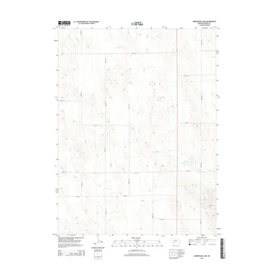 2014 Arrowhead Lake2014 Print · USGSDundy County land patterns and rural infrastructure are clearly preserved in this mid-2010s survey of Nebraska's western plains. Genealogists and researchers can trace the section-line roads and remote geography near Arrow Head Lake and Indian Cr.
Showing maps 1-25 of 66
Top cities of Dundy County
Frequently asked questions
- What are the different types of historical maps available for Dundy County?
- What is the oldest map of Dundy County?
- Where can I purchase historical maps of Dundy County for my home or office?
- Where can I download high-res historical maps of Dundy County?
- Are there historical topographic maps available for Dundy County?
- Is there historical aerial imagery available for Dundy County?
- Where are historical maps of Dundy County sourced from?