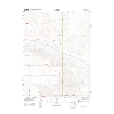
2013 Map of Laird
USGS Topo · Published 2013About this map
The high plains of the tri-state border region converge in this survey, where the N Fork Republican River and Arikaree River define the local drainage patterns. Irrigation infrastructure is central to the landscape, evidenced by the Laird Canal and Haigler Canal that follow the contours of the river valley. The small settlement of Laird serves as a primary reference point in this agricultural corridor, situated near the intersection of several county roads and the winding path of Rush Creek. Genealogists and local historians will find the Hanshaw Cem located near the Colorado and Nebraska border, a significant landmark in a region where three states—Colorado, Nebraska, and Kansas—meet. The map meticulously records the township and range system, including t001n r042w and t002n r042w, providing a clear framework for land ownership research.
Find a feature on this map
24 named features on this map. Tap any name to fly to it.
Don’t see what you’re looking for? This feature index may not catch every label — zoom into the map to look around manually.
Map Details
Editions of this 2013 Laird Map
This is the sole edition of this map. No revisions or reprints were ever made.
Other maps of this area

1942 · St. Francis
USGS Topo · 1:62,500

1943 · St. Francis
USGS Topo · 1:62,500

1951 · St Francis
USGS Topo · 1:62,500

1954 · Limon
USGS Topo · 1:250,000

1954 · Sterling
USGS Topo · 1:250,000

1954 · McCook
USGS Topo · 1:250,000

1954 · Goodland
USGS Topo · 1:250,000

1956 · Goodland
USGS Topo · 1:250,000

1957 · McCook
USGS Topo · 1:250,000

1957 · Limon
USGS Topo · 1:250,000