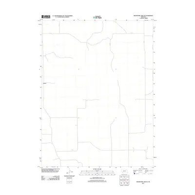
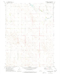
2011 Map of Reservoir Lake SE
USGS Topo · Published 2011About this map
Lamont anchors this portion of Chase County, representing a modest rural settlement within a landscape defined by an orderly grid of section lines and gravel roads. Surveyed by the U.S. Geological Survey, the area is characterized by its agricultural layout, where thoroughfares such as 320 Ave and 727 Rd facilitate travel across the plains. Other primary routes like 321 Ave, 324 Ave, and 326 Ave divide the territory into the traditional squares of the American West. The map captures the quiet, structured nature of Nebraska’s high plains in the early 21st century, providing a clear view of the spatial relationships between remote homesteads and the road network that connects them.
Find a feature on this map
6 named features on this map. Tap any name to fly to it.
Don’t see what you’re looking for? This feature index may not catch every label — zoom into the map to look around manually.
Map Details
Editions of this 2011 Reservoir Lake SE Map
This is the sole edition of this map. No revisions or reprints were ever made.
Other maps of this area

1954 · McCook
USGS Topo · 1:250,000

1957 · McCook
USGS Topo · 1:250,000

1958 · McCook
USGS Topo · 1:250,000

1973 · Champion
USGS Topo · 1:24,000
1973 · Haigler NE
USGS Topo · 1:24,000

1973 · Champion SW
USGS Topo · 1:24,000

1973 · Reservoir Lake SE
USGS Topo · 1:24,000
1973 · Reservoir Lake SW
USGS Topo · 1:24,000
1973 · Benkelman NW
USGS Topo · 1:24,000
1973 · Arterburn Lake
USGS Topo · 1:24,000