
1973 Map of Champion
USGS Topo · Published 1977About this map
Frenchman Creek defines the local geography of Chase County, winding through the valley and feeding into Reservoir Pond just east of the village of Champion. This mid-1970s land-use survey reveals the importance of water management in this high plains landscape, featuring the Imperial Powerplant and a Gaging Sta along the creek. The area near the settlement is anchored by the Champion State Recreation Area, a focal point for the community alongside the local Springs. Away from the water, the terrain transitions into the distinct topography of Sand Draw and Foerster Branch. Genealogists and local historians can locate the Zion Cem south of the creek, while several Gravel Pit sites indicate the rural extraction industry of the era. The mapping also captures a network of field lines and fences, documenting the agricultural structure of the Nebraska panhandle during this period.
Find a feature on this map
12 named features on this map. Tap any name to fly to it.
Don’t see what you’re looking for? This feature index may not catch every label — zoom into the map to look around manually.
Map Details
Editions of this 1973 Champion Map
This is the sole edition of this map. No revisions or reprints were ever made.
Other maps of this area

1954 · McCook
USGS Topo · 1:250,000

1957 · McCook
USGS Topo · 1:250,000

1958 · McCook
USGS Topo · 1:250,000
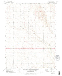
1973 · Chase
USGS Topo · 1:24,000

1973 · Enders
USGS Topo · 1:24,000

1973 · Champion SW
USGS Topo · 1:24,000

1973 · Imperial
USGS Topo · 1:24,000

1973 · Reservoir Lake SE
USGS Topo · 1:24,000

1973 · Ough
USGS Topo · 1:24,000
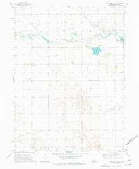
1973 · Reservoir Lake
USGS Topo · 1:24,000