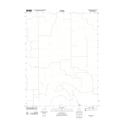
2011 Map of Haigler NE
USGS Topo · Published 2011About this map
Rock Creek State Fish Hatchery anchors the southeastern corner of this Dundy County landscape, representing a specialized intersection of local conservation and infrastructure. The area is defined by the winding course of Rock Creek, which carves through the High Plains terrain of southwestern Nebraska. Beyond this watercourse, the land is partitioned by a strictly rectangular network of section roads, illustrating the enduring influence of the Public Land Survey System on the region's agricultural layout. This 2011 survey by the U.S. Geological Survey provides a precise view of the rural township's development, where modern irrigation and field boundaries follow the rigid geometry of the Great Plains homesteading era.
Find a feature on this map
2 named features on this map. Tap any name to fly to it.
Don’t see what you’re looking for? This feature index may not catch every label — zoom into the map to look around manually.
Map Details
Editions of this 2011 Haigler NE Map
This is the sole edition of this map. No revisions or reprints were ever made.
Other maps of this area

1954 · McCook
USGS Topo · 1:250,000

1957 · McCook
USGS Topo · 1:250,000

1958 · McCook
USGS Topo · 1:250,000
1961 · Parks
USGS Topo · 1:24,000
1961 · Rock Creek Lake
USGS Topo · 1:24,000
1961 · Haigler
USGS Topo · 1:24,000
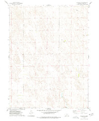
1973 · Haigler NE
USGS Topo · 1:24,000

1973 · Champion SW
USGS Topo · 1:24,000

1973 · Reservoir Lake SE
USGS Topo · 1:24,000
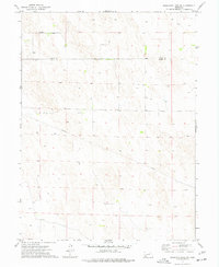
1973 · Reservoir Lake SW
USGS Topo · 1:24,000