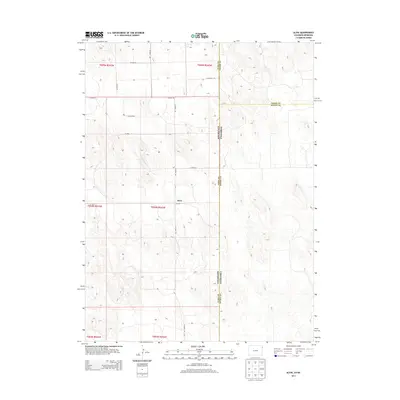
2013 Map of Alvin
USGS Topo · Published 2013About this map
Alvin sits at the intersection of several county roads in the northeast corner of Colorado, representing a quiet agricultural hub near the tri-state junction. The landscape is defined by its rectilinear section lines and a systematic grid of rural routes including Co Road 51 and Co Road RR. This 2013 survey illustrates the sparse, purposeful settlement pattern of the High Plains, where the border between Yuma County and Chase County marks the transition from Colorado into Nebraska. The map detail highlights the importance of local infrastructure like Co Road 54 and Co Road 55 in connecting isolated farmsteads across the township blocks of T004N R042W and T005N R042W.
Find a feature on this map
20 named features on this map. Tap any name to fly to it.
Don’t see what you’re looking for? This feature index may not catch every label — zoom into the map to look around manually.
Map Details
Editions of this 2013 Alvin Map
This is the sole edition of this map. No revisions or reprints were ever made.
Other maps of this area

1954 · Sterling
USGS Topo · 1:250,000

1954 · McCook
USGS Topo · 1:250,000

1957 · McCook
USGS Topo · 1:250,000

1958 · McCook
USGS Topo · 1:250,000

1958 · Sterling
USGS Topo · 1:250,000

1971 · Alvin NW
USGS Topo · 1:24,000

1971 · Alvin SW
USGS Topo · 1:24,000

1971 · Alvin
USGS Topo · 1:24,000

1971 · Wray NE
USGS Topo · 1:24,000

1971 · Alvin NE
USGS Topo · 1:24,000