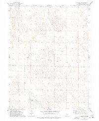
1973 Map of Haigler NW
USGS Topo · Published 1977About this map
Buffalo Creek winds through the southwestern corner of this Dundy County landscape, marked by a notable Spillway that points to the managed water resources of this plains environment in the early 1970s. The terrain is defined by a complex network of depressions and contours typical of the Nebraska panhandle, where land use is split between wide-open ranching and isolated infrastructure. Transportation and utility features like the Harford Landing Field and a northern Substation illustrate the area's modernization, while the small settlement at Sharp and various scattered wells reflect the sparse but persistent human footprint on the land. This survey provides a clear look at the intersection of natural drainage patterns and the technical improvements made to support local aviation and agriculture.
Find a feature on this map
8 named features on this map. Tap any name to fly to it.
Don’t see what you’re looking for? This feature index may not catch every label — zoom into the map to look around manually.
Map Details
Editions of this 1973 Haigler NW Map
This is the sole edition of this map. No revisions or reprints were ever made.
Other maps of this area

1954 · Sterling
USGS Topo · 1:250,000

1954 · McCook
USGS Topo · 1:250,000

1957 · McCook
USGS Topo · 1:250,000

1958 · McCook
USGS Topo · 1:250,000

1958 · Sterling
USGS Topo · 1:250,000
1961 · Rock Creek Lake
USGS Topo · 1:24,000
1961 · Haigler
USGS Topo · 1:24,000

1961 · Laird
USGS Topo · 1:24,000

1971 · Alvin
USGS Topo · 1:24,000

1971 · Wray NE
USGS Topo · 1:24,000