Old Maps of Beatrice, Nebraska for Academic Research
Study the evolution of Beatrice with 24 high-resolution historic maps. Whether you're teaching, researching, or modeling changes in land use, these maps provide essential visual documentation of urban, environmental, and geographic change.
- Analyze long-term change: Track patterns in development, transportation, and natural features.
- Ideal for environmental or urban studies: Support academic projects with primary historical map data.
- Use in the classroom or lab: Educators and researchers rely on these maps to bring historical context to life.
These maps are a powerful tool for teaching, research, and visualizing how Beatrice has changed over the decades.
Beatrice, NE maps
(24)- 1955 Map of Lincoln, 1967 Print
 1955 Lincoln1967 Print · USGSSoutheast Nebraska in the mid-fifties presents a landscape of thriving railroad towns and the expanding footprint of the capital city. Researchers can trace the legacy of the pioneer era at the Homestead National Monument of America or locate mid-century military infrastructure like Lincoln Air Force Base.5 unique versions available
 - 1957 Map of Lincoln
 1957 Lincoln1957 Print · USGSSoutheastern Nebraska at mid-century shows a landscape of thriving rail towns and expanding infrastructure centered on Lincoln. Researchers can trace the path of the Chicago Burlington and Quincy railroad through communities like Weeping Water, Fairmont, and Seward.
 - 1957 Map of Beatrice West, 1958 Print
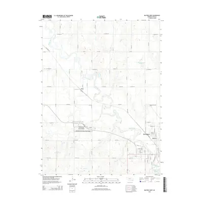
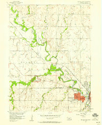 1957 Beatrice West1958 Print · USGSGage County in the late fifties centers on the winding river valley as it approaches the city of Beatrice. Genealogists and historians can trace many local landmarks including Homestead National Monument of America, Hoag, and rural sites like Freeman Sch.2 unique versions available
 - 1957 Map of Beatrice East, 1959 Print
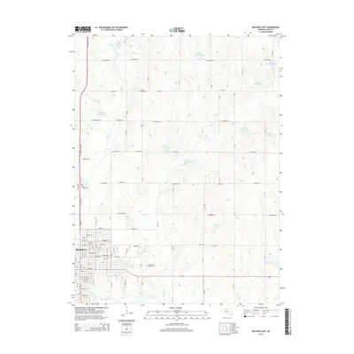
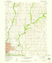 1957 Beatrice East1959 Print · USGSBeatrice and the surrounding Gage County townships appear here during the late fifties as a thriving prairie hub. Genealogists can locate family names at Evergreen Home Cemetery or trace the rural school system through sites like Mt Olive Sch and Logan Center Sch.2 unique versions available
 - 1958 Map of Lincoln
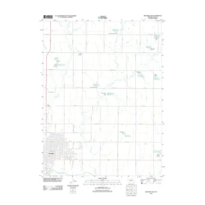
 1958 Lincoln1958 Print · USGSSoutheast Nebraska at the end of the 1950s shows a region defined by agricultural trade and the expansion of the state capital. Genealogists can trace family footprints across the Blue Valley and locate landmarks like the Lincoln AFB or the U.S. Veterans Hospital.
 - 1964 Map of Blue Springs, 1965 Print
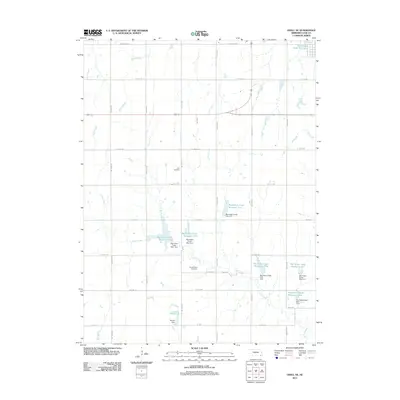
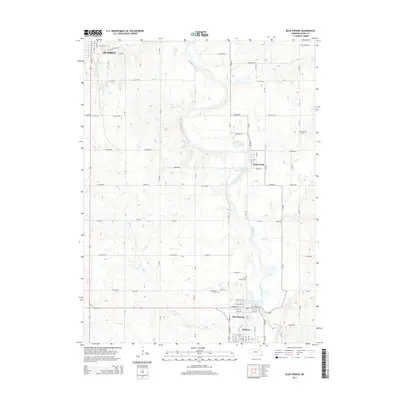
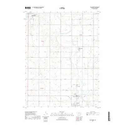
 1964 Blue Springs1965 Print · USGSGage County in the mid-1960s reveals a landscape where the Big Blue River snakes between industrial hubs and rural townships. Researchers can trace historic rail corridors and local heritage sites like St Marys Cemetery, Maple Grove School, and the riverfront operations in Holmesville.
 - 1970 Map of Diller NE, 1971 Print
 1970 Diller NE1971 Print · USGSGage County agriculture and rail life are at the forefront of this 1970s survey. Genealogists and historians can trace the Chicago Rock Island and Pacific tracks through Ellis, finding local landmarks like Ellis Cem and Pleasant Hill Cem.2 unique versions available
 - 1986 Map of Beatrice
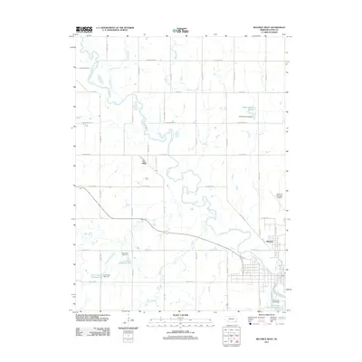
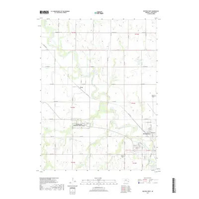
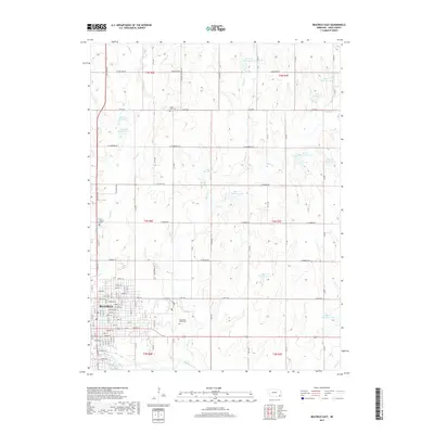
 1986 Beatrice1986 Print · USGSSoutheast Nebraska and the Kansas borderlands appear in the mid-1980s as a thriving agricultural region centered on the Big Blue River. Researchers can trace historic rail routes like the Burlington Northern through hubs such as Beatrice and Pawnee City.2 unique versions available
 - 2011 Map of Odell NE, 2011 Print
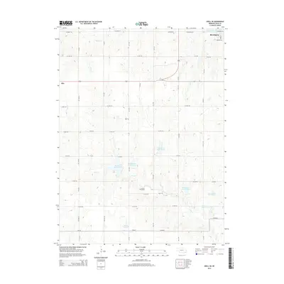
 2011 Odell NE2011 Print · USGSCovers Beatrice, including Gage County, United States, and other nearby areas
 - 2011 Map of Beatrice West, 2011 Print
 2011 Beatrice West2011 Print · USGSCovers Beatrice, including Glenover, Hoag, and other nearby areas
 - 2011 Map of Beatrice East, 2011 Print
 2011 Beatrice East2011 Print · USGSCovers Beatrice, including Gage County, United States, and other nearby areas
 - 2011 Map of Blue Springs, 2011 Print
 2011 Blue Springs2011 Print · USGSCovers Beatrice, including Wymore, Blue Springs, and other nearby areas
 - 2014 Map of Beatrice East, 2014 Print
 2014 Beatrice East2014 Print · USGSCovers Beatrice, including Gage County, United States, and other nearby areas
 - 2014 Map of Odell NE, 2014 Print
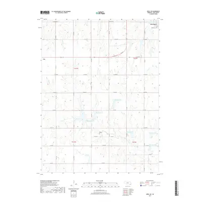
 2014 Odell NE2014 Print · USGSCovers Beatrice, including Gage County, United States, and other nearby areas
 - 2014 Map of Beatrice West, 2014 Print
 2014 Beatrice West2014 Print · USGSCovers Beatrice, including Glenover, Hoag, and other nearby areas
 - 2014 Map of Blue Springs, 2014 Print
 2014 Blue Springs2014 Print · USGSCovers Beatrice, including Wymore, Blue Springs, and other nearby areas
 - 2017 Map of Beatrice West, 2017 Print
 2017 Beatrice West2017 Print · USGSCovers Beatrice, including Glenover, Hoag, and other nearby areas
 - 2017 Map of Blue Springs, 2017 Print
 2017 Blue Springs2017 Print · USGSCovers Beatrice, including Wymore, Blue Springs, and other nearby areas
 - 2017 Map of Odell NE, 2017 Print
 2017 Odell NE2017 Print · USGSCovers Beatrice, including Gage County, United States, and other nearby areas
 - 2017 Map of Beatrice East, 2017 Print
 2017 Beatrice East2017 Print · USGSCovers Beatrice, including Gage County, United States, and other nearby areas
 - 2021 Map of Beatrice East, 2021 Print
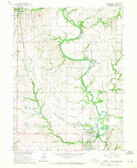
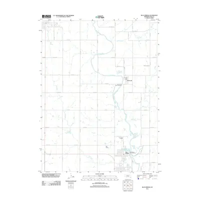
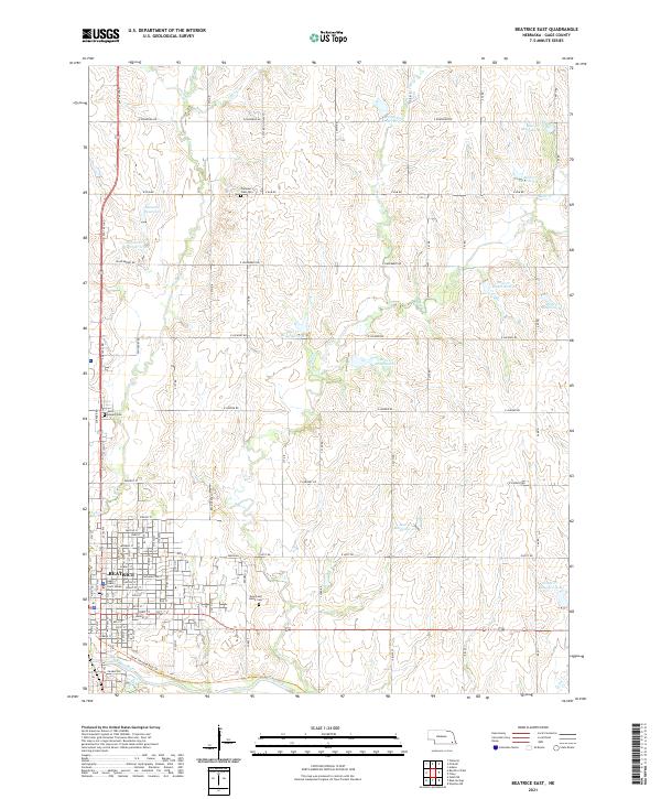 2021 Beatrice East2021 Print · USGSBeatrice and its rural Gage County surrounds are shown in this contemporary topographical view. Local history researchers can trace the city's development near the Big Blue River and locate family plots in Evergreen Home Cem or Pleasant View Cem.
 - 2021 Map of Beatrice West, 2021 Print
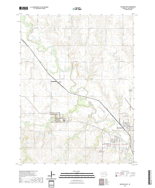 2021 Beatrice West2021 Print · USGSThe area west of Beatrice is captured here in the early twenty-first century, showing the intersection of local industry and federal history. Genealogists and researchers can trace the Homestead National Monument and the Freeman Grave Site alongside the rural settlement of Hoag.
 - 2021 Map of Blue Springs, 2021 Print
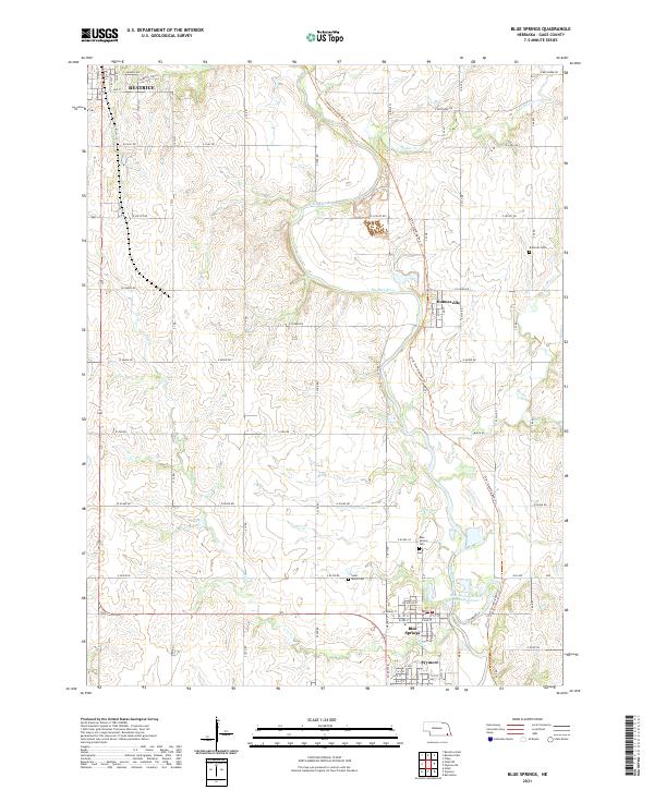 2021 Blue Springs2021 Print · USGSGage County's river-valley settlements are captured here in the early twenty-first century as the Big Blue River winds through the landscape. Genealogists and local historians can trace legacy sites like Blue Springs Cem, Saint Marys Cem, and the path of the Chief Standing Bear Trl.
 - 2021 Map of Odell NE, 2021 Print
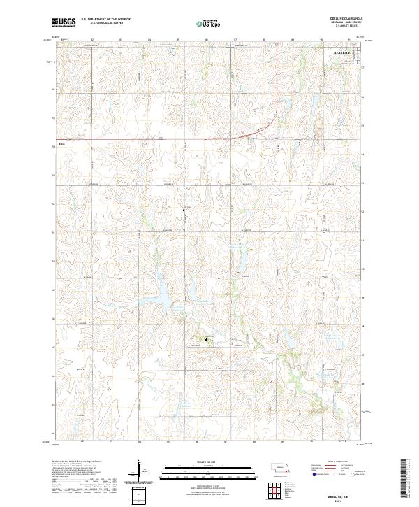 2021 Odell NE2021 Print · USGSThe rural outskirts of Gage County come into focus during the early twenty-first century as agricultural lands and modern water projects intersect. Researchers can locate family landmarks such as Ellis Cem and Anyon Cem or trace the drainage of Sicily Cr.
End of results
Showing maps 1-24 of 24
Top cities near Beatrice
- Wilber historical maps
- Wymore historical maps
- De Witt historical maps
- Rockford historical maps
- Odell historical maps
- Blue Springs historical maps
See more
Top neighborhoods of Beatrice
Frequently asked questions
- What are the different types of historical maps available for Beatrice?
- What is the oldest map of Beatrice?
- Where can I purchase historical maps of Beatrice for my home or office?
- Where can I download high-res historical maps of Beatrice?
- Are there historical topographic maps available for Beatrice?
- Is there historical aerial imagery available for Beatrice?
- Where are historical maps of Beatrice sourced from?