
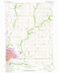
1957 Map of Beatrice East
USGS Topo · Published 1959About this map
The city of Beatrice serves as a hub of civic and institutional life on the plains during the late 1950s. The landscape is characterized by its organized network of rural schoolhouses, including Excelsior Sch, Mumford Sch, and Fairview Sch, which served the surrounding farming townships of Midland and Logan. Significant local landmarks include the sprawling Beatrice State Home and the Beatrice Municipal Airport, while the eastern edge of the city features the quiet grounds of Evergreen Home Cemetery.
Find a feature on this map
48 named features on this map. Tap any name to fly to it.
Don’t see what you’re looking for? This feature index may not catch every label — zoom into the map to look around manually.
Map Details
Editions of this 1957 Beatrice East Map
2 editions found
Other maps of this area

1955 · Lincoln
USGS Topo · 1:250,000

1957 · Lincoln
USGS Topo · 1:250,000

1957 · Clatonia
USGS Topo · 1:24,000

1957 · Beatrice West
USGS Topo · 1:24,000

1958 · Lincoln
USGS Topo · 1:250,000

1964 · Pickrell
USGS Topo · 1:24,000

1964 · Blue Springs
USGS Topo · 1:24,000

1965 · Adams
USGS Topo · 1:24,000

1970 · Diller NE
USGS Topo · 1:24,000
1970 · Filley
USGS Topo · 1:24,000