2020s Maps of Sioux County, Nebraska
Explore 56 historic maps of Sioux County from the 2020s. These maps offer a rare glimpse into what life looked like during the 2020s — showing old roads, neighborhoods, homes, and landmarks that have changed or disappeared over time.
Whether you're researching your family's past, planning a metal detecting trip, or studying how Sioux County's landscape evolved across the 2020s, these high-resolution maps are a powerful tool for exploring the history of this region.
- Focus on a specific era: All maps on this page are from the 2020s, giving you a focused view of this time period.
- See what’s changed: Compare century-old streets, trails, and buildings to today's modern landscape using overlays and satellite layers.
- Research with precision: Use these maps for genealogy, historical research, land use analysis, or educational projects.
- View, download, or print: Maps are fully viewable online in high resolution, and can be downloaded or printed for your own records.
Start exploring Sioux County's history through authentic maps from the 2020s. This is your window into the past.
Sioux County, NE maps
(56)- 2021 Map of Dry Sheep Creek, 2021 Print
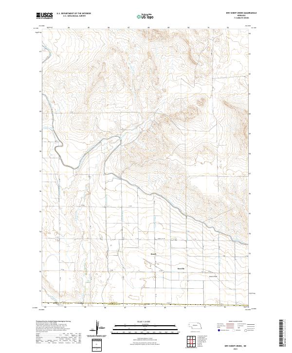 2021 Dry Sheep Creek2021 Print · USGSSioux County's panhandle landscape is defined by its vital water networks in the 2020s. Genealogists and local historians can trace rural settlements like Roach and Scoville alongside the massive engineering of the Interstate Canal and Dutch Flats.
 - 2021 Map of Kilpatrick Lake NW, 2021 Print
 2021 Kilpatrick Lake NW2021 Print · USGSNorthwestern Box Butte County comes into focus in this recent survey of Nebraska's high plains drainage. Trace the winding paths of the N Br Snake Cr and Mud Springs Cr as they cut through the section-line roads like Ore Rd and Henderson.
 - 2021 Map of Whistle Creek SW, 2021 Print
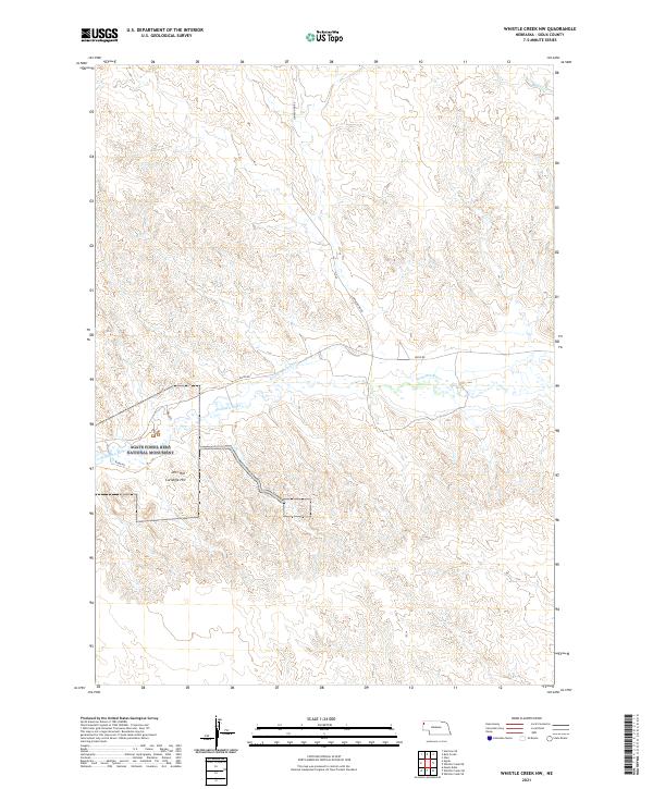
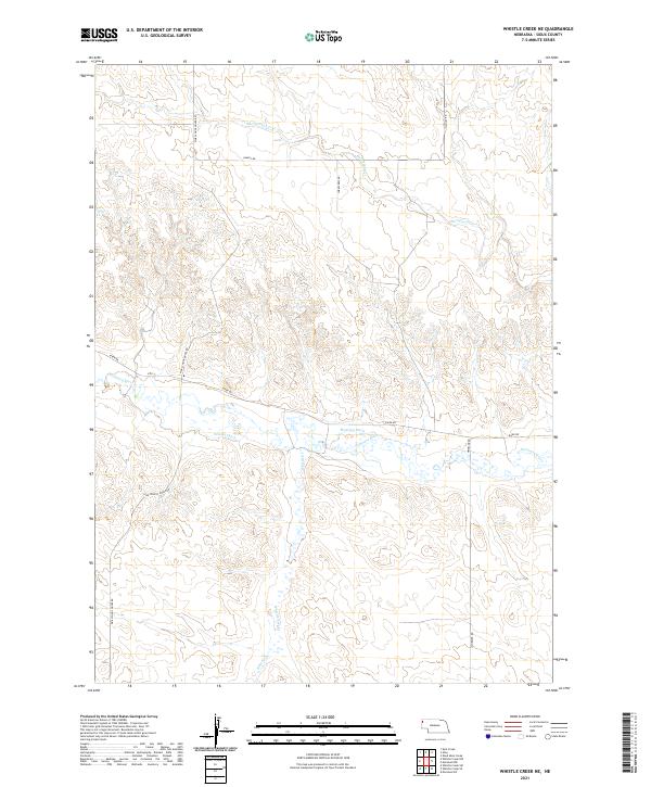
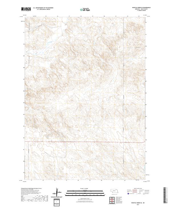
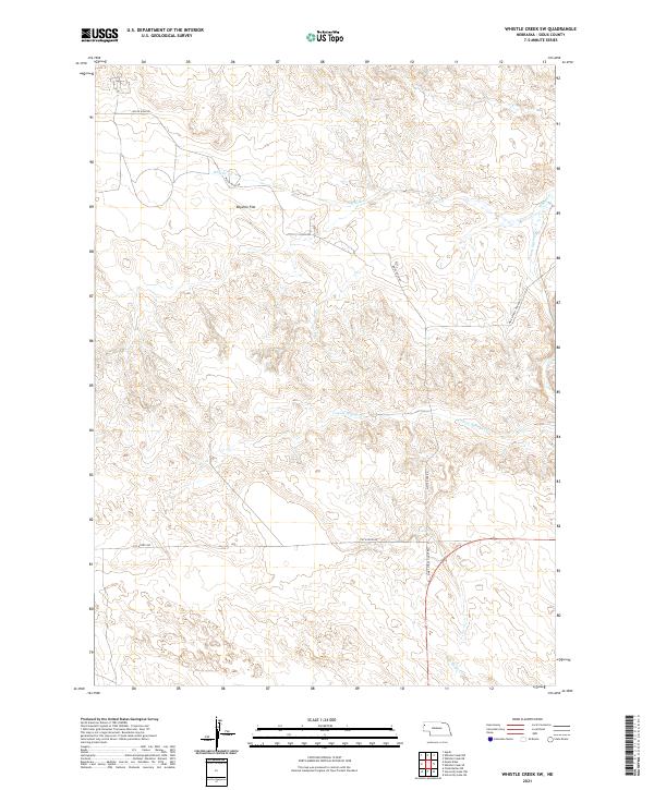 2021 Whistle Creek SW2021 Print · USGSSioux County's high plains are captured here in the early 2020s, showing a remote landscape of ranch roads and winding prairie streams. Researchers can trace the drainage of Whistle Cr and locate rural landmarks like Royville Flat and Pink School House Rd.
 - 2021 Map of University Lake SE, 2021 Print
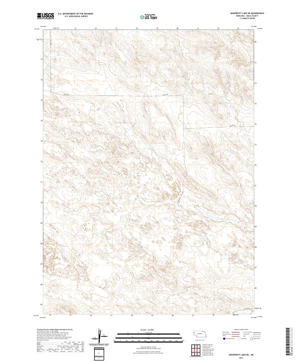
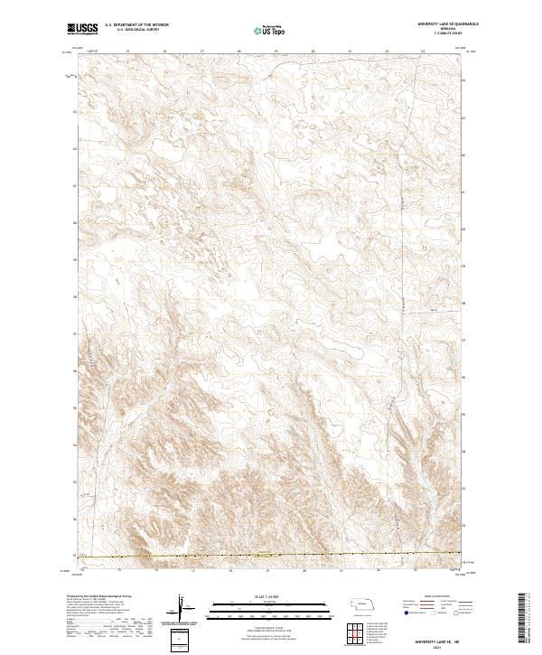 2021 University Lake SE2021 Print · USGSSioux County and the Scotts Bluff County line are captured here in the early twenty-first century, showing a landscape of precise land divisions and rural transit. Genealogists and historians can trace the paths of Sugar Factory Rd and Ore Rd near the banks of Winters Cr.
 - 2021 Map of Bodarc, 2021 Print
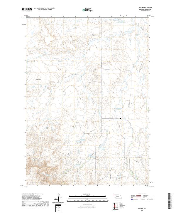 2021 Bodarc2021 Print · USGSSioux County ranch lands in the early 2020s are defined by isolated water catchments and the deep cuts of Sowbelly Canyon. Researchers can trace the layout of early rural infrastructure at Bodarc Cem or locate the sprawling Warbonnet Cr drainage.
 - 2021 Map of Whistle Creek NW, 2021 Print
 2021 Whistle Creek NW2021 Print · USGSSioux County's high plains and the winding Niobrara River are documented in this recent survey. Researchers can trace the boundaries of Agate Fossil Beds National Monument and locate landmarks like Carnegie Hill and the Harris Neece Canal.
 - 2021 Map of Montrose, 2021 Print
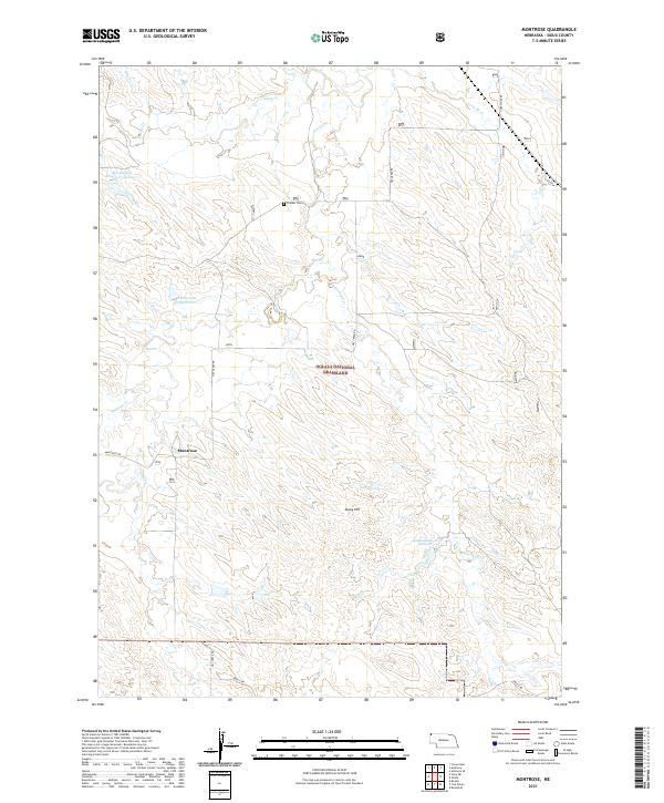 2021 Montrose2021 Print · USGSHigh plains ranching and public lands in Sioux County come into focus during this modern era. Genealogists and local historians can trace the rural landscape around Montrose, find the Pioneer Cem, and locate landmarks like Stony Hill and Semroska Reservoir.
 - 2021 Map of Erdman Ranch, 2021 Print
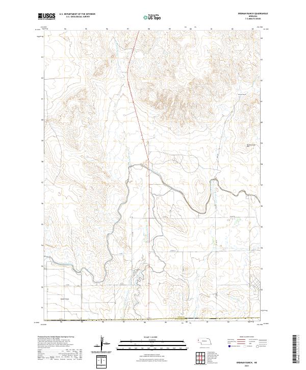 2021 Erdman Ranch2021 Print · USGSThe ranching and irrigation landscapes of Sioux County are captured here in the early twenty-first century. Researchers can trace the complex water systems of the Interstate Canal and find family-named locations such as Erdman Ranch and Dutch Flats.
 - 2021 Map of Harrison SW, 2021 Print
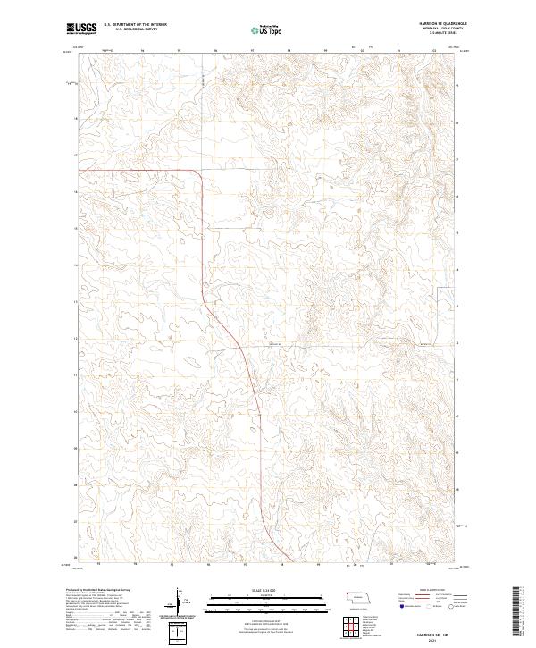
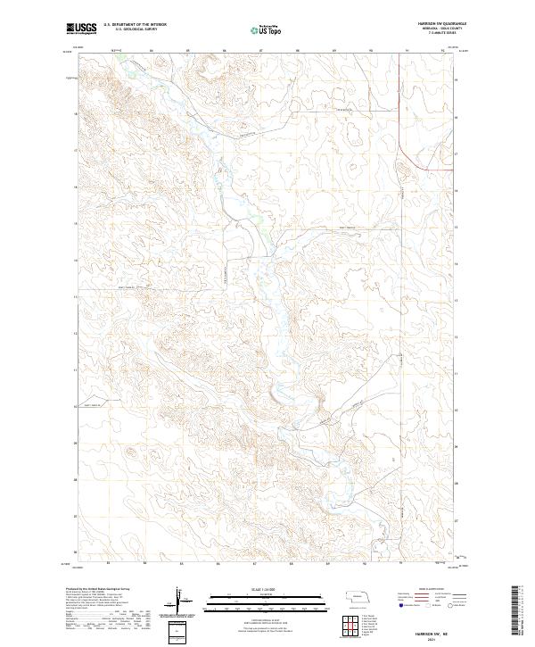 2021 Harrison SW2021 Print · USGSSioux County in 2021 reflects the enduring ranching character of the Nebraska Panhandle. Researchers can trace the path of the Niobrara River and locate vital water infrastructure like the Lakotah Canal along Morrill Rd.
 - 2021 Map of Marsland SW, 2021 Print
 2021 Marsland SW2021 Print · USGSThe Nebraska panhandle at the Sioux and Box Butte county line is captured in this recent survey of rural prairie. Genealogists and historians can trace local family roots through the Bohemian Pioneer Cem and a grid of rural roads like Carlson Rd and Dodge Rd.
 - 2021 Map of Marsland NW, 2021 Print
 2021 Marsland NW2021 Print · USGSDawes County cattle country and the high plains of western Nebraska appear here in the early twenty-first century. Researchers can trace land ownership patterns and local landmarks like Pine Ridge, Morava Rd, and the meandering Niobrara River.
 - 2021 Map of Harrison East, 2021 Print
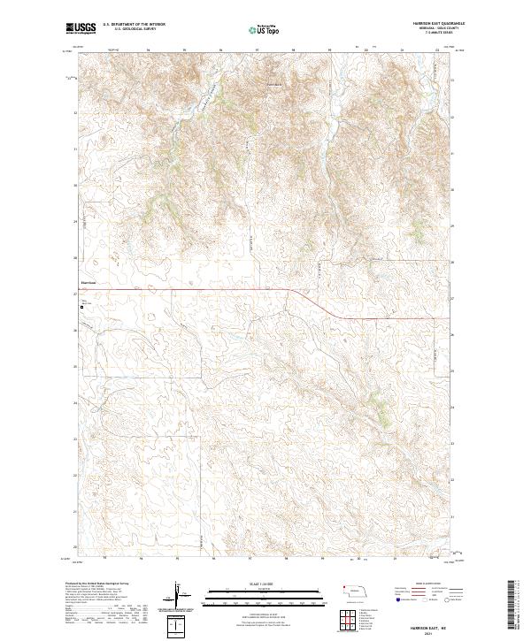 2021 Harrison East2021 Print · USGSHarrison and the high ranching country of Sioux County are captured here in the modern era. Genealogists and local historians can trace the roads and drainages of the Pine Ridge, from Saint Mary Cem to the depths of Sowbelly Canyon.
 - 2021 Map of Kyle Creek, 2021 Print
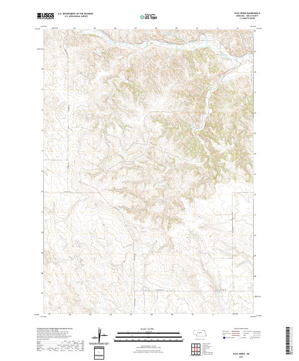 2021 Kyle Creek2021 Print · USGSNorthwestern Nebraska’s high plains and the valley of the White River are mapped here as they appeared in the early 2020s. Genealogists and land researchers can trace property boundaries along Andrews Rd, Buckley Rd, and the banks of Kyle Cr.
 - 2021 Map of Whistle Creek NE, 2021 Print
 2021 Whistle Creek NE2021 Print · USGSSioux County's ranching country is shown in this recent survey, centered on the river valley and its irrigation networks. Genealogists and researchers can trace the paths of Pink School House Rd and Sandoz Ditch near the Niobrara River.
 - 2021 Map of Mount Edna, 2021 Print
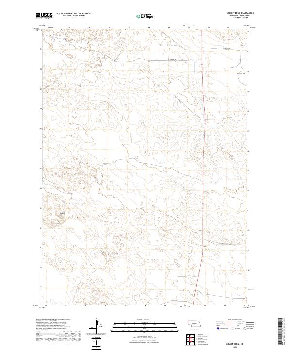 2021 Mount Edna2021 Print · USGSSioux County's high plains and cattle country are captured here in the early twenty-first century. Researchers can trace the rugged local geography around Mt Edna and the open stretches of Rayville Flat via remote routes like Murphy Rd.
 - 2021 Map of Agate NW, 2021 Print
 2021 Agate NW2021 Print · USGSHigh plains ranching country in western Nebraska is captured here during the early twenty-first century. Researchers can trace the path of the Niobrara River and follow rural access routes like Morrill Rd and Panhandle Rd across the open landscape.
 - 2021 Map of Chalk Buttes NE, 2021 Print
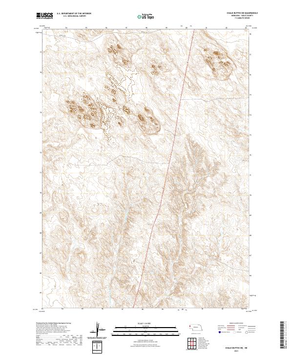 2021 Chalk Buttes NE2021 Print · USGSWestern Nebraska's high plains are documented here in the early 2020s, showing a landscape defined by natural drainages and survey lines. Researchers can trace the path of Dry Spottedtail Cr and the remote alignment of Murphys Rd through the panhandle.
 - 2021 Map of Agate SW, 2021 Print
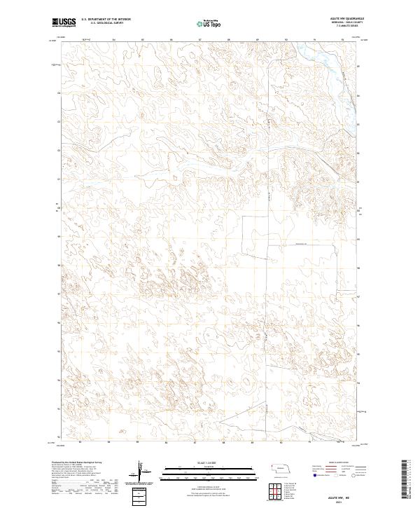
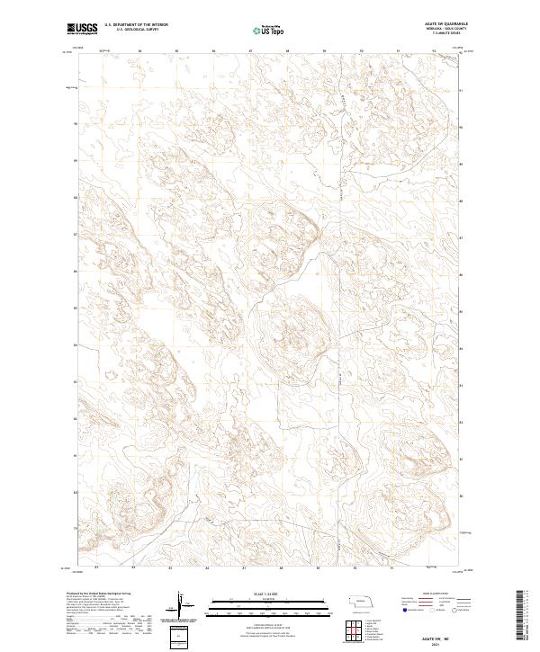 2021 Agate SW2021 Print · USGSSioux County's expansive ranching country is documented here at the start of the 2020s, showing the enduring grid of the Nebraska panhandle. Trace local access routes and section lines across the high plains, following Morrill Rd, Moore Rd, and Murphy Rd.
 - 2021 Map of Glen, 2021 Print
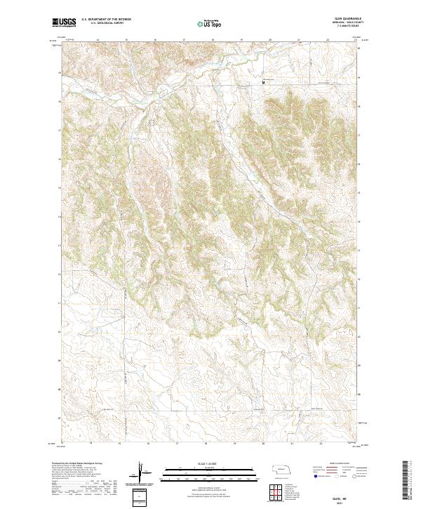 2021 Glen2021 Print · USGSSioux County at the start of the 2020s remains a landscape of remote ridges and deep creek drainages. Genealogists and local historians can trace the rural routes surrounding Glendale Cem and the distinctive Pink School House Rd.
 - 2021 Map of Harrison SE, 2021 Print
 2021 Harrison SE2021 Print · USGSSioux County ranchlands and high plains are preserved here in the early twenty-first century. Researchers can trace the layout of historical township lines and the paths of rural corridors like Evergreen Rd and Buckley Rd.
 - 2021 Map of University Lake NW, 2021 Print
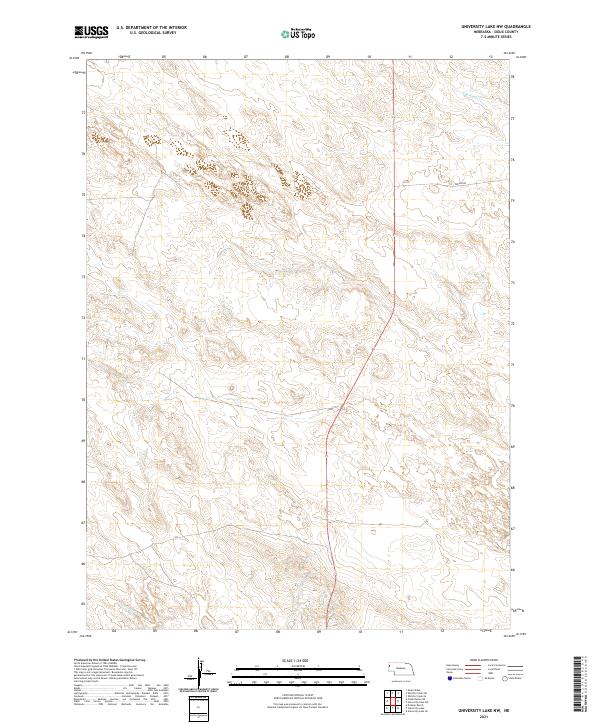 2021 University Lake NW2021 Print · USGSSioux County's high plains and ephemeral watercourses are captured in this recent survey of the Nebraska panhandle. Genealogists and land researchers can trace property boundaries across townships while locating local landmarks like S Br Snake Cr and Watson Rd.
 - 2021 Map of University Lake, 2021 Print
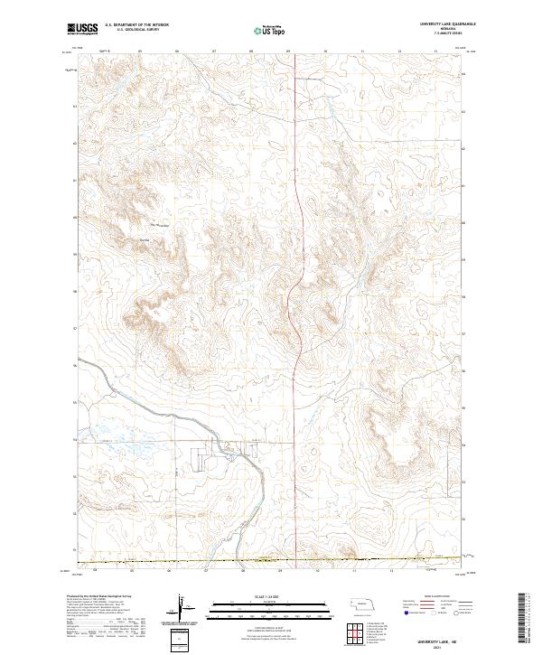 2021 University Lake2021 Print · USGSSioux County at the turn of the 21st century shows a landscape shaped by irrigation and western landforms. Genealogists and historians can trace local travel via CO RD A or locate landmarks like University Lake and The Horseshoe.
 - 2021 Map of Whistle Creek SE, 2021 Print
 2021 Whistle Creek SE2021 Print · USGSSioux County ranch lands are documented here in the early twenty-first century, showing the enduring grid of the Nebraska panhandle. Genealogists and local historians can trace modern access routes like Pink School House Rd and family-named corridors such as Carlson Rd.
 - 2021 Map of University Lake NE, 2021 Print
 2021 University Lake NE2021 Print · USGSSioux County's high plains are captured here in the early twenty-first century, showing the enduring ranching landscape and section-line roads of western Nebraska. Researchers can trace the path of S Br Snake Cr or locate family land holdings along Watson Rd and Morrill Rd.
 - 2021 Map of Chalk Buttes, 2021 Print
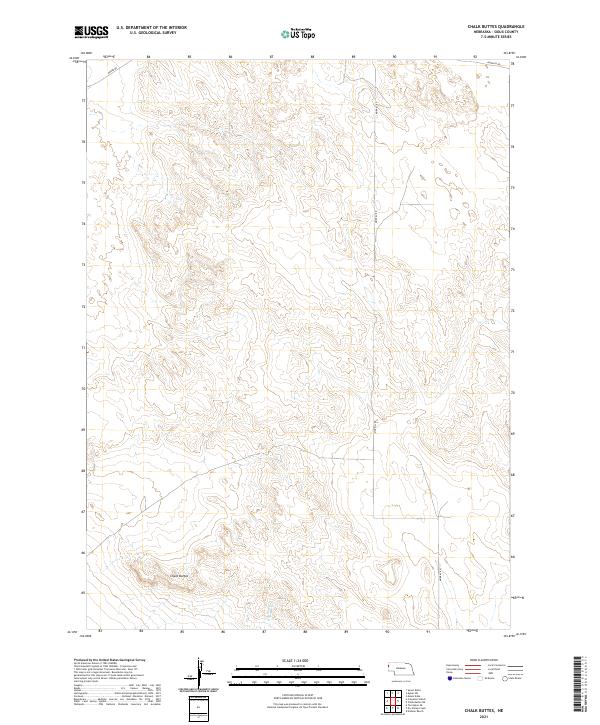 2021 Chalk Buttes2021 Print · USGSSioux County's high plains are captured here in the early 2020s, revealing a landscape shaped by geological formations and rural section lines. Genealogists and locals can trace the paths of Moore Rd and Morrill Rd near the distinctive Chalk Buttes.
Showing maps 1-25 of 56
Frequently asked questions
- What are the different types of historical maps available for Sioux County?
- What is the oldest map of Sioux County?
- Where can I purchase historical maps of Sioux County for my home or office?
- Where can I download high-res historical maps of Sioux County?
- Are there historical topographic maps available for Sioux County?
- Is there historical aerial imagery available for Sioux County?
- Where are historical maps of Sioux County sourced from?