2000s (21st Century) Maps of Sioux County, Nebraska
Explore 188 historic maps of Sioux County from the 2000s (21st Century). These maps offer a rare glimpse into what life looked like during the 2000s — showing old roads, neighborhoods, homes, and landmarks that have changed or disappeared over time.
Whether you're researching your family's past, planning a metal detecting trip, or studying how Sioux County's landscape evolved across the 2000s, these high-resolution maps are a powerful tool for exploring the history of this region.
- Focus on a specific era: All maps on this page are from the 2000s, giving you a focused view of this time period.
- See what’s changed: Compare century-old streets, trails, and buildings to today's modern landscape using overlays and satellite layers.
- Research with precision: Use these maps for genealogy, historical research, land use analysis, or educational projects.
- View, download, or print: Maps are fully viewable online in high resolution, and can be downloaded or printed for your own records.
Start exploring Sioux County's history through authentic maps from the 2000s. This is your window into the past.
Sioux County, NE maps
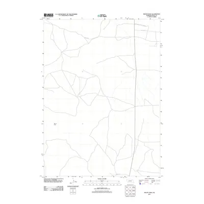
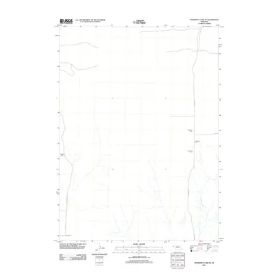
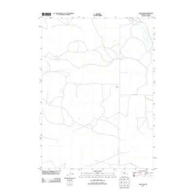
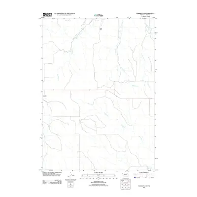
(188)- 2011 Map of Agate, 2011 Print
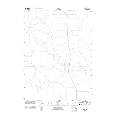 2011 Agate2011 Print · USGSCovers Sioux County, including Whistle Creek Precinct, Agate, and other nearby areas
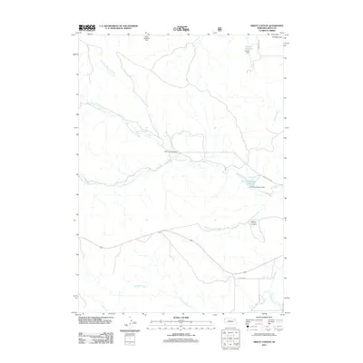
 - 2011 Map of Whistle Creek SW, 2011 Print
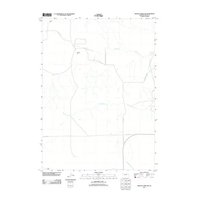 2011 Whistle Creek SW2011 Print · USGSCovers Sioux County, including Sheep Creek Precinct, Whistle Creek Precinct, and other nearby areas
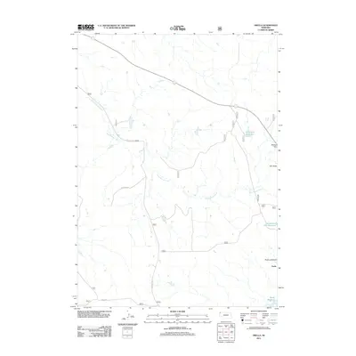
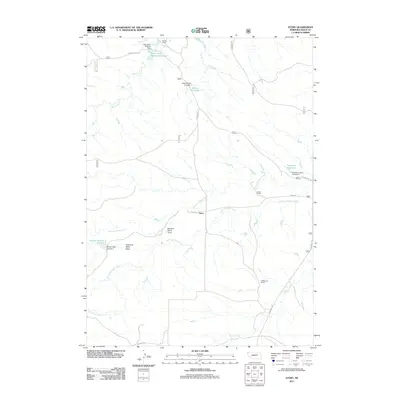
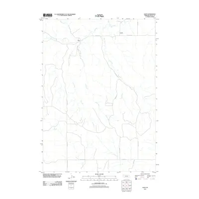
 - 2011 Map of Andrews, 2011 Print
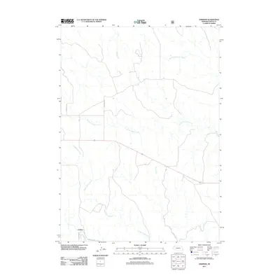 2011 Andrews2011 Print · USGSCovers Sioux County, including Andrews, Bowen Precinct, and other nearby areas
 - 2011 Map of Chalk Buttes NE, 2011 Print
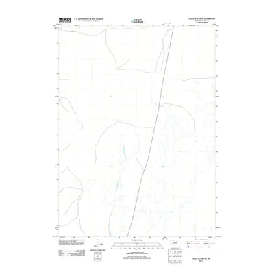 2011 Chalk Buttes NE2011 Print · USGSCovers Sioux County, including Sheep Creek Precinct, United States, and other nearby areas
 - 2011 Map of Mount Edna, 2011 Print
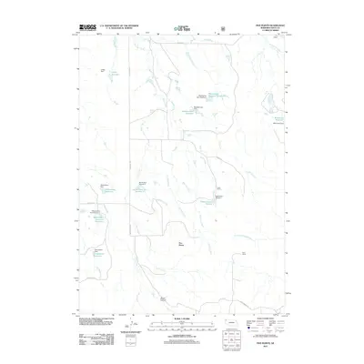
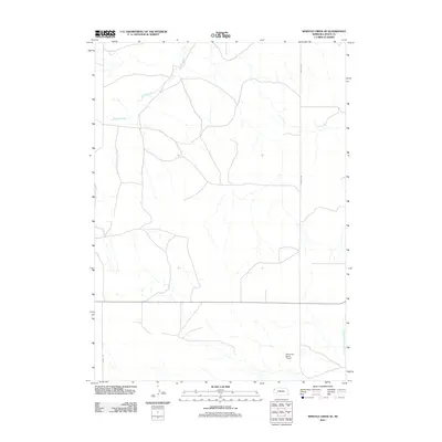
 2011 Mount Edna2011 Print · USGSCovers Sioux County, including Sheep Creek Precinct, Whistle Creek Precinct, and other nearby areas
 - 2011 Map of Orella, 2011 Print
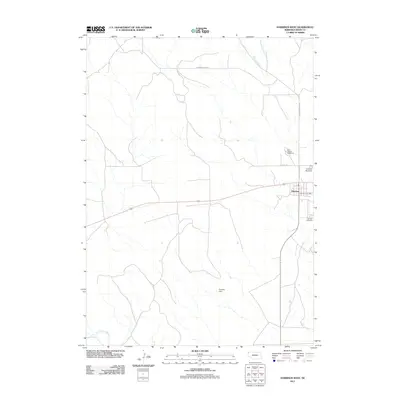
 2011 Orella2011 Print · USGSCovers Sioux County, including Orella, Bowen Precinct, and other nearby areas
 - 2011 Map of Harrison West, 2011 Print
 2011 Harrison West2011 Print · USGSCovers Sioux County, including Harrison, Bowen Precinct, and other nearby areas
 - 2011 Map of Marsland SW, 2011 Print
 2011 Marsland SW2011 Print · USGSCovers Sioux County, including Whistle Creek Precinct, Box Butte County, and other nearby areas
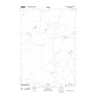
 - 2011 Map of Warbonnet Ranch, 2011 Print
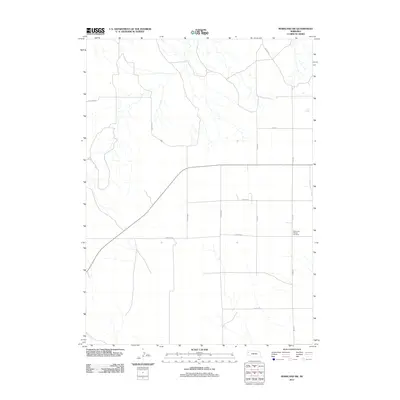
 2011 Warbonnet Ranch2011 Print · USGSCovers Sioux County, including Bowen Precinct, United States, and other nearby areas
 - 2011 Map of Chalk Buttes, 2011 Print
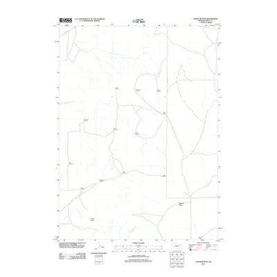 2011 Chalk Buttes2011 Print · USGSCovers Sioux County, including Sheep Creek Precinct, Spurior Place, and other nearby areas
 - 2011 Map of University Lake NW, 2011 Print
 2011 University Lake NW2011 Print · USGSCovers Sioux County, including Sheep Creek Precinct, Whistle Creek Precinct, and other nearby areas
 - 2011 Map of University Lake NE, 2011 Print
 2011 University Lake NE2011 Print · USGSCovers Sioux County, including Sheep Creek Precinct, Whistle Creek Precinct, and other nearby areas
 - 2011 Map of University Lake SE, 2011 Print
 2011 University Lake SE2011 Print · USGSCovers Sioux County, including Sheep Creek Precinct, Scotts Bluff County, and other nearby areas
 - 2011 Map of Crawford, 2011 Print
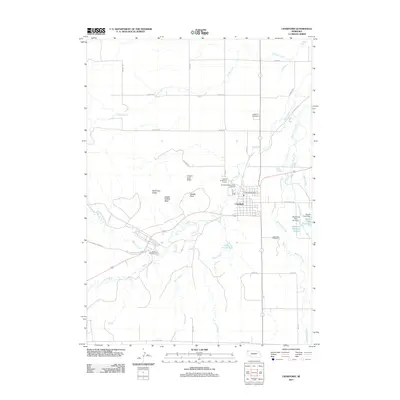 2011 Crawford2011 Print · USGSCovers Sioux County, including Crawford, Bowen Precinct, and other nearby areas
 - 2011 Map of Dead Mans Creek, 2011 Print
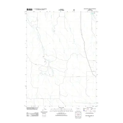 2011 Dead Mans Creek2011 Print · USGSCovers Sioux County, including Whistle Creek Precinct, Bowen Precinct, and other nearby areas
 - 2011 Map of Story, 2011 Print
 2011 Story2011 Print · USGSCovers Sioux County, including Story, Bowen Precinct, and other nearby areas
 - 2011 Map of Smiley Canyon, 2011 Print
 2011 Smiley Canyon2011 Print · USGSCovers Sioux County, including Bowen Precinct, United States, and other nearby areas
 - 2011 Map of Agate NW, 2011 Print
 2011 Agate NW2011 Print · USGSCovers Sioux County, including Bowen Precinct, United States, and other nearby areas
 - 2011 Map of Five Points, 2011 Print
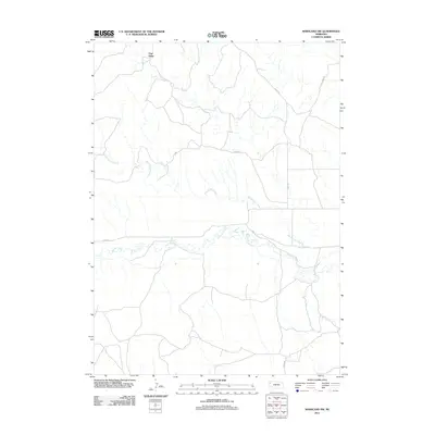
 2011 Five Points2011 Print · USGSCovers Sioux County, including Five Points, Bowen Precinct, and other nearby areas
 - 2011 Map of Glen, 2011 Print
 2011 Glen2011 Print · USGSCovers Sioux County, including Whistle Creek Precinct, Glen, and other nearby areas
 - 2011 Map of Harrison East, 2011 Print
 2011 Harrison East2011 Print · USGSCovers Sioux County, including Harrison, Bowen Precinct, and other nearby areas
 - 2011 Map of Whistle Creek SE, 2011 Print
 2011 Whistle Creek SE2011 Print · USGSCovers Sioux County, including Whistle Creek Precinct, United States, and other nearby areas
 - 2011 Map of Marsland NW, 2011 Print
 2011 Marsland NW2011 Print · USGSCovers Sioux County, including Pine Ridge, Whistle Creek Precinct, and other nearby areas
 - 2011 Map of Kilpatrick Lake NW, 2011 Print
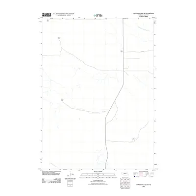
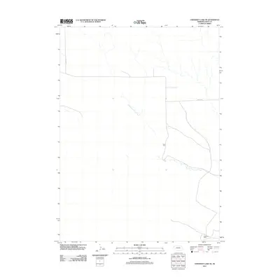
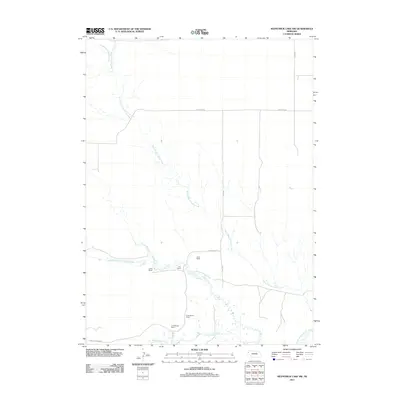 2011 Kilpatrick Lake NW2011 Print · USGSCovers Sioux County, including Sheep Creek Precinct, Whistle Creek Precinct, and other nearby areas
 - 2011 Map of Kyle Creek, 2011 Print
 2011 Kyle Creek2011 Print · USGSCovers Sioux County, including Whistle Creek Precinct, Bowen Precinct, and other nearby areas
Showing maps 1-25 of 188
Frequently asked questions
- What are the different types of historical maps available for Sioux County?
- What is the oldest map of Sioux County?
- Where can I purchase historical maps of Sioux County for my home or office?
- Where can I download high-res historical maps of Sioux County?
- Are there historical topographic maps available for Sioux County?
- Is there historical aerial imagery available for Sioux County?
- Where are historical maps of Sioux County sourced from?