2010s Maps of Sioux County, Nebraska
Explore 156 historic maps of Sioux County from the 2010s. These maps offer a rare glimpse into what life looked like during the 2010s — showing old roads, neighborhoods, homes, and landmarks that have changed or disappeared over time.
Whether you're researching your family's past, planning a metal detecting trip, or studying how Sioux County's landscape evolved across the 2010s, these high-resolution maps are a powerful tool for exploring the history of this region.
- Focus on a specific era: All maps on this page are from the 2010s, giving you a focused view of this time period.
- See what’s changed: Compare century-old streets, trails, and buildings to today's modern landscape using overlays and satellite layers.
- Research with precision: Use these maps for genealogy, historical research, land use analysis, or educational projects.
- View, download, or print: Maps are fully viewable online in high resolution, and can be downloaded or printed for your own records.
Start exploring Sioux County's history through authentic maps from the 2010s. This is your window into the past.
Sioux County, NE maps
(156)- 2011 Map of Agate, 2011 Print
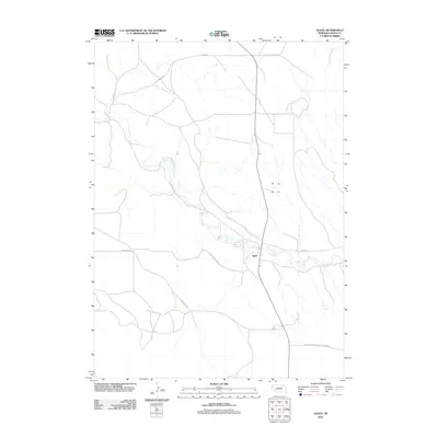 2011 Agate2011 Print · USGSThe High Plains of Sioux County are captured here in the early twenty-first century, centered on the ancient paleontological sites of the Niobrara valley. Researchers can trace the river's path through the Agate Fossil Beds Natl Monument and locate the historic settlement at Agate.
 - 2011 Map of Whistle Creek SW, 2011 Print
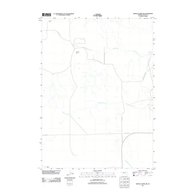 2011 Whistle Creek SW2011 Print · USGSSioux County ranching country and protected fossil beds are captured here in the early twenty-first century. Genealogists and local historians can trace family landmarks like the Johnson Ranch and follow the route of Pink School House Rd.
 - 2011 Map of Andrews, 2011 Print
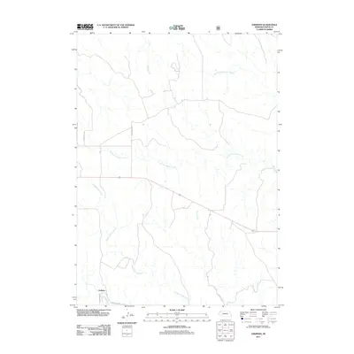 2011 Andrews2011 Print · USGSThe High Plains of Sioux County appear in this 2011 survey, showing the rural crossroads of Andrews and the White River. Trace the many winding tributaries that define this landscape, including South Fork Soldier Creek and Boggy Creek.
 - 2011 Map of Chalk Buttes NE, 2011 Print
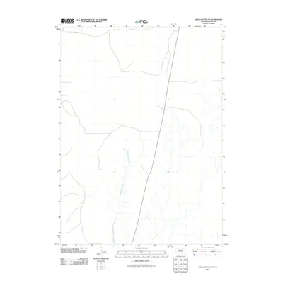 2011 Chalk Buttes NE2011 Print · USGSSioux County's high plains are captured here in the early twenty-first century, showing a landscape defined by intermittent waterways and section-line roads. Researchers can trace the path of Dry Spottedtail Creek and locate rural routes like Murphys Rd.
 - 2011 Map of Mount Edna, 2011 Print
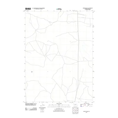 2011 Mount Edna2011 Print · USGSThe Nebraska panhandle's open ranch land is captured here in the early twenty-first century. Researchers can trace rural routes like White Rock Rd and locate the southern portion of the Agate Fossil Beds Natl Monument near Mount Edna.
 - 2011 Map of Orella, 2011 Print
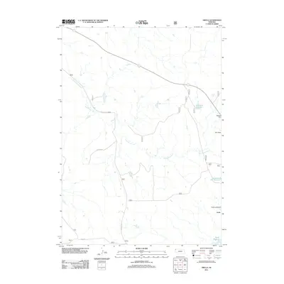 2011 Orella2011 Print · USGSDawes County, Nebraska, is captured here during the early 2010s, showing a remote ranching landscape defined by its distinctive buttes and creek drainages. Researchers can locate the settlement of Orella and trace local hydrology through Long Branch Creek, Agate Dam Reservoir, and Moody Reservoir.
 - 2011 Map of Harrison West, 2011 Print
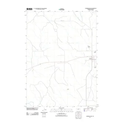 2011 Harrison West2011 Print · USGSSioux County ranching country is documented here in the early twenty-first century, centered on the high-plains community of Harrison. Researchers can locate civic landmarks like the Harrison Post Office and Sioux County Fairground or trace the course of the Niobrara River.
 - 2011 Map of Marsland SW, 2011 Print
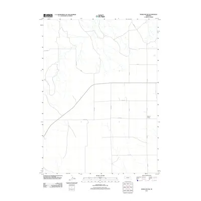 2011 Marsland SW2011 Print · USGSThe high plains of Sioux County are captured here during the early twenty-first century, showing a landscape of deep-rooted agricultural patterns. Genealogists and local historians can locate the Bohemian Pioneer Cemetery and trace the rural road network including Carlson Rd and Franklin Rd.
 - 2011 Map of Warbonnet Ranch, 2011 Print
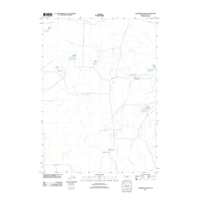 2011 Warbonnet Ranch2011 Print · USGSSioux County ranch lands are documented here at the start of the 2010s, showcasing a landscape defined by canyons and water management. Researchers can trace family-named landmarks like Wasserburger Reservoir Number 1 and explore the vicinity of Monroe Canyon.
 - 2011 Map of Chalk Buttes, 2011 Print
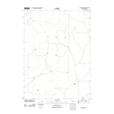 2011 Chalk Buttes2011 Print · USGSSioux County ranching country is mapped here in the early 2000s, showing a landscape defined by isolated homesteads and essential water works. Genealogists and researchers can locate legacy holdings like Hatch Ranch and Spurior Place near the Chalk Buttes.
 - 2011 Map of University Lake NW, 2011 Print
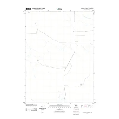 2011 University Lake NW2011 Print · USGSSioux County ranching country is documented here in the early twenty-first century, showing the enduring boundaries of the Nebraska high plains. Trace family-named landmarks like the Star-D Ranch, Murphy Ranch, and water sources such as Spottedtail Creek.
 - 2011 Map of University Lake NE, 2011 Print
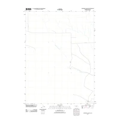 2011 University Lake NE2011 Print · USGSThe Nebraska panhandle's ranching country remains centered on family operations and remote creek drainages in this early twenty-first century survey. Genealogists and local historians can locate specific homesteads like Elliott Ranch and Henderson Ranch along the banks of South Branch Snake Creek.
 - 2011 Map of University Lake SE, 2011 Print
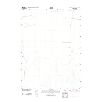 2011 University Lake SE2011 Print · USGSSioux County's ranching landscape is captured here in the early 2000s, showing the intersection of cattle operations and agricultural transit. Genealogists and local historians can trace family land at Applegate Ranch and Prickett Ranch or follow the path of Winters Creek.
 - 2011 Map of Crawford, 2011 Print
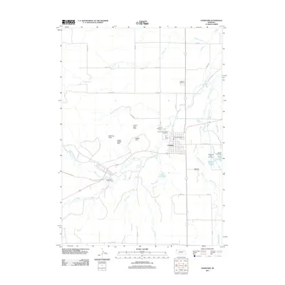 2011 Crawford2011 Print · USGSCrawford and the historic Pine Ridge region are shown here in the early twenty-first century, balancing modern recreation with deep frontier roots. Researchers can trace land markers near Fort Robinson State Park or locate family plots at Crawford Cemetery and Saint John Cemetery.
 - 2011 Map of Dead Mans Creek, 2011 Print
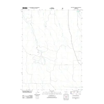 2011 Dead Mans Creek2011 Print · USGSSioux County's high plains are mapped in detail here during the early twenty-first century, showing the drainage systems that define the region. Researchers can trace rural routes like Deadman Rd and Breakneck Rd to the Dodd Reservoir and Dodd Dam.
 - 2011 Map of Story, 2011 Print
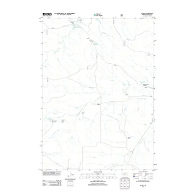 2011 Story2011 Print · USGSThis Sioux County ranchland is mapped in the early twenty-first century, showing the enduring pattern of remote western Nebraska homesteads. Genealogists and historians can trace family ties at Wallace Ranch, Falkenburg Ranch, and the Grandma Davis Draw.
 - 2011 Map of Smiley Canyon, 2011 Print
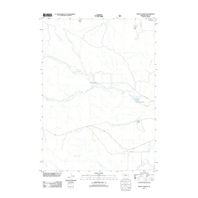 2011 Smiley Canyon2011 Print · USGSNorthwest Nebraska’s rangeland and watersheds are captured here in the early twenty-first century, showcasing the vital role of water management in the plains. Researchers can trace land use through landmarks like Smiley Canyon, the Soldier Creek Trailhead, and several dam-fed catchments including Dunlap Reservoir.
 - 2011 Map of Agate NW, 2011 Print
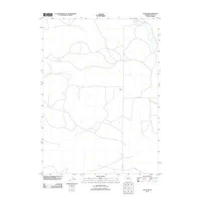 2011 Agate NW2011 Print · USGSSioux County ranch lands are documented here in the early twenty-first century, showing the intersection of rural life and natural history. You can trace local travel routes like Morrill Rd or locate the famed Agate Fossil Beds along the Niobrara River.
 - 2011 Map of Five Points, 2011 Print
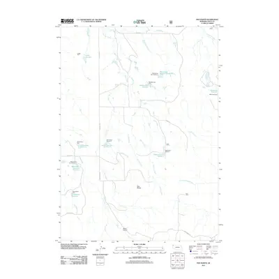 2011 Five Points2011 Print · USGSSioux County ranching country is captured here in the early 2000s, showing a landscape defined by water management and isolated homesteads. Researchers can trace family-named land features like Licket Ranch, Beans Canyon, and the Staudenmaier Reservoir.
 - 2011 Map of Glen, 2011 Print
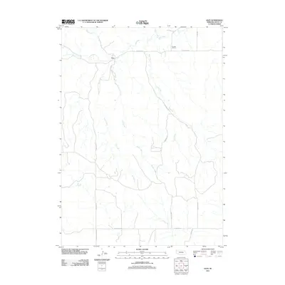 2011 Glen2011 Print · USGSSioux County's high plains and river breaks appear in detail during the early 2000s, centered on the settlement of Glen. Researchers can trace old ranching routes and community markers like Glendale Cemetery, the White River, and the evocatively named Pink School House RD.
 - 2011 Map of Harrison East, 2011 Print
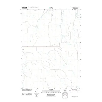 2011 Harrison East2011 Print · USGSSioux County's rural landscapes and high plains drainage systems are meticulously documented in this early twenty-first-century survey. Researchers can trace local landmarks and family connections at Saint Mary Cemetery or follow the paths of White River and Pants Butte.
 - 2011 Map of Whistle Creek SE, 2011 Print
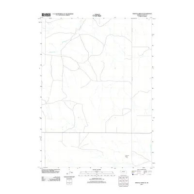 2011 Whistle Creek SE2011 Print · USGSThe ranchlands of Sioux County are captured here during the early twenty-first century, showing the enduring agricultural character of the Nebraska panhandle. Researchers can trace the path of Whistle Creek or locate landmarks like the Plainsview Ranch Airport and Morrill Rd.
 - 2011 Map of Marsland NW, 2011 Print
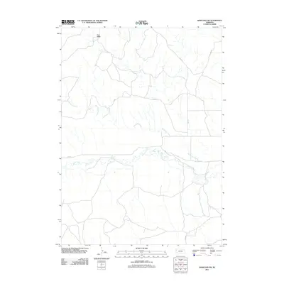 2011 Marsland NW2011 Print · USGSThe Nebraska panhandle in the early twenty-first century reveals a remote landscape defined by the Pine Ridge escarpment. Genealogists and local historians can trace rural routes and watercourses such as the Niobrara River, Barngrover Creek, and Morava Dr.
 - 2011 Map of Kilpatrick Lake NW, 2011 Print
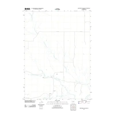 2011 Kilpatrick Lake NW2011 Print · USGSSioux County ranching country is documented here at the start of the 2010s. Researchers can locate specific family-named landmarks including Hood Ranch, Locker Ranch, and B Henderson Ranch along the various branches of Snake Creek.
 - 2011 Map of Kyle Creek, 2011 Print
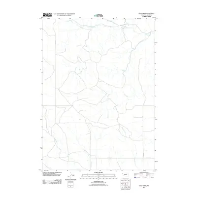 2011 Kyle Creek2011 Print · USGSSioux County's rural landscape is captured here in the early twenty-first century, showing the remote ranching country of the Nebraska panhandle. Genealogists and local historians can trace family land via the network of tributaries like Kyle Creek and rural routes such as Buckley Rd or Vantine Rd.
Showing maps 1-25 of 156
Frequently asked questions
- What are the different types of historical maps available for Sioux County?
- What is the oldest map of Sioux County?
- Where can I purchase historical maps of Sioux County for my home or office?
- Where can I download high-res historical maps of Sioux County?
- Are there historical topographic maps available for Sioux County?
- Is there historical aerial imagery available for Sioux County?
- Where are historical maps of Sioux County sourced from?