1980s Maps of Thomas County, Nebraska
Explore 22 historic maps of Thomas County from the 1980s. These maps offer a rare glimpse into what life looked like during the 1980s — showing old roads, neighborhoods, homes, and landmarks that have changed or disappeared over time.
Whether you're researching your family's past, planning a metal detecting trip, or studying how Thomas County's landscape evolved across the 1980s, these high-resolution maps are a powerful tool for exploring the history of this region.
- Focus on a specific era: All maps on this page are from the 1980s, giving you a focused view of this time period.
- See what’s changed: Compare century-old streets, trails, and buildings to today's modern landscape using overlays and satellite layers.
- Research with precision: Use these maps for genealogy, historical research, land use analysis, or educational projects.
- View, download, or print: Maps are fully viewable online in high resolution, and can be downloaded or printed for your own records.
Start exploring Thomas County's history through authentic maps from the 1980s. This is your window into the past.
Thomas County, NE maps
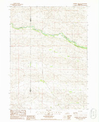
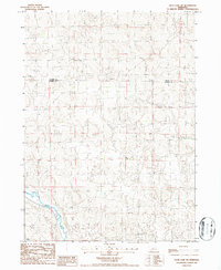
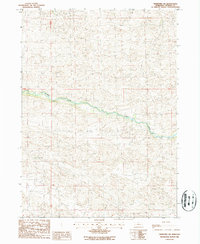
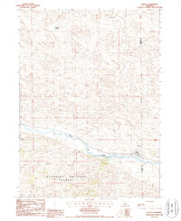
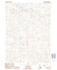
(22)- 1985 Map of Dismal River
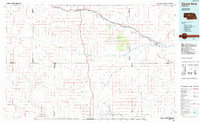 1985 Dismal River1985 Print · USGSCentral Nebraska's sandhills and river valleys are captured here during the mid-1980s, showing a landscape defined by the Burlington Northern railroad. Researchers can trace rural settlement patterns through places like Thedford and Dunning or find family landmarks at Shimmins Lake and Shanklin Bluff.2 unique versions available
 - 1985 Map of Goose Creek
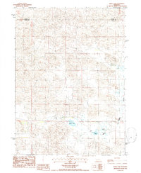
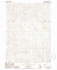
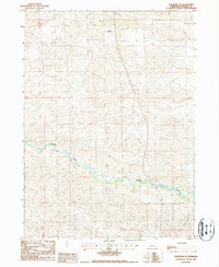
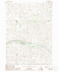
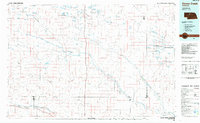 1985 Goose Creek1985 Print · USGSCentral Nebraska's Sandhills come into focus in the mid-eighties, showing a landscape of remote ranching outposts and wildlife preserves. Trace old rail routes and rural settlements like Brownlee, Seneca, and Purdum along the Goose Creek watershed.2 unique versions available
 - 1985 Map of Shimmins Lake NE, 1986 Print
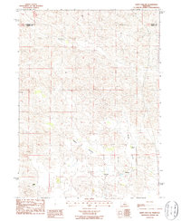
 1985 Shimmins Lake NE1986 Print · USGSThe Nebraska Sandhills come into sharp focus in the mid-1980s along the boundary of Hooker Co and Thomas Co. Researchers can trace the exact topography of this ranching country, where the landscape is defined by sand dunes rather than towns or rails.
 - 1985 Map of Tryon NE, 1986 Print
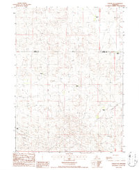
 1985 Tryon NE1986 Print · USGSIn the mid-1980s, this portion of the Nebraska Sandhills remained a landscape of storied family cattle operations. Genealogists and local historians can trace the precise locations of the Miller Ranch, Jameson Ranch, and Munson Ranch.
 - 1985 Map of Shimmins Lake SE, 1986 Print
 1985 Shimmins Lake SE1986 Print · USGSThe Nebraska Sandhills come into sharp focus in the mid-1980s as the Dismal River winds through the high plains. Trace the rugged county line between Hooker County and Thomas County across a landscape of remote trails and winding waters.
 - 1986 Map of Mudd Lake
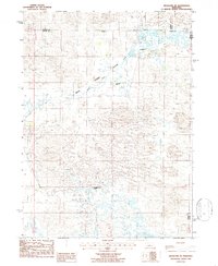
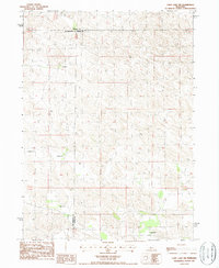
 1986 Mudd Lake1986 Print · USGSLogan County ranching country and the Sandhills wetlands are captured here in the mid-1980s. Local researchers can trace family land at Rogers Ranch or locate historical livestock operations near Mudd Lake and Philpott Lake.
 - 1986 Map of Happy Hollow
 1986 Happy Hollow1986 Print · USGSRanching life in the Nebraska Sandhills is captured here during the mid-eighties, showing a remote world of prairie homesteads. Genealogists and local historians can locate family landmarks like Birth Ranch, Santos Ranch, and the waters of Brush Lake.
 - 1986 Map of Purdum SW
 1986 Purdum SW1986 Print · USGSThe Nebraska Sandhills in the mid-1980s reveal a landscape of isolated family holdings and vast open country. Genealogists can locate specific homesteads like McCreath Ranch, McMillen Ranch, and Hanks Ranch.
 - 1986 Map of Duck Lake SW
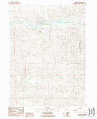
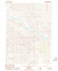
 1986 Duck Lake SW1986 Print · USGSThomas County rangeland remains largely undisturbed in the mid-1980s, defined by the winding course of the Middle Loup River. Researchers can trace the high-plateau boundary of Cherry Co and Thomas Co across this sparsely settled landscape.
 - 1986 Map of Duck Lake SE
 1986 Duck Lake SE1986 Print · USGSThe Nebraska Sandhills straddle the border of Thomas and Cherry counties in the mid-1980s. Researchers can trace the remote landscape and the isolated placement of a Radio Tower and numerous Well markers.
 - 1986 Map of Hoagland NE
 1986 Hoagland NE1986 Print · USGSThe ranching country of central Nebraska is captured here in the mid-1980s, where the Logan County line meets Thomas and Blaine counties. Researchers can trace the heritage of local homesteads like McGooden Ranch and Schmidt Ranch across the Wild Horse Flats.
 - 1986 Map of Purdum
 1986 Purdum1986 Print · USGSThomas County ranching life is preserved in this mid-1980s survey of the Nebraska Sandhills. Genealogists and local historians can trace family land holdings such as Lowe Ranch, Martin Ranch, and the settlement of Purdum along the North Loup River.
 - 1986 Map of Thedford SW, 1987 Print
 1986 Thedford SW1987 Print · USGSThe Nebraska Sandhills come into focus during the mid-1980s, centered on a quiet stretch of the Dismal River. Genealogists and local historians can trace the bounds of the Paxton Ranch and follow the network of ranch roads through the dunes.
 - 1986 Map of Thedford SE, 1987 Print
 1986 Thedford SE1987 Print · USGSCentral Nebraska's cattle country and the winding path of the Dismal River define this 1980s landscape. Local historians and land researchers can trace remote landmarks like the Ewoldt Landing Strip across the undulating Sandhills terrain.
 - 1986 Map of Cody Lake NW, 1987 Print
 1986 Cody Lake NW1987 Print · USGSCentral Nebraska ranching country is captured in the mid-1980s at the intersection of Logan, Thomas, and McPherson counties. Genealogists and local historians can locate specific family holdings including Star Ranch, Pfeiffer Ranch, and Kramer Ranch.
 - 1986 Map of Thedford, 1987 Print
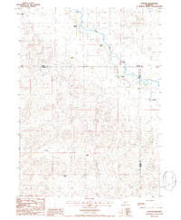
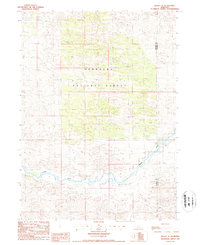
 1986 Thedford1987 Print · USGSThedford and the surrounding Sandhills are shown here in the mid-eighties as a vital ranching and transportation center. Researchers can trace the layout of the town near the Middle Loup River, locating Hillcrest Cem and the nearby Fairground.
 - 1986 Map of Halsey, 1987 Print
 1986 Halsey1987 Print · USGSHalsey and the surrounding Sandhills landscape are captured in the mid-eighties as they straddle the Thomas and Blaine county line. Genealogists and researchers can trace local ranching history at the A L Ranch and Rodocker Ranch or explore the borders of the Nebraska National Forest.
 - 1986 Map of Halsey SE, 1987 Print
 1986 Halsey SE1987 Print · USGSThe Nebraska Sandhills come into focus during the mid-1980s, showcasing the intersection of the Nebraska National Forest and the Dismal River. Researchers can trace the Thomas Co and Blaine Co line across a landscape crossed by rugged 4WD trails.
 - 1986 Map of Halsey SW, 1987 Print
 1986 Halsey SW1987 Print · USGSThe Nebraska Sandhills come into sharp focus in the mid-1980s, centered on the unique hand-planted terrain of the central plains. Researchers can trace the winding course of the Dismal River and locate remote landmarks like Signal Hill deep within the Nebraska National Forest.
 - 1986 Map of Natick, 1987 Print
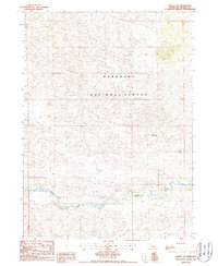
 1986 Natick1987 Print · USGSThomas County ranching and rail life are recorded here in the mid-1980s as the Burlington Northern tracks follow the river. Genealogists and historians can locate Natick, the Nutter Ranch, and the boundaries of the Nebraska National Forest.
 - 1986 Map of Norway, 1987 Print
 1986 Norway1987 Print · USGSThomas County ranching and rail life are documented here in the mid-1980s as the river valley cuts through the sandhills. Researchers can trace the Burlington Northern line past Norway and locate the historic boundaries of the Pearson Ranch.
 - 1987 Map of Seneca, 1988 Print
 1987 Seneca1988 Print · USGSThe Middle Loup River valley in the mid-1980s reveals a ranching landscape at the intersection of three counties. Trace the heritage of local families at Van Dusen Ranch and Seneca, or locate old burial sites at two marked Cem locations.
End of results
Showing maps 1-22 of 22
Top cities of Thomas County
Frequently asked questions
- What are the different types of historical maps available for Thomas County?
- What is the oldest map of Thomas County?
- Where can I purchase historical maps of Thomas County for my home or office?
- Where can I download high-res historical maps of Thomas County?
- Are there historical topographic maps available for Thomas County?
- Is there historical aerial imagery available for Thomas County?
- Where are historical maps of Thomas County sourced from?