Old Maps of Washington County, Nebraska for Hiking & Exploration
Hike through history with 32 historic maps of Washington County. Explore old trails, ghost towns, and forgotten backroads — perfect for outdoor adventurers and local explorers.
- Rediscover forgotten places: Map out old mining camps, roads, and footpaths that no longer exist on modern maps.
- Layer with modern tools: Combine with LiDAR or satellite views to plan hikes through historical terrain.
- Made for exploration: Popular among hikers, overlanders, and local history lovers.
Use these maps to find adventure and explore the hidden past of Washington County.
Washington County, NE maps
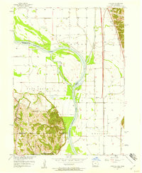
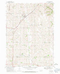
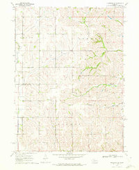
(32)- 1893 Map of Omaha
 1893 Omaha1893 Print · USGSCovers Washington County, including Omaha, Council Bluffs, and other nearby areas
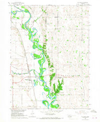
 - 1893 Map of Fremont, 1960 Print
 1893 Fremont1960 Print · USGSCovers Washington County, including Omaha, Bellevue, and other nearby areas
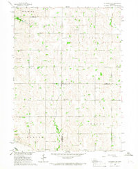
 - 1896 Map of Fremont
 1896 Fremont1896 Print · USGSCovers Washington County, including Omaha, Bellevue, and other nearby areas5 unique versions available
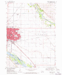
 - 1954 Map of Omaha, 1967 Print
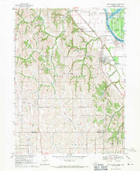
 1954 Omaha1967 Print · USGSCovers Washington County, including Omaha, Council Bluffs, and other nearby areas3 unique versions available
 - 1955 Map of Fremont, 1966 Print
 1955 Fremont1966 Print · USGSCovers Washington County, including Omaha, Bellevue, and other nearby areas3 unique versions available
 - 1957 Map of Fremont
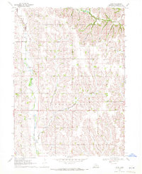
 1957 Fremont1957 Print · USGSCovers Washington County, including Omaha, Bellevue, and other nearby areas
 - 1957 Map of Omaha
 1957 Omaha1957 Print · USGSCovers Washington County, including Omaha, Council Bluffs, and other nearby areas
 - 1957 Map of Loveland, 1958 Print
 1957 Loveland1958 Print · USGSCovers Washington County, including Omaha, Loveland, and other nearby areas3 unique versions available
 - 1958 Map of Omaha
 1958 Omaha1958 Print · USGSCovers Washington County, including Omaha, Council Bluffs, and other nearby areas2 unique versions available
 - 1958 Map of Fremont
 1958 Fremont1958 Print · USGSCovers Washington County, including Omaha, Bellevue, and other nearby areas
 - 1966 Map of Nickerson, 1967 Print
 1966 Nickerson1967 Print · USGSCovers Washington County, including Nickerson, Green Acres Mobile Home Community, and other nearby areas
 - 1966 Map of Nickerson NW, 1967 Print
 1966 Nickerson NW1967 Print · USGSCovers Washington County, including Dodge County, Burt County, and other nearby areas
 - 1968 Map of Fremont East, 1971 Print
 1968 Fremont East1971 Print · USGSCovers Washington County, including Fremont, Inglewood, and other nearby areas3 unique versions available
 - 1968 Map of Kennard, 1971 Print
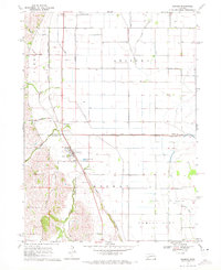
 1968 Kennard1971 Print · USGSCovers Washington County, including Bennington, Kennard, and other nearby areas
 - 1968 Map of Arlington, 1971 Print
 1968 Arlington1971 Print · USGSCovers Washington County, including Arlington, Douglas County, and other nearby areas2 unique versions available
 - 1968 Map of Fort Calhoun, 1971 Print
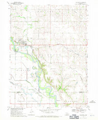
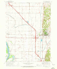
 1968 Fort Calhoun1971 Print · USGSCovers Washington County, including Omaha, Fort Calhoun, and other nearby areas2 unique versions available
 - 1969 Map of Orum, 1972 Print
 1969 Orum1972 Print · USGSCovers Washington County, including Orum, United States, and other nearby areas
 - 1970 Map of Missouri Valley, 1972 Print
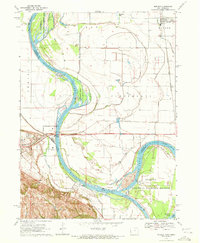
 1970 Missouri Valley1972 Print · USGSCovers Washington County, including Missouri Valley, California Junction, and other nearby areas
 - 1970 Map of Herman, 1972 Print
 1970 Herman1972 Print · USGSCovers Washington County, including Herman, Burt County, and other nearby areas
 - 1970 Map of Mondamin, 1972 Print
 1970 Mondamin1972 Print · USGSCovers Washington County, including Mondamin, Modale, and other nearby areas
 - 1970 Map of Modale, 1972 Print
 1970 Modale1972 Print · USGSCovers Washington County, including Blair, Modale, and other nearby areas2 unique versions available
 - 1970 Map of Nickerson NE, 1972 Print
 1970 Nickerson NE1972 Print · USGSCovers Washington County, including Burt County, United States, and other nearby areas
 - 1970 Map of Blair, 1972 Print
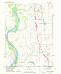
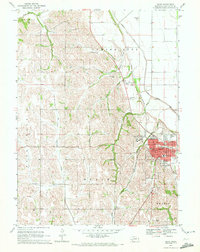 1970 Blair1972 Print · USGSCovers Washington County, including Blair, Country Estates Mobile Home Park, and other nearby areas2 unique versions available
 - 1980 Map of Harlan
 1980 Harlan1980 Print · USGSCovers Washington County, including Denison, Harlan, and other nearby areas
 - 1982 Map of Fremont
 1982 Fremont1982 Print · USGSCovers Washington County, including Omaha, Bellevue, and other nearby areas2 unique versions available
Showing maps 1-25 of 32
Top cities of Washington County
- Blair historical maps
- Arlington historical maps
- Fort Calhoun historical maps
- Kennard historical maps
- Herman historical maps
- Washington historical maps
Frequently asked questions
- What are the different types of historical maps available for Washington County?
- What is the oldest map of Washington County?
- Where can I purchase historical maps of Washington County for my home or office?
- Where can I download high-res historical maps of Washington County?
- Are there historical topographic maps available for Washington County?
- Is there historical aerial imagery available for Washington County?
- Where are historical maps of Washington County sourced from?