Old Maps of Washington County, Nebraska for Metal Detecting
Plan your next treasure hunt with 32 historic maps of Washington County. Find old homesites, ghost towns, trails, and gathering spots that may be lost to time — perfect for identifying promising metal detecting locations.
- Locate forgotten sites: Uncover places like long-lost settlements, abandoned rail lines, or gathering spots.
- Plan better hunts: Use map overlays combined with LiDAR or satellite views to narrow in on historically rich areas.
- Made for detectorists: Thousands of hobbyists use these maps to discover relics, coins, and hidden history.
Use these historic maps to boost your research and find new opportunities beneath the surface of Washington County.
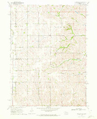
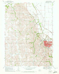
Washington County, NE maps
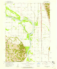
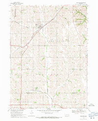
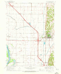
(32)- 1893 Map of Omaha
 1893 Omaha1893 Print · USGSCovers Washington County, including Omaha, Council Bluffs, and other nearby areas
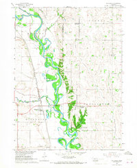
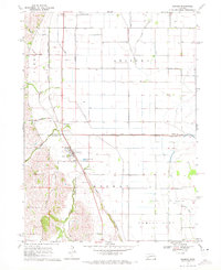
 - 1893 Map of Fremont, 1960 Print
 1893 Fremont1960 Print · USGSCovers Washington County, including Omaha, Bellevue, and other nearby areas
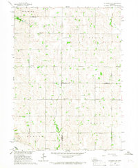
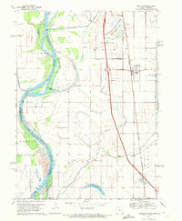
 - 1896 Map of Fremont
 1896 Fremont1896 Print · USGSCovers Washington County, including Omaha, Bellevue, and other nearby areas5 unique versions available
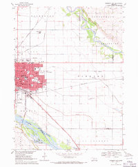
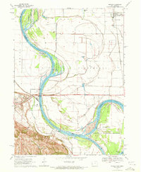
 - 1954 Map of Omaha, 1967 Print
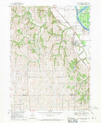
 1954 Omaha1967 Print · USGSCovers Washington County, including Omaha, Council Bluffs, and other nearby areas3 unique versions available
 - 1955 Map of Fremont, 1966 Print
 1955 Fremont1966 Print · USGSCovers Washington County, including Omaha, Bellevue, and other nearby areas3 unique versions available
 - 1957 Map of Fremont
 1957 Fremont1957 Print · USGSCovers Washington County, including Omaha, Bellevue, and other nearby areas
 - 1957 Map of Omaha
 1957 Omaha1957 Print · USGSCovers Washington County, including Omaha, Council Bluffs, and other nearby areas
 - 1957 Map of Loveland, 1958 Print
 1957 Loveland1958 Print · USGSCovers Washington County, including Omaha, Loveland, and other nearby areas3 unique versions available
 - 1958 Map of Omaha
 1958 Omaha1958 Print · USGSCovers Washington County, including Omaha, Council Bluffs, and other nearby areas2 unique versions available
 - 1958 Map of Fremont
 1958 Fremont1958 Print · USGSCovers Washington County, including Omaha, Bellevue, and other nearby areas
 - 1966 Map of Nickerson, 1967 Print
 1966 Nickerson1967 Print · USGSCovers Washington County, including Nickerson, Green Acres Mobile Home Community, and other nearby areas
 - 1966 Map of Nickerson NW, 1967 Print
 1966 Nickerson NW1967 Print · USGSCovers Washington County, including Dodge County, Burt County, and other nearby areas
 - 1968 Map of Fremont East, 1971 Print
 1968 Fremont East1971 Print · USGSCovers Washington County, including Fremont, Inglewood, and other nearby areas3 unique versions available
 - 1968 Map of Kennard, 1971 Print
 1968 Kennard1971 Print · USGSCovers Washington County, including Bennington, Kennard, and other nearby areas
 - 1968 Map of Arlington, 1971 Print
 1968 Arlington1971 Print · USGSCovers Washington County, including Arlington, Douglas County, and other nearby areas2 unique versions available
 - 1968 Map of Fort Calhoun, 1971 Print
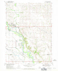
 1968 Fort Calhoun1971 Print · USGSCovers Washington County, including Omaha, Fort Calhoun, and other nearby areas2 unique versions available
 - 1969 Map of Orum, 1972 Print
 1969 Orum1972 Print · USGSCovers Washington County, including Orum, United States, and other nearby areas
 - 1970 Map of Missouri Valley, 1972 Print
 1970 Missouri Valley1972 Print · USGSCovers Washington County, including Missouri Valley, California Junction, and other nearby areas
 - 1970 Map of Herman, 1972 Print
 1970 Herman1972 Print · USGSCovers Washington County, including Herman, Burt County, and other nearby areas
 - 1970 Map of Mondamin, 1972 Print
 1970 Mondamin1972 Print · USGSCovers Washington County, including Mondamin, Modale, and other nearby areas
 - 1970 Map of Modale, 1972 Print
 1970 Modale1972 Print · USGSCovers Washington County, including Blair, Modale, and other nearby areas2 unique versions available
 - 1970 Map of Nickerson NE, 1972 Print
 1970 Nickerson NE1972 Print · USGSCovers Washington County, including Burt County, United States, and other nearby areas
 - 1970 Map of Blair, 1972 Print
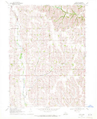
 1970 Blair1972 Print · USGSCovers Washington County, including Blair, Country Estates Mobile Home Park, and other nearby areas2 unique versions available
 - 1980 Map of Harlan
 1980 Harlan1980 Print · USGSCovers Washington County, including Denison, Harlan, and other nearby areas
 - 1982 Map of Fremont
 1982 Fremont1982 Print · USGSCovers Washington County, including Omaha, Bellevue, and other nearby areas2 unique versions available
Showing maps 1-25 of 32
Top cities of Washington County
- Blair historical maps
- Arlington historical maps
- Fort Calhoun historical maps
- Kennard historical maps
- Herman historical maps
- Washington historical maps
Frequently asked questions
- What are the different types of historical maps available for Washington County?
- What is the oldest map of Washington County?
- Where can I purchase historical maps of Washington County for my home or office?
- Where can I download high-res historical maps of Washington County?
- Are there historical topographic maps available for Washington County?
- Is there historical aerial imagery available for Washington County?
- Where are historical maps of Washington County sourced from?