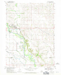
1968 Map of Arlington
USGS Topo · Published 1971About this map
Arlington serves as the central hub of this Nebraska landscape, situated near the confluence of several vital waterways in the late 1960s. The village is positioned north of the winding Elkhorn River, where the Chicago and North Western railroad provides a primary east-west transportation corridor. The surrounding terrain is defined by its drainages, including Bell Creek and Rawhide Creek, the latter of which features an identified Old Channel that indicates the shifting nature of the local hydrology over time.
Find a feature on this map
24 named features on this map. Tap any name to fly to it.
Don’t see what you’re looking for? This feature index may not catch every label — zoom into the map to look around manually.
Map Details
Editions of this 1968 Arlington Map
2 editions found
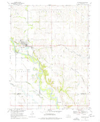
Other maps of this area

1893 · Fremont
USGS Topo · 1:125,000

1896 · Fremont
USGS Topo · 1:125,000

1955 · Fremont
USGS Topo · 1:250,000

1957 · Fremont
USGS Topo · 1:250,000

1958 · Fremont
USGS Topo · 1:250,000

1966 · Nickerson
USGS Topo · 1:24,000

1968 · Valley
USGS Topo · 1:24,000

1968 · Leshara
USGS Topo · 1:24,000

1968 · Fremont East
USGS Topo · 1:24,000

1968 · Kennard
USGS Topo · 1:24,000