Old Maps of North Las Vegas, Nevada for Metal Detecting
Plan your next treasure hunt with 38 historic maps of North Las Vegas. Find old homesites, ghost towns, trails, and gathering spots that may be lost to time — perfect for identifying promising metal detecting locations.
- Locate forgotten sites: Uncover places like long-lost settlements, abandoned rail lines, or gathering spots.
- Plan better hunts: Use map overlays combined with LiDAR or satellite views to narrow in on historically rich areas.
- Made for detectorists: Thousands of hobbyists use these maps to discover relics, coins, and hidden history.
Use these historic maps to boost your research and find new opportunities beneath the surface of North Las Vegas.
North Las Vegas, NV maps
(38)- 1886 Map of Saint Thomas
 1886 Saint Thomas1886 Print · USGSSoutheastern Nevada's river valleys and early trails are captured here in the late nineteenth century, long before the creation of Lake Mead. Genealogists and historians can locate early settlements like Saint Thomas and Old Callville, and trace river crossings at Stone Ferry and Scanlon Ferry.6 unique versions available
 - 1893 Map of Saint Thomas
 1893 Saint Thomas1893 Print · USGSSouthern Nevada at the close of the nineteenth century reveals a network of river-based settlements and trails. Genealogists and researchers can trace the early locations of Saint Thomas, Old Callville, and the Stone Ferry crossing.
 - 1907 Map of Las Vegas, 1956 Print
 1907 Las Vegas1956 Print · USGSSouthern Nevada is shown at a pivotal moment in the early 1900s as the rail network began to transform the desert landscape. Genealogists and historians can locate early homesteads and landmarks like Las Vegas Ranch, Mormon Well, and the Stirling Mine.
 - 1908 Map of Las Vegas
 1908 Las Vegas1908 Print · USGSSouthern Nevada was a frontier of rail and ranching in the years before major desert expansion. Trace the early footprints of Las Vegas and its surrounding outposts like Arden, Bracken, and the Stirling Mine.4 unique versions available
 - 1926 Map of Boulder Canyon
 1926 Boulder Canyon1926 Print · USGSBefore the completion of the Hoover Dam, this 1920s survey documents the Colorado River basin and its burgeoning infrastructure. Researchers can trace early railroad stops at Apex and Garnet, or locate the original Boulder Canyon Dam Site and Bonelli landing.2 unique versions available
 - 1952 Map of Gass Peak, 1953 Print
 1952 Gass Peak1953 Print · USGSIn the early fifties, the high desert north of Las Vegas was becoming a critical zone for national defense and conservation. You can trace the expansion of Nellis Air Force Base alongside historic water sources like Mormon Wells and the June Bug Mine.4 unique versions available
 - 1952 Map of Dry Lake, 1953 Print
 1952 Dry Lake1953 Print · USGSRailroad and highway travel through the southern Nevada desert dominated the landscape in the early fifties. Local historians can trace the infrastructure of the Union Pacific line and small settlements like Crystal, Arrolime, and Dry Lake.2 unique versions available
 - 1952 Map of Las Vegas, 1956 Print
 1952 Las Vegas1956 Print · USGSLas Vegas and its early suburbs are captured here in the early fifties during a period of rapid post-war aviation and industrial expansion. Researchers can trace family-named sites like Warm Springs Ranch and vanished landmarks like the Las Vegas Race Track or Mc Carran Field.
 - 1954 Map of Las Vegas
 1954 Las Vegas1954 Print · USGSLas Vegas and the Mojave Desert are shown in the early fifties as the region's military and recreational footprint expanded. Genealogists and historians can trace the early layout of North Las Vegas, the sites of Indian Springs Air Force Base, and long-established towns like Bunkerville.5 unique versions available
 - 1957 Map of Las Vegas
 1957 Las Vegas1957 Print · USGSSouthern Nevada in the mid-fifties is a landscape of massive federal ranges and the early growth of Las Vegas. Researchers can trace the development of McCarran Field, the expansive Lake Mead National Recreation Area, and the industrial footprint of Henderson.
 - 1959 Map of Las Vegas
 1959 Las Vegas1959 Print · USGSSouthern Nevada in the late fifties was a landscape of rapid suburban growth and massive federal installations. Genealogists and historians can trace early housing at Victory Village, the grounds of Camp Desert Rock, and the remote Tule Springs Ranch.
 - 1962 Map of Las Vegas
 1962 Las Vegas1962 Print · USGSSouthern Nevada is captured here during a period of significant military and industrial growth in the early sixties. Researchers can trace the development of Las Vegas alongside the Magnesium Plant in Henderson and the expansive Nellis Air Force Base.
 - 1967 Map of Las Vegas NW, 1968 Print
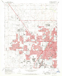 1967 Las Vegas NW1968 Print · USGSMid-century Nevada comes alive in this survey of the desert metropolis during its rapid post-war expansion. Local historians can trace the foundations of modern neighborhoods through dozens of schools like Culley Sch and landmarks such as the North Las Vegas Air Terminal.6 unique versions available
 - 1967 Map of Las Vegas NE, 1968 Print
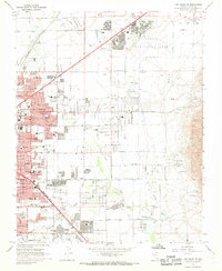 1967 Las Vegas NE1968 Print · USGSGreater Las Vegas undergoes rapid suburban expansion in the late sixties, with residential grids reaching toward the desert foothills. Researchers can trace the mid-century city layout through Sunrise Acres, the Frenchman Mine, and dozens of local schools.6 unique versions available
 - 1973 Map of Las Vegas NE, 1977 Print
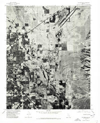 1973 Las Vegas NE1977 Print · USGSThe Mojave Desert meets rapid urban growth in the early 1970s as the Las Vegas valley expands toward the northeast. Trace the early development of North Las Vegas and the sprawling footprint of Nellis Air Force Base before the modern housing boom.
 - 1973 Map of Las Vegas NW, 1978 Print
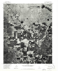 1973 Las Vegas NW1978 Print · USGSThe Nevada desert meets rapid suburban expansion in the early 1970s as residential grids push across the valley floor. Trace the development of Las Vegas and North Las Vegas, including the runways of the North Las Vegas Air Terminal.
 - 1974 Map of Gass Peak SW, 1977 Print
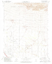 1974 Gass Peak SW1977 Print · USGSLas Vegas began its northward expansion into the high desert during the 1970s, as shown in this detailed survey. Researchers can trace the early city grid along Rainbow Blvd or locate local landmarks like the Home of the Good Shepherd and the June Bug Mine.3 unique versions available
 - 1974 Map of Valley, 1977 Print
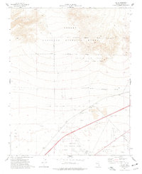 1974 Valley1977 Print · USGSSouthern Nevada in the mid-seventies shows a landscape defined by federal land use and early infrastructure. Researchers can trace the intersection of the Union Pacific railroad with military outposts like Nellis AFB and the small settlements of Valley and Lovell.2 unique versions available
 - 1986 Map of Las Vegas
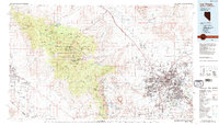 1986 Las Vegas1986 Print · USGSThe Mojave Desert landscape around mid-1980s Las Vegas reveals a city in transition, surrounded by vast federal preserves and the high peaks of the Spring Mountains. Trace the development of Henderson and Arden, or locate remote landmarks like Gagnier Station and the Calico Hills.4 unique versions available
 - 1986 Map of Apex
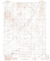 1986 Apex1986 Print · USGSThe Clark County desert in the mid-1980s reveals a unique mix of industrial outposts and military ranges. Genealogists and historians can trace the rail corridor at Arrolime, explore the Las Vegas Dunes, and locate old Mine Shafts near Apex.
 - 1987 Map of Lake Mead, 1988 Print
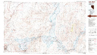 1987 Lake Mead1988 Print · USGSThe Lake Mead region in the late eighties shows a landscape shaped by massive water reclamation and growing desert communities. Trace the reach of the reservoir from Hoover Dam to Meadview, or locate remote desert landmarks like Rogers Spring and the Bowl of Fire.
 - 2012 Map of Valley, 2012 Print
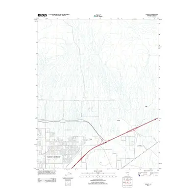 2012 Valley2012 Print · USGSThe northern edges of the Mojave Desert meet the expanding streets of North Las Vegas in this 2012 survey. Trace the early development of suburban grids and the infrastructure surrounding the Las Vegas Motor Speedway and Valley.
 - 2012 Map of Las Vegas NE, 2012 Print
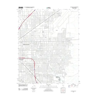 2012 Las Vegas NE2012 Print · USGSThe northeastern Las Vegas Valley undergoes rapid suburban densification in the early 2010s. Local researchers can trace neighborhood growth and community hubs like Sunrise Manor, the vast Nellis Air Force Base, and the Winterwood Golf Course.
 - 2012 Map of Las Vegas NW, 2012 Print
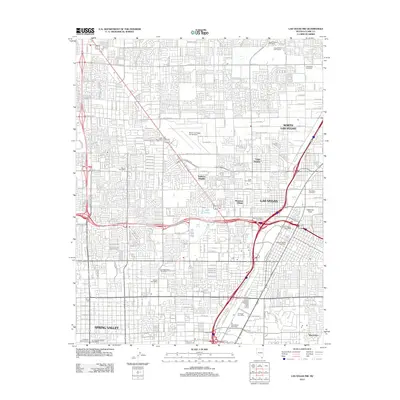 2012 Las Vegas NW2012 Print · USGSThe Las Vegas Valley is shown at a peak of modern expansion just over a decade ago. Genealogists and local historians can trace suburban growth and find key landmarks like Woodlawn Cemetery, Cashman Field, and the North Las Vegas Air Terminal.
 - 2012 Map of Apex, 2012 Print
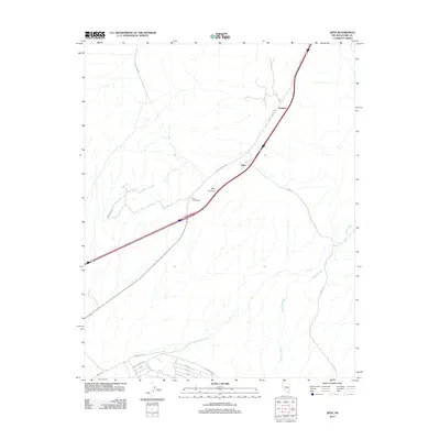 2012 Apex2012 Print · USGSNorth Las Vegas and the high desert corridor were transitioning into a modern logistics hub during the early 2000s. Researchers can trace the desert infrastructure of Apex, the rail-side location of Arrolime, and the drainage patterns of Gypsum Wash.
Showing maps 1-25 of 38
Top cities near North Las Vegas
- Las Vegas historical maps
- Henderson historical maps
- Enterprise historical maps
- Spring Valley historical maps
- Sunrise Manor historical maps
- Paradise historical maps
See more
Top neighborhoods of North Las Vegas
- Craig Ranch historical maps
- Aliante historical maps
- Villages at Tule Springs historical maps
- Heartland historical maps
Frequently asked questions
- What are the different types of historical maps available for North Las Vegas?
- What is the oldest map of North Las Vegas?
- Where can I purchase historical maps of North Las Vegas for my home or office?
- Where can I download high-res historical maps of North Las Vegas?
- Are there historical topographic maps available for North Las Vegas?
- Is there historical aerial imagery available for North Las Vegas?
- Where are historical maps of North Las Vegas sourced from?