Old Maps of Wells, Nevada for Genealogy
Trace your family roots with 14 historic maps of Wells. These high-res maps reveal old neighborhoods, homesites, landmarks, and streets — helping you uncover where your ancestors lived and how the area evolved over time.
- Explore historic neighborhoods: Identify where your relatives may have lived in the 1800s or 1900s.
- Compare maps over time: Trace the changes in streets, buildings, and landmarks for multi-generational research.
- Perfect for genealogy & ancestry research: Used by family historians and researchers to map out lineage and migration.
These maps are an incredible resource for exploring your personal connection to Wells's past.
Wells, NV maps
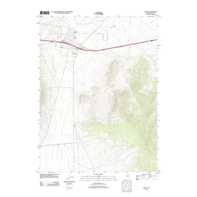
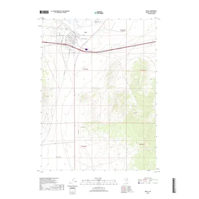
(14)- 1955 Map of Wells, 1966 Print
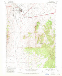
 1955 Wells1966 Print · USGSNortheastern Nevada's high basin-and-range country is documented here in the mid-fifties, showing a landscape of remote ranching outposts and massive federal forest lands. Researchers can locate the early mining districts at Delano Mines and trace the paths of the Southern Pacific railroad through settlements like Deeth and Cobre.4 unique versions available
 - 1958 Map of Wells
 1958 Wells1958 Print · USGSNortheastern Nevada's high desert and mountain ranges are documented here in the late fifties as the regional rail and ranching economy thrived. Genealogists and historians can trace the paths of the Southern Pacific railroad to remote stations at Cobre and Metropolis, or locate the high-altitude Delno Mines.
 - 1961 Map of Wells
 1961 Wells1961 Print · USGSNortheastern Nevada's high basin and range country is captured here during the early sixties, showing the vital rail corridors and ranching outposts. Researchers can trace the heritage of remote settlements like Metropolis, locate the Delano Mines, and follow the path of the Southern Pacific through the Pequop Mountains.
 - 1968 Map of Wells, 1971 Print
 1968 Wells1971 Print · USGSElko County was a vital railroad crossroads in the late sixties, where three major lines converged near the Humboldt River. Researchers can trace the town's footprint from the High School to the Indian Burial Grounds and the Southern Pacific rail yards.2 unique versions available
 - 1968 Map of Oxley Peak, 1972 Print
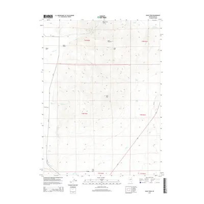
 1968 Oxley Peak1972 Print · USGSHigh-desert terrain and vital rail corridors define this corner of Elko County in the late sixties. Researchers can trace the Union Pacific line, locate the Oxley Peak Lookout, and find remote water sources like Twelvemile Spring.2 unique versions available
 - 1981 Map of Wells
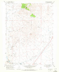
 1981 Wells1981 Print · USGSNortheast Nevada during the early 1980s reveals a landscape shaped by transcontinental rail lines and remote desert outposts. Trace the historic paths of the Southern Pacific and Western Pacific near the settlements of Wells, Cobre, and Montello.2 unique versions available
 - 2012 Map of Oxley Peak, 2012 Print
 2012 Oxley Peak2012 Print · USGSCovers Wells, including Elko County, United States, and other nearby areas
 - 2012 Map of Wells, 2012 Print
 2012 Wells2012 Print · USGSCovers Wells, including Elko County, United States, and other nearby areas
 - 2014 Map of Oxley Peak, 2014 Print
 2014 Oxley Peak2014 Print · USGSCovers Wells, including Elko County, United States, and other nearby areas
 - 2014 Map of Wells, 2014 Print
 2014 Wells2014 Print · USGSCovers Wells, including Elko County, United States, and other nearby areas
 - 2018 Map of Oxley Peak, 2018 Print
 2018 Oxley Peak2018 Print · USGSCovers Wells, including Elko County, United States, and other nearby areas
 - 2018 Map of Wells, 2018 Print
 2018 Wells2018 Print · USGSCovers Wells, including Elko County, United States, and other nearby areas
 - 2021 Map of Oxley Peak, 2021 Print
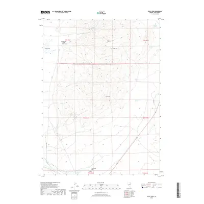
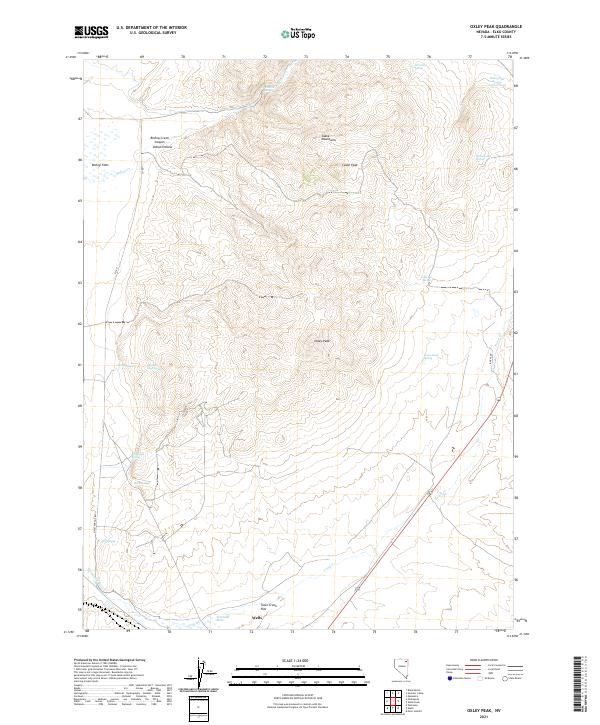 2021 Oxley Peak2021 Print · USGSElko County’s high-desert landscape near the community of Wells is shown here in the modern era. Genealogists and historians can trace essential water sources and early landmarks like Humboldt Wells, Indian Hollow, and Oxley Peak.
 - 2021 Map of Wells, 2021 Print
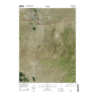
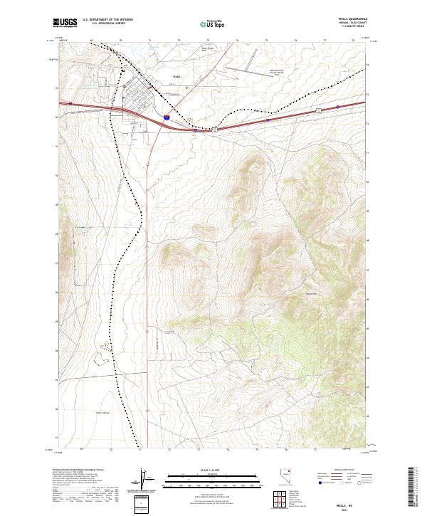 2021 Wells2021 Print · USGSWells and the surrounding Elko County high desert are captured here in the early twenty-first century. Researchers can trace the town’s residential growth near Wells City Cem or locate outlying landmarks like Railroad Spring and Wood Hills.
End of results
Showing maps 1-14 of 14
Frequently asked questions
- What are the different types of historical maps available for Wells?
- What is the oldest map of Wells?
- Where can I purchase historical maps of Wells for my home or office?
- Where can I download high-res historical maps of Wells?
- Are there historical topographic maps available for Wells?
- Is there historical aerial imagery available for Wells?
- Where are historical maps of Wells sourced from?