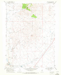
1968 Map of Oxley Peak
USGS Topo · Published 1972About this map
The Snake Mountains dominate the center of this northeastern Nevada landscape, where the Oxley Peak Lookout stands as a prominent high point. This late 1960s survey documents the rugged hydrography of the region, characterized by numerous thermal features such as Threemile Spring (Sulphur) and Hot Spring (Sulphur). The drainage pattern flows from the uplands down toward the Humboldt River and Town Creek in the south, where the terrain levels out into the broad expanse of the Bishop Flats.
Find a feature on this map
30 named features on this map. Tap any name to fly to it.
Don’t see what you’re looking for? This feature index may not catch every label — zoom into the map to look around manually.
Map Details
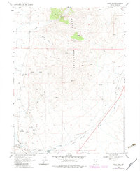
Editions of this 1968 Oxley Peak Map
2 editions found
Other maps of this area

1955 · Wells
USGS Topo · 1:250,000

1958 · Wells
USGS Topo · 1:250,000

1961 · Wells
USGS Topo · 1:250,000

1967 · Black Butte
USGS Topo · 1:24,000

1967 · Welcome
USGS Topo · 1:24,000

1967 · Metropolis
USGS Topo · 1:24,000

1968 · Moor Summit
USGS Topo · 1:24,000

1968 · Wells
USGS Topo · 1:24,000

1968 · Melandco
USGS Topo · 1:24,000

1968 · Wells Peak
USGS Topo · 1:24,000