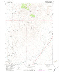
1968 Map of Oxley Peak
USGS Topo · Published 1983About this map
The Snake Mountains define this high-desert landscape north of the Humboldt River, where rugged peaks and vital water sources shaped early Nevada transportation. This area is anchored by the historic Humboldt Wells, a critical landmark for travelers and the railroad alike. The intersection of the Union Pacific and Southern Western Pacific rail lines highlights the region's importance as a transit corridor.
Find a feature on this map
36 named features on this map. Tap any name to fly to it.
Don’t see what you’re looking for? This feature index may not catch every label — zoom into the map to look around manually.
Map Details
Editions of this 1968 Oxley Peak Map
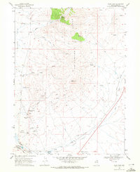
2 editions found
Other maps of this area

1955 · Wells
USGS Topo · 1:250,000

1958 · Wells
USGS Topo · 1:250,000

1961 · Wells
USGS Topo · 1:250,000

1967 · Black Butte
USGS Topo · 1:24,000

1967 · Welcome
USGS Topo · 1:24,000

1967 · Metropolis
USGS Topo · 1:24,000

1968 · Moor Summit
USGS Topo · 1:24,000

1968 · Wells
USGS Topo · 1:24,000

1968 · Melandco
USGS Topo · 1:24,000

1968 · Wells Peak
USGS Topo · 1:24,000