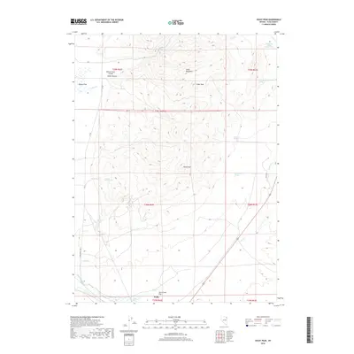
2018 Map of Oxley Peak
USGS Topo · Published 2018About this map
Wells and the historic site of Humboldt Wells sit at the southern edge of this Elko County landscape, marking a vital water source along the California Trail and the headwaters of the Humboldt River. The terrain is dominated by the southern reach of the Snake Mountains, rising to high points at Oxley Peak and Cedar Peak. This area is defined by a complex network of hydrological features, from the dramatic Bishop Creek Canyon and Indian Hollow in the northwest to numerous scattered water sources like Twelvemile Spring, Winchell Spring, and the Hot Springs near the Humboldt drainage. The transition from the rugged mountain slopes to the broad expanse of Town Creek Flat illustrates the basin-and-range geography that dictated early settlement patterns and cattle ranching routes through northeastern Nevada.
Find a feature on this map
32 named features on this map. Tap any name to fly to it.
Don’t see what you’re looking for? This feature index may not catch every label — zoom into the map to look around manually.
Map Details
Editions of this 2018 Oxley Peak Map
This is the sole edition of this map. No revisions or reprints were ever made.
Other maps of this area

1955 · Wells
USGS Topo · 1:250,000

1958 · Wells
USGS Topo · 1:250,000

1961 · Wells
USGS Topo · 1:250,000

1967 · Black Butte
USGS Topo · 1:24,000

1967 · Welcome
USGS Topo · 1:24,000

1967 · Metropolis
USGS Topo · 1:24,000

1968 · Moor Summit
USGS Topo · 1:24,000

1968 · Wells
USGS Topo · 1:24,000

1968 · Melandco
USGS Topo · 1:24,000

1968 · Wells Peak
USGS Topo · 1:24,000