Old Maps of Bristol, Nevada for Academic Research
Study the evolution of Bristol with 10 high-resolution historic maps. Whether you're teaching, researching, or modeling changes in land use, these maps provide essential visual documentation of urban, environmental, and geographic change.
- Analyze long-term change: Track patterns in development, transportation, and natural features.
- Ideal for environmental or urban studies: Support academic projects with primary historical map data.
- Use in the classroom or lab: Educators and researchers rely on these maps to bring historical context to life.
These maps are a powerful tool for teaching, research, and visualizing how Bristol has changed over the decades.
Bristol, NV maps
(10)- 1915 Map of Bristol Range, 1955 Print
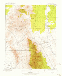 1915 Bristol Range1955 Print · USGSMining camps and narrow-gauge rails define this Nevada landscape during the height of the early 20th-century silver boom. Genealogists and historians can trace the Pioche Pacific (Narrow Gage) railroad through settlements like Jackrabbit and Bristol.2 unique versions available
 - 1917 Map of Bristol Range
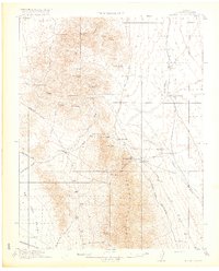 1917 Bristol Range1917 Print · USGSLincoln County mining districts and narrow-gauge rail lines are meticulously preserved in this survey of the Nevada desert during the First World War era. Researchers can trace the industrial infrastructure of Jackrabbit, including its Aerial Tram and the Piocne Pacific Narrow Gage railroad.2 unique versions available
 - 1953 Map of Bristol Range SE, 1955 Print
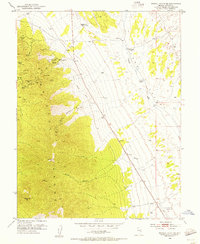 1953 Bristol Range SE1955 Print · USGSMining operations in the Bristol Range were in full swing during the early fifties, defining the economy of this high-desert Nevada landscape. Historians can trace the Old Railroad Grade and locate dozens of specific claims including the Lucky Star Mine, Monarch Mine, and the Bristol School.2 unique versions available
 - 1956 Map of Lund, 1963 Print
 1956 Lund1963 Print · USGSEastern Nevada and the Utah borderlands are mapped here during the mid-fifties, showing a landscape of high-desert ranches and mountain mining camps. Genealogists and historians can trace family locations through sites like Bristol Silver Mines, Lund, and the Sunnyside Whipple Ranch.2 unique versions available
 - 1960 Map of Lund
 1960 Lund1960 Print · USGSEastern Nevada and the Utah borderlands are mapped here during the mid-twentieth century, showing a landscape of high peaks and isolated ranching outposts. Researchers can locate remote mining sites like the Tungsten Queen Mine and early settlements including Lund and Shoshone.
 - 1982 Map of Wilson Creek Range
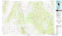 1982 Wilson Creek Range1982 Print · USGSLincoln County mining districts and high-desert basins are captured here in the early eighties as the region balanced mineral production with early conservation. Researchers can trace historic industrial sites like the Atlanta Mine and Bristol Silver Mine or locate remote landmarks such as The Hermitage.
 - 2012 Map of Bristol Range SE, 2012 Print
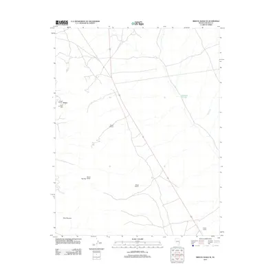 2012 Bristol Range SE2012 Print · USGSCovers Bristol, including Lincoln County, United States, and other nearby areas
 - 2014 Map of Bristol Range SE, 2014 Print
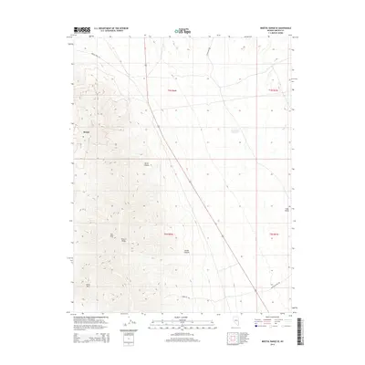 2014 Bristol Range SE2014 Print · USGSCovers Bristol, including Lincoln County, United States, and other nearby areas
 - 2018 Map of Bristol Range SE, 2018 Print
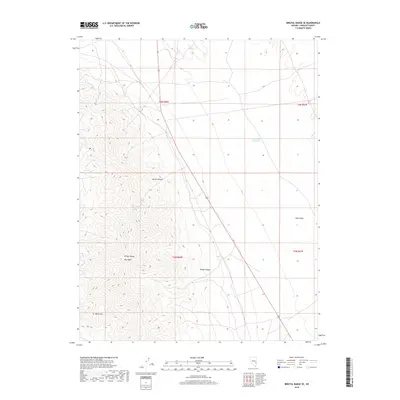 2018 Bristol Range SE2018 Print · USGSCovers Bristol, including Lincoln County, United States, and other nearby areas
 - 2021 Map of Bristol Range SE, 2021 Print
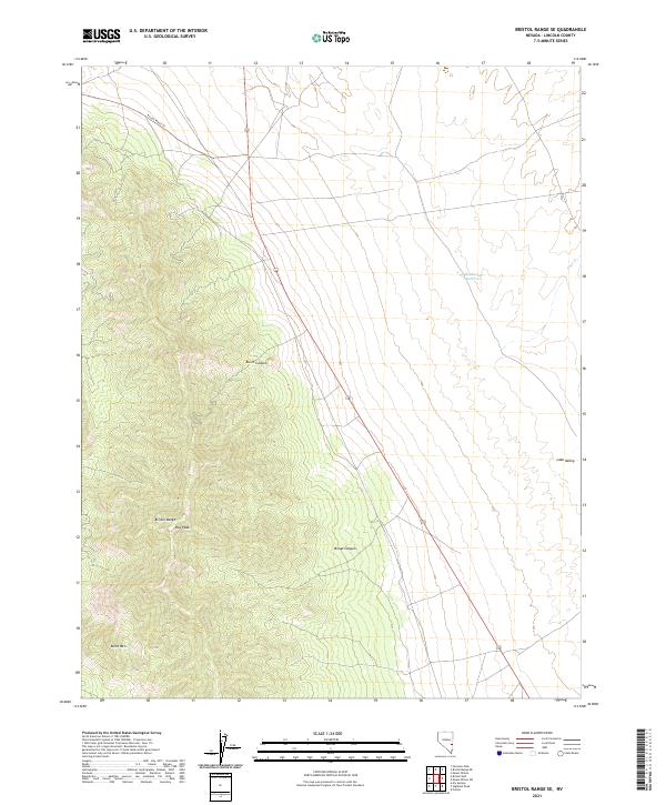 2021 Bristol Range SE2021 Print · USGSHigh desert ridges and deep canyons define this Lincoln County landscape in the early twenty-first century. Researchers can trace land use through the Access Route-Trl and locate water sources like Rockhouse Reservoir near the base of the Bristol Range.
End of results
Showing maps 1-10 of 10
Top cities near Bristol
Frequently asked questions
- What are the different types of historical maps available for Bristol?
- What is the oldest map of Bristol?
- Where can I purchase historical maps of Bristol for my home or office?
- Where can I download high-res historical maps of Bristol?
- Are there historical topographic maps available for Bristol?
- Is there historical aerial imagery available for Bristol?
- Where are historical maps of Bristol sourced from?