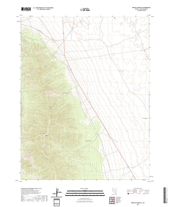
2021 Map of Bristol Range SE
USGS Topo · Published 2021About this map
The Bristol Range dominates the western half of this Lincoln County landscape, rising sharply above the desert floor to reach high points like Roe Peak. To the south, Blind Mtn stands as a distinct landmark overlooking the transition from high ridgelines into the broad expanses of Lake Valley. The topography here is defined by deep incisions like Burnt Canyon and Broad Canyon, which channel seasonal runoff from the mountains toward the eastern basin.
Find a feature on this map
13 named features on this map. Tap any name to fly to it.
Don’t see what you’re looking for? This feature index may not catch every label — zoom into the map to look around manually.
Map Details
Editions of this 2021 Bristol Range SE Map
This is the sole edition of this map. No revisions or reprints were ever made.
Other maps of this area

1885 · Pioche
USGS Topo · 1:250,000

1886 · Pioche
USGS Topo · 1:250,000

1915 · Bristol Range
USGS Topo · 1:62,500

1916 · Highland
USGS Topo · 1:62,500

1917 · Bristol Range
USGS Topo · 1:62,500

1918 · Highland
USGS Topo · 1:62,500

1921 · NW 1/4 Panaca
USGS Topo · 1:48,000

1953 · Highland Peak
USGS Topo · 1:24,000

1953 · Bristol Range SE
USGS Topo · 1:24,000

1953 · Pioche
USGS Topo · 1:24,000