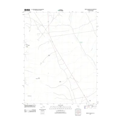
2012 Map of Bristol Range SE
USGS Topo · Published 2012About this map
The Bristol Range dominates this corner of Lincoln County, where industrial and postal history intersect at the base of the mountains. This area preserves the sites of the Tempest Post Office and Bristol Silver Post Office, marking the legacy of the local Bristol settlement. The landscape is defined by its dramatic relief, including the heights of Roe Peak and the isolation of Blind Mountain. Drainage patterns are captured through the winding paths of Burnt Canyon and Broad Canyon, which direct seasonal runoff toward Page Creek and the Rockhouse Reservoir. In the lower elevations to the southeast, the Pioche Airport provides a modern logistical anchor to this historically significant mining and ranching region.
Find a feature on this map
11 named features on this map. Tap any name to fly to it.
Don’t see what you’re looking for? This feature index may not catch every label — zoom into the map to look around manually.
Map Details
Editions of this 2012 Bristol Range SE Map
This is the sole edition of this map. No revisions or reprints were ever made.
Other maps of this area

1885 · Pioche
USGS Topo · 1:250,000

1886 · Pioche
USGS Topo · 1:250,000

1915 · Bristol Range
USGS Topo · 1:62,500

1916 · Highland
USGS Topo · 1:62,500

1917 · Bristol Range
USGS Topo · 1:62,500

1918 · Highland
USGS Topo · 1:62,500

1921 · NW 1/4 Panaca
USGS Topo · 1:48,000

1953 · Highland Peak
USGS Topo · 1:24,000

1953 · Bristol Range SE
USGS Topo · 1:24,000

1953 · Pioche
USGS Topo · 1:24,000